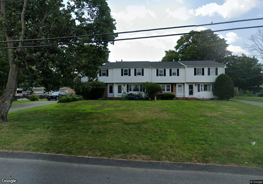
59 Addison Ave Brockton, MA 02302
Estimated Value: $305,000 - $311,000
2
Beds
2
Baths
982
Sq Ft
$314/Sq Ft
Est. Value
About This Home
This home is located at 59 Addison Ave, Brockton, MA 02302 and is currently estimated at $308,767, approximately $314 per square foot. 59 Addison Ave is a home located in Plymouth County with nearby schools including Brookfield Elementary School, Downey Elementary School, and Ashfield Middle School.
Ownership History
Date
Name
Owned For
Owner Type
Purchase Details
Closed on
Sep 8, 2003
Sold by
Spencer Elsie P
Bought by
Rutovich Sandra L and Spencer Jason W
Current Estimated Value
Purchase Details
Closed on
May 20, 2003
Sold by
Quinn Wilma R
Bought by
Spencer Elsie P
Purchase Details
Closed on
Sep 29, 1999
Sold by
Gureckis Peter
Bought by
Quinn Wilma R
Purchase Details
Closed on
Oct 9, 1997
Sold by
Gureckis Peter
Bought by
Allegro Lola
Create a Home Valuation Report for This Property
The Home Valuation Report is an in-depth analysis detailing your home's value as well as a comparison with similar homes in the area
Home Values in the Area
Average Home Value in this Area
Purchase History
| Date | Buyer | Sale Price | Title Company |
|---|---|---|---|
| Rutovich Sandra L | $187,500 | -- | |
| Spencer Elsie P | $187,500 | -- | |
| Quinn Wilma R | $96,500 | -- | |
| Allegro Lola | $56,000 | -- |
Source: Public Records
Mortgage History
| Date | Status | Borrower | Loan Amount |
|---|---|---|---|
| Previous Owner | Allegro Lola | $10,000 | |
| Previous Owner | Allegro Lola | $75,000 | |
| Previous Owner | Allegro Lola | $109,000 |
Source: Public Records
Tax History Compared to Growth
Tax History
| Year | Tax Paid | Tax Assessment Tax Assessment Total Assessment is a certain percentage of the fair market value that is determined by local assessors to be the total taxable value of land and additions on the property. | Land | Improvement |
|---|---|---|---|---|
| 2025 | $2,977 | $245,800 | $0 | $245,800 |
| 2024 | $2,797 | $232,700 | $0 | $232,700 |
| 2023 | $2,713 | $209,000 | $0 | $209,000 |
| 2022 | $2,569 | $183,900 | $0 | $183,900 |
| 2021 | $2,245 | $154,800 | $0 | $154,800 |
| 2020 | $2,445 | $161,400 | $0 | $161,400 |
| 2019 | $2,103 | $135,300 | $0 | $135,300 |
| 2018 | $1,855 | $115,500 | $0 | $115,500 |
| 2017 | $1,724 | $107,100 | $0 | $107,100 |
| 2016 | $1,875 | $108,020 | $0 | $108,020 |
| 2015 | $1,674 | $92,220 | $0 | $92,220 |
| 2014 | $1,471 | $81,150 | $0 | $81,150 |
Source: Public Records
Map
Nearby Homes