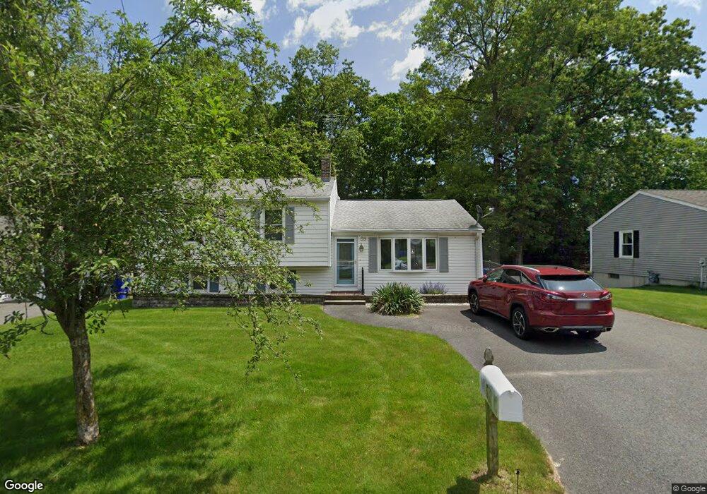
59 Baird Trace Springfield, MA 01118
East Forest Park NeighborhoodEstimated Value: $330,000 - $359,000
3
Beds
1
Bath
1,329
Sq Ft
$257/Sq Ft
Est. Value
About This Home
This home is located at 59 Baird Trace, Springfield, MA 01118 and is currently estimated at $341,631, approximately $257 per square foot. 59 Baird Trace is a home located in Hampden County with nearby schools including Frederick Harris Elementary School, M Marcus Kiley Middle, and Springfield High School of Science and Technology.
Ownership History
Date
Name
Owned For
Owner Type
Purchase Details
Closed on
Feb 25, 2014
Sold by
Davis James C and Davis Mary I
Bought by
Jacobs Lisa D and Davis Kristen M
Current Estimated Value
Purchase Details
Closed on
Apr 30, 1981
Bought by
Davis James C and Davis Mary I
Create a Home Valuation Report for This Property
The Home Valuation Report is an in-depth analysis detailing your home's value as well as a comparison with similar homes in the area
Home Values in the Area
Average Home Value in this Area
Purchase History
| Date | Buyer | Sale Price | Title Company |
|---|---|---|---|
| Jacobs Lisa D | -- | -- | |
| Davis James C | $45,600 | -- |
Source: Public Records
Mortgage History
| Date | Status | Borrower | Loan Amount |
|---|---|---|---|
| Previous Owner | Davis James C | $132,579 | |
| Previous Owner | Davis James C | $73,500 |
Source: Public Records
Tax History
| Year | Tax Paid | Tax Assessment Tax Assessment Total Assessment is a certain percentage of the fair market value that is determined by local assessors to be the total taxable value of land and additions on the property. | Land | Improvement |
|---|---|---|---|---|
| 2025 | $4,757 | $303,400 | $52,400 | $251,000 |
| 2024 | $4,728 | $294,400 | $52,400 | $242,000 |
| 2023 | $4,491 | $263,400 | $49,900 | $213,500 |
| 2022 | $4,244 | $225,500 | $49,900 | $175,600 |
| 2021 | $4,177 | $221,000 | $45,300 | $175,700 |
| 2020 | $3,939 | $201,700 | $45,300 | $156,400 |
| 2019 | $3,810 | $193,600 | $45,300 | $148,300 |
| 2018 | $3,670 | $186,500 | $45,300 | $141,200 |
| 2017 | $3,590 | $182,600 | $45,300 | $137,300 |
| 2016 | $3,207 | $163,100 | $45,300 | $117,800 |
| 2015 | $3,137 | $159,500 | $45,300 | $114,200 |
Source: Public Records
Map
Nearby Homes
- 55 Allen St
- 101 Regal St
- 120 Bridle Path Rd
- 647 Plumtree Rd
- 19 Manor Ct Unit 19
- 17 Pebble Mill Rd
- 86 Talmadge Dr
- 85 Talmadge Dr
- 24 Wands St
- 125 Manor Ct Unit 125
- 509 Plumtree Rd
- 81 W Crystal Brook Dr
- 37 Chesterfield Ave
- 86 Wildwood Ave
- 206 Treetop Ave
- 41 Hillside Dr
- 55 Old Farm Rd
- 47 Hartford Terrace
- 75 Gillette Cir
- 384 Abbott St
- 67 Baird Trace
- 51 Baird Trace
- 45 Baird Trace
- 73 Baird Trace
- 64 Baird Trace
- 54 Baird Trace
- 30 Baird Trace
- 37 Baird Trace
- 79 Baird Trace
- 72 Baird Trace
- 20 Baird Trace
- 214 Burt Rd
- 80 Baird Trace
- 33 Baird Trace
- 27 Baird Trace
- 12 Baird Trace
- 14 Westbanks Ct
- 75 Bairdcrest Rd
- 65 Bairdcrest Rd
- 81 Bairdcrest Rd
Your Personal Tour Guide
Ask me questions while you tour the home.