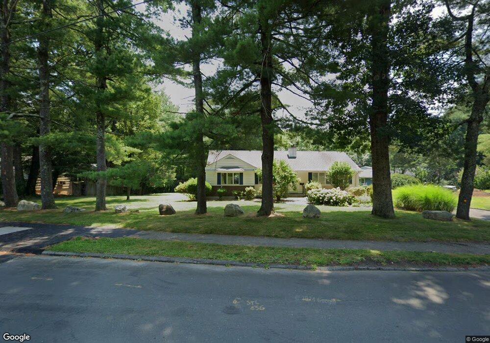
59 Berrian Rd Stamford, CT 06905
Turn of the River-Newfield NeighborhoodEstimated Value: $797,000 - $881,984
2
Beds
3
Baths
2,135
Sq Ft
$395/Sq Ft
Est. Value
About This Home
This home is located at 59 Berrian Rd, Stamford, CT 06905 and is currently estimated at $842,996, approximately $394 per square foot. 59 Berrian Rd is a home located in Fairfield County with nearby schools including Newfield School, Rippowam Middle School, and Stamford High School.
Ownership History
Date
Name
Owned For
Owner Type
Purchase Details
Closed on
Jan 14, 2025
Sold by
Mazzuca Mary A
Bought by
59B Rd Llc
Current Estimated Value
Purchase Details
Closed on
Jan 31, 2001
Sold by
Murphy Kimberly
Bought by
Philbin Kathleen
Home Financials for this Owner
Home Financials are based on the most recent Mortgage that was taken out on this home.
Original Mortgage
$190,400
Interest Rate
7.14%
Mortgage Type
Purchase Money Mortgage
Create a Home Valuation Report for This Property
The Home Valuation Report is an in-depth analysis detailing your home's value as well as a comparison with similar homes in the area
Home Values in the Area
Average Home Value in this Area
Purchase History
| Date | Buyer | Sale Price | Title Company |
|---|---|---|---|
| 59B Rd Llc | -- | None Available | |
| 59B Rd Llc | -- | None Available | |
| Philbin Kathleen | $238,000 | -- | |
| Philbin Kathleen | $238,000 | -- |
Source: Public Records
Mortgage History
| Date | Status | Borrower | Loan Amount |
|---|---|---|---|
| Previous Owner | Philbin Kathleen | $190,400 |
Source: Public Records
Tax History
| Year | Tax Paid | Tax Assessment Tax Assessment Total Assessment is a certain percentage of the fair market value that is determined by local assessors to be the total taxable value of land and additions on the property. | Land | Improvement |
|---|---|---|---|---|
| 2025 | $10,918 | $461,460 | $288,920 | $172,540 |
| 2024 | $10,028 | $433,350 | $288,920 | $144,430 |
| 2023 | $10,773 | $433,350 | $288,920 | $144,430 |
| 2022 | $9,373 | $350,530 | $224,780 | $125,750 |
| 2021 | $9,272 | $350,530 | $224,780 | $125,750 |
| 2020 | $9,033 | $350,530 | $224,780 | $125,750 |
| 2019 | $9,033 | $350,530 | $224,780 | $125,750 |
| 2018 | $8,700 | $350,530 | $224,780 | $125,750 |
| 2017 | $8,500 | $326,910 | $209,250 | $117,660 |
| 2016 | $8,261 | $326,910 | $209,250 | $117,660 |
| 2015 | $8,045 | $326,910 | $209,250 | $117,660 |
| 2014 | $7,777 | $326,910 | $209,250 | $117,660 |
Source: Public Records
Map
Nearby Homes
- 62 Ridge Park Ave
- 47 Wood Ridge Dr
- 212 High Clear Dr
- 1 Megan Ln
- 55 Merriman Rd
- 14 Barmore Dr
- 865 High Ridge Rd Unit 1
- 182 Turner Rd
- 78 Vine Rd
- 10 Turner Rd
- 136 Shadow Ridge Rd
- 102 Hirsch Rd
- 24 Haig Ave
- 53 Waterview Way
- 53 Waterview Way Unit 53
- 168 Belltown Rd Unit 31
- 130 Mulberry St
- 263 Oaklawn Ave
- 173 Belltown Rd
- 154 Knox Rd
Your Personal Tour Guide
Ask me questions while you tour the home.