Estimated Value: $458,000 - $814,000
3
Beds
2
Baths
1,888
Sq Ft
$318/Sq Ft
Est. Value
About This Home
This home is located at 59 Black Brook Rd, Mason, NH 03048 and is currently estimated at $599,510, approximately $317 per square foot. 59 Black Brook Rd is a home.
Ownership History
Date
Name
Owned For
Owner Type
Purchase Details
Closed on
Jun 8, 2007
Sold by
K Cut Corp
Bought by
Mcginnity Robert P and Mcginnity Pamela J
Current Estimated Value
Home Financials for this Owner
Home Financials are based on the most recent Mortgage that was taken out on this home.
Original Mortgage
$150,000
Interest Rate
6.17%
Mortgage Type
Purchase Money Mortgage
Create a Home Valuation Report for This Property
The Home Valuation Report is an in-depth analysis detailing your home's value as well as a comparison with similar homes in the area
Home Values in the Area
Average Home Value in this Area
Purchase History
| Date | Buyer | Sale Price | Title Company |
|---|---|---|---|
| Mcginnity Robert P | $419,000 | -- |
Source: Public Records
Mortgage History
| Date | Status | Borrower | Loan Amount |
|---|---|---|---|
| Open | Mcginnity Robert P | $60,000 | |
| Open | Mcginnity Robert P | $149,000 | |
| Closed | Mcginnity Robert P | $150,000 |
Source: Public Records
Tax History
| Year | Tax Paid | Tax Assessment Tax Assessment Total Assessment is a certain percentage of the fair market value that is determined by local assessors to be the total taxable value of land and additions on the property. | Land | Improvement |
|---|---|---|---|---|
| 2025 | $9,091 | $362,900 | $101,200 | $261,700 |
| 2024 | $9,272 | $362,900 | $101,200 | $261,700 |
| 2023 | $8,608 | $362,900 | $101,200 | $261,700 |
| 2022 | $7,378 | $362,900 | $101,200 | $261,700 |
| 2021 | $7,200 | $362,900 | $101,200 | $261,700 |
| 2020 | $7,533 | $278,900 | $84,200 | $194,700 |
| 2019 | $7,318 | $278,900 | $84,200 | $194,700 |
| 2018 | $7,023 | $278,900 | $84,200 | $194,700 |
| 2017 | $7,014 | $278,900 | $84,200 | $194,700 |
| 2016 | $7,031 | $278,900 | $84,200 | $194,700 |
| 2015 | $7,866 | $330,800 | $77,000 | $253,800 |
| 2014 | $7,853 | $329,800 | $77,000 | $252,800 |
| 2013 | $8,212 | $329,800 | $77,000 | $252,800 |
Source: Public Records
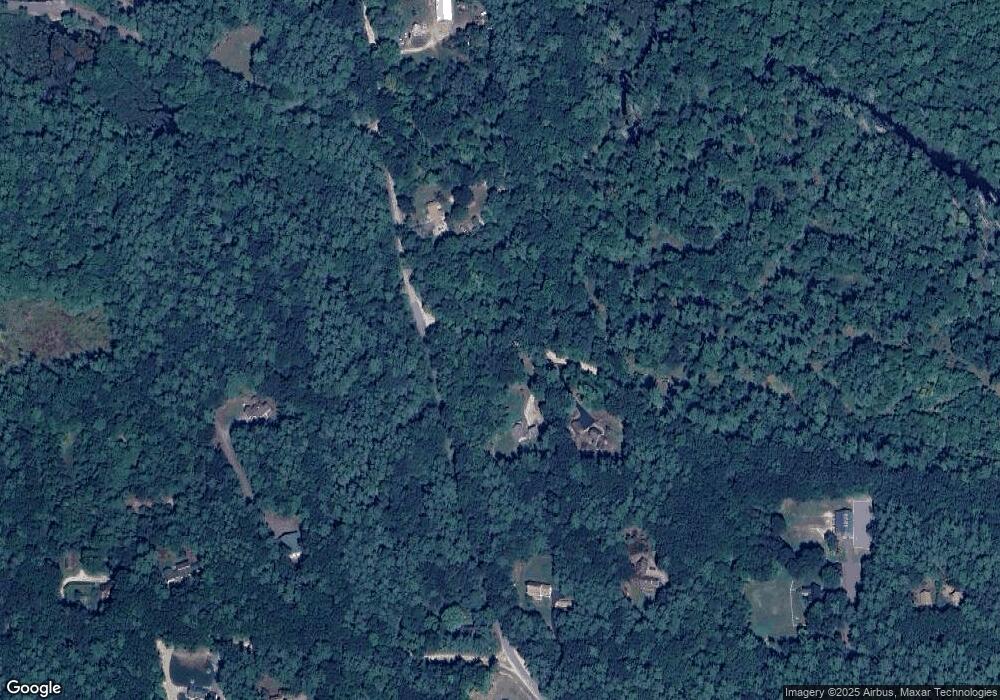
Map
Nearby Homes
- 49 Countryside Dr
- 8 Poor Farm Rd
- 97 Babb Meadow Ln
- 117 Timber Ridge Dr
- 41 Dupaw Gould Rd
- 121 Badger Hill Dr
- 0 Captain Clark Hwy
- 602 Fitchburg Rd Unit 22
- 196 New Hillcrest Dr
- 52 Mason Rd
- 92 New Hillcrest Dr
- 65 Mill St
- 37 McGettigan Rd
- 11 Hubbard Hill Rd
- 410 Hurricane Hill Rd
- 3 Mill St
- 0 Adams St Unit 5073202
- 36 River St
- 44 Adams St
- 9 Winterberry Rd
- 528 Sand Pit Rd
- 506 Sand Pit Rd
- 482 Sand Pit Rd
- 491 Starch Mill Rd
- 594 Sand Pit Rd
- 450 Sand Pit Rd
- 632 Sand Pit Rd
- 439 Sand Pit Rd
- 158 Russell Rd
- 418 Sand Pit Rd
- 543 Starch Mill Rd
- 423 Sand Pit Rd
- 660 Sand Pit Rd
- 394 Sand Pit Rd
- 236 Starch Mill Rd
- 215 Starch Mill Rd
- 592 Starch Mill Rd
- 592 Starch Mill Rd Unit 34
- 238 Russell Rd
- 341 Sand Pit Rd
Your Personal Tour Guide
Ask me questions while you tour the home.