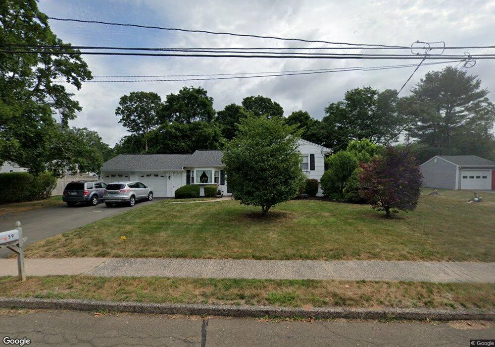
59 Blakeslee Rd Wallingford, CT 06492
Estimated Value: $481,000 - $537,000
4
Beds
3
Baths
1,936
Sq Ft
$262/Sq Ft
Est. Value
About This Home
This home is located at 59 Blakeslee Rd, Wallingford, CT 06492 and is currently estimated at $507,509, approximately $262 per square foot. 59 Blakeslee Rd is a home located in New Haven County with nearby schools including Evarts C. Stevens School, Pond Hill Elementary School, and Dag Hammarskjold Middle School.
Ownership History
Date
Name
Owned For
Owner Type
Purchase Details
Closed on
Feb 1, 1999
Sold by
Gawlak John S and Gawlak Beatrice A
Bought by
Robinson Randall S and Robinson Randall S
Current Estimated Value
Home Financials for this Owner
Home Financials are based on the most recent Mortgage that was taken out on this home.
Original Mortgage
$45,000
Outstanding Balance
$10,437
Interest Rate
6.76%
Estimated Equity
$497,072
Create a Home Valuation Report for This Property
The Home Valuation Report is an in-depth analysis detailing your home's value as well as a comparison with similar homes in the area
Home Values in the Area
Average Home Value in this Area
Purchase History
| Date | Buyer | Sale Price | Title Company |
|---|---|---|---|
| Robinson Randall S | $192,500 | -- | |
| Robinson Randall S | $192,500 | -- |
Source: Public Records
Mortgage History
| Date | Status | Borrower | Loan Amount |
|---|---|---|---|
| Open | Robinson Randall S | $45,000 | |
| Open | Robinson Randall S | $153,600 | |
| Closed | Robinson Randall S | $153,600 | |
| Previous Owner | Robinson Randall S | $42,000 |
Source: Public Records
Tax History
| Year | Tax Paid | Tax Assessment Tax Assessment Total Assessment is a certain percentage of the fair market value that is determined by local assessors to be the total taxable value of land and additions on the property. | Land | Improvement |
|---|---|---|---|---|
| 2025 | $7,195 | $298,300 | $95,400 | $202,900 |
| 2024 | $6,325 | $206,300 | $79,500 | $126,800 |
| 2023 | $6,053 | $206,300 | $79,500 | $126,800 |
| 2022 | $5,991 | $206,300 | $79,500 | $126,800 |
| 2021 | $5,884 | $206,300 | $79,500 | $126,800 |
| 2020 | $5,677 | $194,500 | $82,000 | $112,500 |
| 2019 | $5,677 | $194,500 | $82,000 | $112,500 |
| 2018 | $5,570 | $194,500 | $82,000 | $112,500 |
| 2017 | $5,553 | $194,500 | $82,000 | $112,500 |
| 2016 | $5,425 | $194,500 | $82,000 | $112,500 |
| 2015 | $5,162 | $187,900 | $82,000 | $105,900 |
| 2014 | $5,053 | $187,900 | $82,000 | $105,900 |
Source: Public Records
Map
Nearby Homes
- 10 Pilgrim Harbor Unit C
- 3 Pilgrim Harbor Unit C
- 10 Pilgrim Harbor Unit D
- 57 Terrace Gardens Unit 57
- 70 Scrub Oak Rd
- 69 Terrace Gardens
- 27 Londonderry Dr
- 303 S Elm St Unit 303
- 16 Quigley Rd
- 45 Bradley St
- 100-150 Dodge Ave
- 229 Woodhouse Ave
- 319 S Main St
- 21 Putter Dr Unit 303S
- 16 Putter Dr Unit 207S
- 70 Putter Dr Unit 211
- 36R Nod Brook Rd
- 129 Brentwood Dr
- 120 S Cherry St
- 1450 Mount Carmel Ave
Your Personal Tour Guide
Ask me questions while you tour the home.