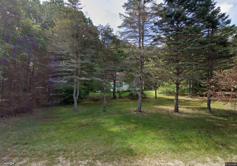
59 Bluff Cir New Gloucester, ME 04260
Estimated Value: $454,000 - $522,000
3
Beds
2
Baths
1,100
Sq Ft
$437/Sq Ft
Est. Value
About This Home
This home is located at 59 Bluff Cir, New Gloucester, ME 04260 and is currently estimated at $481,027, approximately $437 per square foot. 59 Bluff Cir is a home located in Cumberland County with nearby schools including Gray-New Gloucester High School and Fiddlehead School of Arts & Science.
Ownership History
Date
Name
Owned For
Owner Type
Purchase Details
Closed on
Mar 12, 2024
Sold by
Lacadie Harold G and Lacadie Theresa R
Bought by
Lacadie Harold G and Lacadie Theresa R
Current Estimated Value
Purchase Details
Closed on
Oct 26, 2006
Sold by
Lacadie Harold G
Bought by
Lacadie Harold G and Lacadie Theresa R
Create a Home Valuation Report for This Property
The Home Valuation Report is an in-depth analysis detailing your home's value as well as a comparison with similar homes in the area
Home Values in the Area
Average Home Value in this Area
Purchase History
| Date | Buyer | Sale Price | Title Company |
|---|---|---|---|
| Lacadie Harold G | -- | None Available | |
| Lacadie Harold G | -- | -- |
Source: Public Records
Tax History
| Year | Tax Paid | Tax Assessment Tax Assessment Total Assessment is a certain percentage of the fair market value that is determined by local assessors to be the total taxable value of land and additions on the property. | Land | Improvement |
|---|---|---|---|---|
| 2025 | $4,175 | $269,846 | $84,066 | $185,780 |
| 2024 | $4,018 | $269,846 | $84,066 | $185,780 |
| 2023 | $3,856 | $269,846 | $84,066 | $185,780 |
| 2022 | $3,724 | $269,846 | $84,066 | $185,780 |
| 2021 | $3,724 | $269,846 | $84,066 | $185,780 |
| 2020 | $3,683 | $269,846 | $84,066 | $185,780 |
| 2019 | $3,880 | $229,600 | $65,800 | $163,800 |
| 2018 | $3,628 | $229,600 | $65,800 | $163,800 |
| 2017 | $3,582 | $229,600 | $65,800 | $163,800 |
| 2016 | $3,375 | $229,600 | $65,800 | $163,800 |
| 2015 | $3,364 | $229,600 | $65,800 | $163,800 |
| 2014 | $3,329 | $229,600 | $65,800 | $163,800 |
| 2013 | $3,088 | $229,600 | $65,800 | $163,800 |
Source: Public Records
Map
Nearby Homes
- 86 Skips Way
- Lot 21-29 Weymouth Rd
- 3 First Mill Dr
- 65 Blueberry Ln
- 0 Mayall
- 2 Ethan Way
- TBD Targett Rd
- 72 Shaw Brook Ln
- 110 Bennett Rd
- 224 Shaker Rd
- 42 Wild Acres Rd
- 155 & 151 Gloucester Hill Rd
- 17 Callaway Dr Unit 17
- 26 Hemlock Ln
- 52 Colley Hill Rd
- 27 Bull Run
- 4 Chelsey Ln
- 0 Colley Hill Rd
- 97 N Raymond Rd
- 22 Gray Park
Your Personal Tour Guide
Ask me questions while you tour the home.