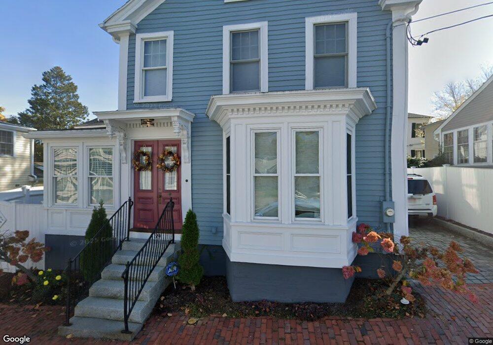
59 Boardman St Unit 5 Newburyport, MA 01950
Estimated Value: $384,811 - $1,282,000
1
Bed
1
Bath
589
Sq Ft
$1,086/Sq Ft
Est. Value
About This Home
This home is located at 59 Boardman St Unit 5, Newburyport, MA 01950 and is currently estimated at $639,703, approximately $1,086 per square foot. 59 Boardman St Unit 5 is a home located in Essex County with nearby schools including Francis T. Bresnahan Elementary School, Edward G. Molin Elementary School, and Rupert A. Nock Middle School.
Ownership History
Date
Name
Owned For
Owner Type
Purchase Details
Closed on
Mar 21, 2022
Sold by
Carol A Zamprogna Ret
Bought by
Emily Rt
Current Estimated Value
Purchase Details
Closed on
Dec 23, 2020
Sold by
Zamprogna Carol A
Bought by
Carol A Zamprogna Ret
Purchase Details
Closed on
Aug 26, 2020
Sold by
Jason G Leblanc Ret
Bought by
Zamprogna Carol
Home Financials for this Owner
Home Financials are based on the most recent Mortgage that was taken out on this home.
Original Mortgage
$196,000
Interest Rate
2.9%
Mortgage Type
New Conventional
Purchase Details
Closed on
Aug 14, 2017
Sold by
Andrews Ray
Bought by
Jason G Leblanc Ret
Purchase Details
Closed on
Nov 29, 2012
Sold by
Fnma
Bought by
Andrews Ray
Purchase Details
Closed on
Nov 16, 2012
Sold by
Lamothe Nicole L
Bought by
Federal National Mortgage Association
Purchase Details
Closed on
Feb 2, 2011
Sold by
Lamothe Nicole L and Wright Adam Edward
Bought by
Lamothe Nicole L
Home Financials for this Owner
Home Financials are based on the most recent Mortgage that was taken out on this home.
Original Mortgage
$116,000
Interest Rate
4.82%
Mortgage Type
Purchase Money Mortgage
Purchase Details
Closed on
Aug 26, 2005
Sold by
Toomey-Manning Ellen and Manning Michael
Bought by
Lamothe Nicole L
Purchase Details
Closed on
Sep 30, 2003
Sold by
Macdonald Evan
Bought by
Manning Michael and Toomey-Manning Ellen
Purchase Details
Closed on
Jun 5, 2001
Sold by
Robbins Mark D and Rhoades Robin E
Bought by
Macdonald Evan
Create a Home Valuation Report for This Property
The Home Valuation Report is an in-depth analysis detailing your home's value as well as a comparison with similar homes in the area
Home Values in the Area
Average Home Value in this Area
Purchase History
| Date | Buyer | Sale Price | Title Company |
|---|---|---|---|
| Emily Rt | $280,000 | None Available | |
| Emily Rt | $280,000 | None Available | |
| Carol A Zamprogna Ret | -- | None Available | |
| Carol A Zamprogna Ret | -- | None Available | |
| Carol A Zamprogna Ret | -- | None Available | |
| Carol A Zamprogna Ret | -- | None Available | |
| Zamprogna Carol | $245,000 | None Available | |
| Zamprogna Carol | $245,000 | None Available | |
| Jason G Leblanc Ret | $180,000 | -- | |
| Jason G Leblanc Ret | $180,000 | -- | |
| Andrews Ray | $84,900 | -- | |
| Andrews Ray | $84,900 | -- | |
| Federal National Mortgage Association | $125,081 | -- | |
| Federal National Mortgage Association | $125,081 | -- | |
| Lamothe Nicole L | -- | -- | |
| Lamothe Nicole L | -- | -- | |
| Lamothe Nicole L | -- | -- | |
| Lamothe Nicole L | -- | -- | |
| Lamothe Nicole L | -- | -- | |
| Lamothe Nicole L | $145,000 | -- | |
| Lamothe Nicole L | $145,000 | -- | |
| Manning Michael | $123,500 | -- | |
| Manning Michael | $123,500 | -- | |
| Macdonald Evan | $75,500 | -- | |
| Macdonald Evan | $75,500 | -- |
Source: Public Records
Mortgage History
| Date | Status | Borrower | Loan Amount |
|---|---|---|---|
| Previous Owner | Zamprogna Carol | $196,000 | |
| Previous Owner | Macdonald Evan | $64,000 | |
| Previous Owner | Lamothe Nicole L | $116,000 |
Source: Public Records
Tax History Compared to Growth
Tax History
| Year | Tax Paid | Tax Assessment Tax Assessment Total Assessment is a certain percentage of the fair market value that is determined by local assessors to be the total taxable value of land and additions on the property. | Land | Improvement |
|---|---|---|---|---|
| 2025 | $2,932 | $306,100 | $0 | $306,100 |
| 2024 | $2,862 | $287,100 | $0 | $287,100 |
| 2023 | $2,850 | $265,400 | $0 | $265,400 |
| 2022 | $2,783 | $231,700 | $0 | $231,700 |
| 2021 | $2,260 | $178,800 | $0 | $178,800 |
| 2020 | $2,251 | $175,300 | $0 | $175,300 |
| 2019 | $2,173 | $166,100 | $0 | $166,100 |
| 2018 | $1,768 | $133,300 | $0 | $133,300 |
| 2017 | $1,714 | $127,400 | $0 | $127,400 |
| 2016 | $1,612 | $120,400 | $0 | $120,400 |
Source: Public Records
Map
Nearby Homes
- 45 Boardman St Unit 1
- 41 Washington St Unit B
- 44 Washington St Unit C
- 14 Dexter Ln Unit B
- 14 Dexter Ln Unit A
- 2 Court St Unit 4
- 158 Merrimac St Unit 3
- 27 Warren St Unit 1
- 58 Merrimac St Unit 2-5
- 126 Merrimac St Unit 35
- 1 Hill St
- 1 Hill St Unit 1
- 13 Broad St
- 10 10th St
- 105 State St Unit 301
- 105 State St Unit 101
- 105 State St Unit 201
- 95 High St Unit 4
- 95 High St Unit 1
- 11 Charter St
- 59 Boardman St Unit 6
- 59 Boardman St Unit 4
- 59 Boardman St Unit 5
- 192 High St
- 192 High St Unit 192
- 55 Boardman St Unit 57
- 55 Boardman St Unit 1
- 57 Boardman St Unit 2
- 57 Boardman St Unit 3
- 64 Boardman St
- 64 Boardman St Unit 2
- 196 High St
- 198 High St
- 196 High St Unit B
- 190 High St Unit A
- 190 High St
- 190 High St Unit 1
- 190 High St Unit 190
- 53 Boardman St
- 62 Boardman St