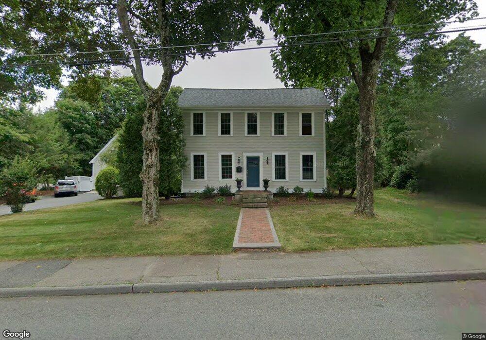
59 Brook St Medfield, MA 02052
Estimated Value: $867,000 - $1,165,715
3
Beds
3
Baths
2,174
Sq Ft
$465/Sq Ft
Est. Value
About This Home
This home is located at 59 Brook St, Medfield, MA 02052 and is currently estimated at $1,011,429, approximately $465 per square foot. 59 Brook St is a home located in Norfolk County with nearby schools including Memorial School, Ralph Wheelock School, and Dale Street School.
Ownership History
Date
Name
Owned For
Owner Type
Purchase Details
Closed on
Mar 10, 2003
Sold by
Lafreniere Kathy W and Sprague Kathy W
Bought by
Odonnell Carolyn C and Odonnell Daniel H
Current Estimated Value
Home Financials for this Owner
Home Financials are based on the most recent Mortgage that was taken out on this home.
Original Mortgage
$313,000
Interest Rate
5.95%
Mortgage Type
Purchase Money Mortgage
Purchase Details
Closed on
Aug 23, 1990
Sold by
Kilmartin Mmark D
Bought by
Sprague Dale W
Create a Home Valuation Report for This Property
The Home Valuation Report is an in-depth analysis detailing your home's value as well as a comparison with similar homes in the area
Home Values in the Area
Average Home Value in this Area
Purchase History
| Date | Buyer | Sale Price | Title Company |
|---|---|---|---|
| Odonnell Carolyn C | $449,500 | -- | |
| Odonnell Carolyn C | $449,500 | -- | |
| Sprague Dale W | $168,900 | -- |
Source: Public Records
Mortgage History
| Date | Status | Borrower | Loan Amount |
|---|---|---|---|
| Open | Sprague Dale W | $277,500 | |
| Closed | Sprague Dale W | $50,000 | |
| Closed | Odonnell Carolyn C | $313,000 |
Source: Public Records
Tax History Compared to Growth
Tax History
| Year | Tax Paid | Tax Assessment Tax Assessment Total Assessment is a certain percentage of the fair market value that is determined by local assessors to be the total taxable value of land and additions on the property. | Land | Improvement |
|---|---|---|---|---|
| 2025 | $13,448 | $974,500 | $423,900 | $550,600 |
| 2024 | $13,082 | $893,600 | $384,400 | $509,200 |
| 2023 | $12,838 | $832,000 | $366,900 | $465,100 |
| 2022 | $11,806 | $677,700 | $349,400 | $328,300 |
| 2021 | $11,498 | $647,400 | $340,700 | $306,700 |
| 2020 | $11,338 | $635,900 | $337,200 | $298,700 |
| 2019 | $11,183 | $625,800 | $332,000 | $293,800 |
| 2018 | $10,140 | $595,400 | $321,500 | $273,900 |
| 2017 | $9,283 | $549,600 | $307,500 | $242,100 |
| 2016 | $8,099 | $483,500 | $298,800 | $184,700 |
| 2015 | $7,726 | $481,700 | $291,900 | $189,800 |
| 2014 | $7,133 | $442,500 | $252,700 | $189,800 |
Source: Public Records
Map
Nearby Homes
- 431 Main St Unit 5
- 34 Frairy St
- 46 Frairy St
- 8 Turtlebrook Way
- 3 Hennery Way Bld E Unit 3
- 14 Harding St
- 94 Pleasant St
- 12 Spruce Way
- 80 West St
- 3 Shining Valley Cir
- 18 Hearthstone Dr
- 10 Hillcrest Rd
- 23 Cross St
- 6 Alcott Way
- 75 Bridge St
- 94 Elm St
- 111 Elm St
- 3 Spring Valley Rd
- 37 Crestview Dr
- 270 South St
- 59 Brook St
- 61 Brook St
- 25 Green St
- 58 Brook St
- 27 Green St
- 56 Brook St
- 56 Brook St Unit 56
- 55 Brook St
- 57 Brook St
- 51 Brook St
- 51 Brook St Unit 51
- 31 Green St
- 23 Green St
- 35 Green St
- 19 Green St
- 5 Thurston Place Unit 3
- 7 Thurston Place Unit 4
- 1 Thurston Place Unit 1
- 9 Thurston Place Unit 5
- 1 Thurston Place