59 Bunker Hill Rd Unit G West Milford, NJ 07480
Estimated Value: $393,690 - $417,000
--
Bed
--
Bath
1,696
Sq Ft
$238/Sq Ft
Est. Value
About This Home
This home is located at 59 Bunker Hill Rd Unit G, West Milford, NJ 07480 and is currently estimated at $404,173, approximately $238 per square foot. 59 Bunker Hill Rd Unit G is a home located in Passaic County with nearby schools including Macopin Middle School and West Milford High School.
Ownership History
Date
Name
Owned For
Owner Type
Purchase Details
Closed on
Dec 15, 2006
Sold by
Nancy D Mancison
Bought by
Tolete Arlan
Current Estimated Value
Home Financials for this Owner
Home Financials are based on the most recent Mortgage that was taken out on this home.
Original Mortgage
$295,750
Outstanding Balance
$176,136
Interest Rate
6.24%
Estimated Equity
$228,037
Purchase Details
Closed on
Nov 15, 2000
Sold by
Galker Lauren
Bought by
Harootunian Nancy
Home Financials for this Owner
Home Financials are based on the most recent Mortgage that was taken out on this home.
Original Mortgage
$130,100
Interest Rate
7.69%
Purchase Details
Closed on
Dec 2, 1998
Sold by
Rocco Kemery Eloise and Rocco Raymond
Bought by
Galke Lauren P
Home Financials for this Owner
Home Financials are based on the most recent Mortgage that was taken out on this home.
Original Mortgage
$137,700
Interest Rate
6.85%
Create a Home Valuation Report for This Property
The Home Valuation Report is an in-depth analysis detailing your home's value as well as a comparison with similar homes in the area
Home Values in the Area
Average Home Value in this Area
Purchase History
| Date | Buyer | Sale Price | Title Company |
|---|---|---|---|
| Tolete Arlan | $304,900 | -- | |
| Harootunian Nancy | $175,100 | -- | |
| Galke Lauren P | $153,000 | -- |
Source: Public Records
Mortgage History
| Date | Status | Borrower | Loan Amount |
|---|---|---|---|
| Open | Tolete Arlan | $295,750 | |
| Previous Owner | Harootunian Nancy | $130,100 | |
| Previous Owner | Galke Lauren P | $137,700 |
Source: Public Records
Tax History Compared to Growth
Tax History
| Year | Tax Paid | Tax Assessment Tax Assessment Total Assessment is a certain percentage of the fair market value that is determined by local assessors to be the total taxable value of land and additions on the property. | Land | Improvement |
|---|---|---|---|---|
| 2025 | $8,323 | $205,300 | $75,000 | $130,300 |
| 2024 | $8,366 | $205,300 | $75,000 | $130,300 |
| 2022 | $8,189 | $205,300 | $75,000 | $130,300 |
| 2021 | $7,771 | $205,300 | $75,000 | $130,300 |
| 2020 | $7,688 | $205,300 | $75,000 | $130,300 |
| 2019 | $7,586 | $205,300 | $75,000 | $130,300 |
| 2018 | $7,567 | $205,300 | $75,000 | $130,300 |
| 2017 | $7,602 | $205,300 | $75,000 | $130,300 |
| 2016 | $7,615 | $205,300 | $75,000 | $130,300 |
| 2015 | $7,526 | $205,300 | $75,000 | $130,300 |
| 2014 | $7,565 | $211,500 | $75,000 | $136,500 |
Source: Public Records
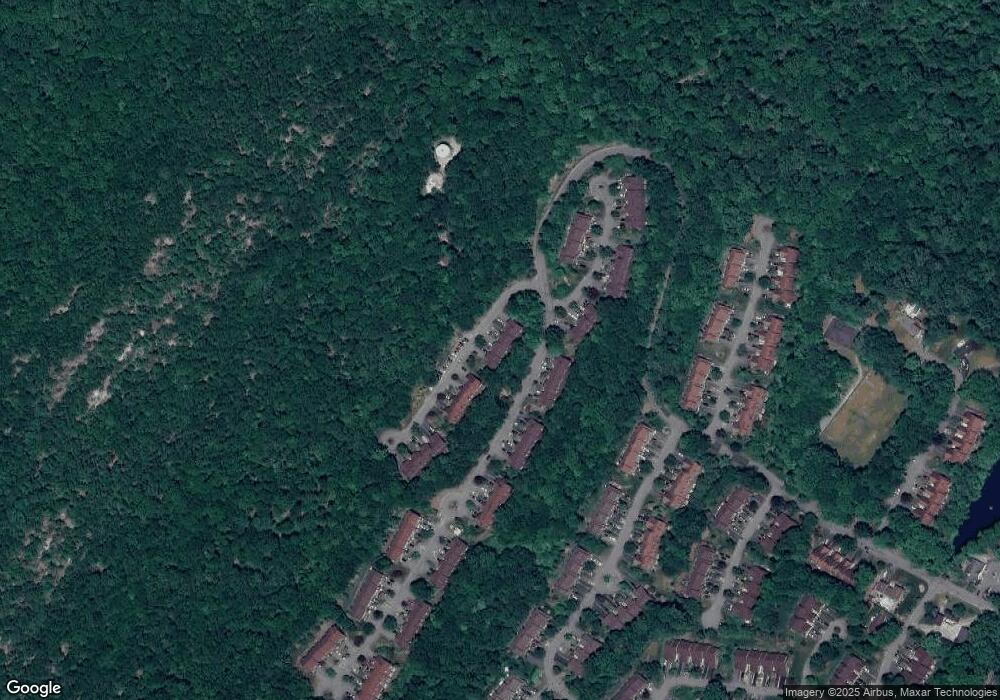
Map
Nearby Homes
- 52 Beacon Hill Rd Unit 52E
- 52 Beacon Hill Rd Unit E
- 29 Concord Rd Unit F
- 28 Concord Rd Unit A
- 30 Concord Rd Unit H
- 30 Concord Rd Unit 30H
- 54 Beacon Hill Rd Unit B
- 54 Beacon Hill Rd
- 34F Salem Alley
- 34 Salem Alley Unit F
- 16 Quincy Ln Unit A
- 16 Quincy Ln
- 7 New Bedford Rd Unit H
- 7 Capstan Rd
- 17 Camelot Dr
- 1731 MacOpin Rd
- 0 Rock Ledge Rd Unit 25030488
- 0 Rock Ledge Rd Unit 3983243
- 95 Morris Ave
- 1772 MacOpin Rd
- 59 Bunker Hill Rd Unit B
- 59 Bunker Hill Rd Unit F
- 59 Bunker Hill Rd Unit H
- 59 Bunker Hill Rd Unit C
- 59 Bunker Hill Rd Unit E
- 59 Bunker Hill Rd Unit A
- 59 Bunker Hill Rd Unit D
- 59 Bunker Hill Rd
- 47 Manchester Ln Unit F
- 47 Manchester Ln Unit B
- 47 Manchester Ln Unit A
- 47 Manchester Ln Unit C
- 47 Manchester Ln Unit E
- 47 Manchester Ln Unit D
- 47 Manchester Ln
- 58 Bunker Hill Rd Unit C
- 58 Bunker Hill Rd Unit A
- 58 Bunker Hill Rd Unit B
- 58 Bunker Hill Rd Unit G
- 58 Bunker Hill Rd Unit H