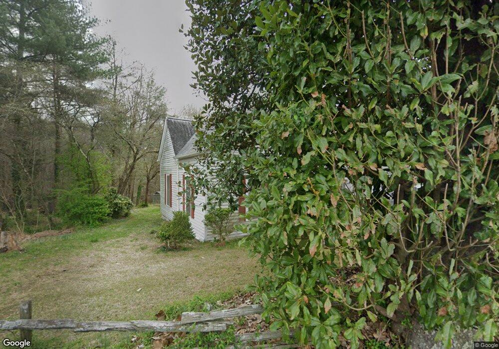
59 Carrollton St Temple, GA 30179
Estimated Value: $237,351 - $260,000
3
Beds
2
Baths
1,475
Sq Ft
$168/Sq Ft
Est. Value
About This Home
This home is located at 59 Carrollton St, Temple, GA 30179 and is currently estimated at $248,338, approximately $168 per square foot. 59 Carrollton St is a home located in Carroll County with nearby schools including Temple Elementary School, Temple Middle School, and Temple High School.
Ownership History
Date
Name
Owned For
Owner Type
Purchase Details
Closed on
Oct 7, 2008
Sold by
Not Provided
Bought by
Fields Robert
Current Estimated Value
Purchase Details
Closed on
Oct 18, 2006
Sold by
Estes Steve R
Bought by
Howard Reese Investments Inc
Purchase Details
Closed on
Jan 1, 2002
Sold by
Estes Elizabeth M
Bought by
Estes Steve R
Purchase Details
Closed on
Aug 17, 1998
Sold by
Estes Elizabeth
Bought by
Estes Steven R
Purchase Details
Closed on
May 11, 1964
Bought by
Estes Ray and Estes Elizabet
Create a Home Valuation Report for This Property
The Home Valuation Report is an in-depth analysis detailing your home's value as well as a comparison with similar homes in the area
Home Values in the Area
Average Home Value in this Area
Purchase History
| Date | Buyer | Sale Price | Title Company |
|---|---|---|---|
| Fields Robert | -- | -- | |
| Howard Reese Investments Inc | $125,000 | -- | |
| Estes Steve R | -- | -- | |
| Estes Steven R | -- | -- | |
| Estes Ray | -- | -- |
Source: Public Records
Tax History Compared to Growth
Tax History
| Year | Tax Paid | Tax Assessment Tax Assessment Total Assessment is a certain percentage of the fair market value that is determined by local assessors to be the total taxable value of land and additions on the property. | Land | Improvement |
|---|---|---|---|---|
| 2024 | $450 | $71,062 | $12,804 | $58,258 |
| 2023 | $450 | $65,805 | $12,805 | $53,000 |
| 2022 | $448 | $51,022 | $8,536 | $42,486 |
| 2021 | $419 | $42,758 | $6,323 | $36,435 |
| 2020 | $403 | $39,007 | $6,323 | $32,684 |
| 2019 | $394 | $36,220 | $6,323 | $29,897 |
| 2018 | $399 | $32,298 | $6,323 | $25,975 |
| 2017 | $410 | $32,298 | $6,323 | $25,975 |
| 2016 | $413 | $32,298 | $6,323 | $25,975 |
| 2015 | $738 | $21,126 | $4,000 | $17,126 |
| 2014 | $742 | $21,126 | $4,000 | $17,126 |
Source: Public Records
Map
Nearby Homes
- 0 Highway 113 Unit 10586141
- The Joiner Plan at School House Trace
- The McCurry Plan at School House Trace
- 116 Tallapoosa St
- 119 E Johnson St
- 161 U S 78
- 95 Rome St
- 96 Rome St
- 104 Streambank Ct
- 102 Streambank Ct
- 140 Creek Crossing Ln
- The Kimberly Plan at Deer Creek
- The Kyndle Plan at Deer Creek
- The Hudson Plan at Deer Creek
- The Maple Plan at Deer Creek
- The Rose Plan at Deer Creek
- 292 E Johnson St
- 103 Deer Crossing Unit LOT 89
- 102 Woodside Ct
- 130 Carroll St
- 51 Carrollton St
- 62 Carrollton St
- 70 Carrollton St
- 26 Carrollton St
- 85 Carrollton St
- 92 Carrollton St
- 11 Church St
- 24 E Buchanan St
- 4 Tallapoosa St
- 100 Carrollton St
- 17 Tallapoosa St
- 12 E Buchanan St
- 113 Carrollton St
- 27 Baskin Dr
- 90 Church St
- 0 Highway 113 Unit 3255453
- 0 Highway 113 Unit 3261664
- 0 Highway 113 Unit 10318954
- 0 Highway 113 Unit 8962138
- 0 Highway 113 Unit 8951993