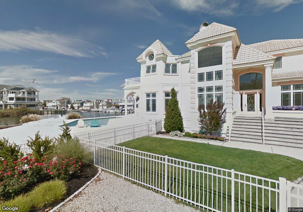
59 Channel Rd Avalon, NJ 08202
Estimated Value: $2,905,387 - $3,201,000
Studio
--
Bath
3,804
Sq Ft
$803/Sq Ft
Est. Value
About This Home
This home is located at 59 Channel Rd, Avalon, NJ 08202 and is currently estimated at $3,056,347, approximately $803 per square foot. 59 Channel Rd is a home located in Cape May County with nearby schools including Middle Township Elementary No. 1, Middle Township Elementary No. 2, and Middle Township Middle School.
Ownership History
Date
Name
Owned For
Owner Type
Purchase Details
Closed on
Sep 27, 2018
Sold by
Pontano Michael and Pontano Mary A
Bought by
Robert D Hager T
Current Estimated Value
Home Financials for this Owner
Home Financials are based on the most recent Mortgage that was taken out on this home.
Original Mortgage
$960,000
Outstanding Balance
$837,177
Interest Rate
4.5%
Mortgage Type
Purchase Money Mortgage
Estimated Equity
$2,219,170
Purchase Details
Closed on
Sep 21, 1989
Bought by
Pontano Michael and Mary Ann
Create a Home Valuation Report for This Property
The Home Valuation Report is an in-depth analysis detailing your home's value as well as a comparison with similar homes in the area
Home Values in the Area
Average Home Value in this Area
Purchase History
| Date | Buyer | Sale Price | Title Company |
|---|---|---|---|
| Robert D Hager T | $1,651,400 | -- | |
| Pontano Michael | $285,000 | -- |
Source: Public Records
Mortgage History
| Date | Status | Borrower | Loan Amount |
|---|---|---|---|
| Open | Robert D Hager T | $960,000 |
Source: Public Records
Tax History
| Year | Tax Paid | Tax Assessment Tax Assessment Total Assessment is a certain percentage of the fair market value that is determined by local assessors to be the total taxable value of land and additions on the property. | Land | Improvement |
|---|---|---|---|---|
| 2025 | $24,445 | $1,159,100 | $682,300 | $476,800 |
| 2024 | $24,445 | $1,159,100 | $682,300 | $476,800 |
| 2023 | $23,831 | $1,159,100 | $682,300 | $476,800 |
| 2022 | $23,147 | $1,159,100 | $682,300 | $476,800 |
| 2021 | $22,533 | $1,159,100 | $682,300 | $476,800 |
| 2020 | $22,127 | $1,159,100 | $682,300 | $476,800 |
| 2019 | $21,559 | $1,159,100 | $682,300 | $476,800 |
| 2018 | $21,223 | $1,159,100 | $682,300 | $476,800 |
| 2017 | $20,493 | $1,142,300 | $665,500 | $476,800 |
| 2016 | $19,979 | $1,142,300 | $665,500 | $476,800 |
| 2015 | $19,830 | $1,142,300 | $665,500 | $476,800 |
| 2014 | $19,705 | $1,142,300 | $665,500 | $476,800 |
Source: Public Records
Map
Nearby Homes
- 658 Avalon Blvd
- 571 Avalon Blvd
- 531 Avalon Blvd
- 647 Barry Rd
- 448 Avalon Blvd
- 447 24th St
- 415 20th St
- 890 21st St
- 389 22nd St
- 386 24th St
- 386 24th St Unit Upper
- 2425 Harbor Ave Unit 2425
- 1668 Ocean Dr Unit B1
- 2928 Ocean Dr Unit C-N
- 16 4th Ave
- 2934 Ocean Dr Unit North
- 211 23rd St
- 285 14th St Unit 285
- 285 14th St
- 212 25th St Unit End Unit
- 11 Seabass Ln
- 51 Channel Rd
- 7 Seabass Ln
- 7 Seabass Ln Unit Waterfront!
- 56 Channel Rd
- 10 Seabass Ln
- 60 Channel Rd
- 54 Channel Rd
- 52 Channel Rd
- 4 Seabass Ln
- 47 Channel Rd
- 25 Meadowview Ln
- 48 Channel Rd
- 2 Seabass Ln
- 103 Meadowview Ln
- 45 Channel Rd
- 105 Meadowview Ln
- 107 Meadowview Ln
- 52 Seabreeze Ln
- 46 Channel Rd
Your Personal Tour Guide
Ask me questions while you tour the home.