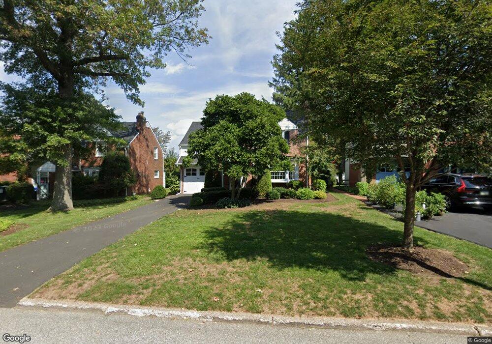
59 Chelfield Rd Glenside, PA 19038
Estimated Value: $388,995 - $476,000
3
Beds
1
Bath
1,235
Sq Ft
$352/Sq Ft
Est. Value
About This Home
This home is located at 59 Chelfield Rd, Glenside, PA 19038 and is currently estimated at $434,749, approximately $352 per square foot. 59 Chelfield Rd is a home located in Montgomery County with nearby schools including Elkins Park School, Cedarbrook Middle School, and Cheltenham High School.
Ownership History
Date
Name
Owned For
Owner Type
Purchase Details
Closed on
Jul 15, 2009
Sold by
Warner Douglas Arthur and Mcdonald James Timothy
Bought by
Derrick Matthew C and Dean Holly A
Current Estimated Value
Home Financials for this Owner
Home Financials are based on the most recent Mortgage that was taken out on this home.
Original Mortgage
$242,310
Outstanding Balance
$159,109
Interest Rate
5.43%
Estimated Equity
$275,640
Purchase Details
Closed on
Jun 26, 1995
Sold by
Straub Charles George and Straub Charles G
Bought by
Mcdonald James Timothy and Warner Douglas Arthur
Create a Home Valuation Report for This Property
The Home Valuation Report is an in-depth analysis detailing your home's value as well as a comparison with similar homes in the area
Home Values in the Area
Average Home Value in this Area
Purchase History
| Date | Buyer | Sale Price | Title Company |
|---|---|---|---|
| Derrick Matthew C | $265,900 | None Available | |
| Mcdonald James Timothy | $140,000 | -- |
Source: Public Records
Mortgage History
| Date | Status | Borrower | Loan Amount |
|---|---|---|---|
| Open | Derrick Matthew C | $242,310 |
Source: Public Records
Tax History
| Year | Tax Paid | Tax Assessment Tax Assessment Total Assessment is a certain percentage of the fair market value that is determined by local assessors to be the total taxable value of land and additions on the property. | Land | Improvement |
|---|---|---|---|---|
| 2025 | $8,466 | $126,770 | $44,590 | $82,180 |
| 2024 | $8,466 | $126,770 | $44,590 | $82,180 |
| 2023 | $8,371 | $126,770 | $44,590 | $82,180 |
| 2022 | $8,227 | $126,770 | $44,590 | $82,180 |
| 2021 | $8,002 | $126,770 | $44,590 | $82,180 |
| 2020 | $7,772 | $126,770 | $44,590 | $82,180 |
| 2019 | $7,617 | $126,770 | $44,590 | $82,180 |
Source: Public Records
Map
Nearby Homes
- 57 Chelfield Rd
- 776 Brooke Rd
- 65 Limekiln Pike
- 140 Linden Ave
- 523 W Glenside Ave
- 245 Linden Ave
- 3009 Limekiln Pike
- 208 Limekiln Pike
- 250 Logan Ave
- 336 Elm Ave
- 257 Girard Ave
- 2718 Hawthorne Rd
- 322 Logan Ave
- 332 Logan Ave
- 910 Edann Rd
- 2621 Hawthorne Rd
- 461 Hamel Ave
- 329 N Tyson Ave
- 705 Falcon Dr
- 624 Hamel Ave
- 61 Chelfield Rd
- 55 Chelfield Rd
- 732 Brooke Rd
- 728 Brooke Rd
- 736 Brooke Rd
- 65 Chelfield Rd
- 60 E Chelfield Rd
- 64 Chelfield Rd
- 65 E Chelfield Rd
- 53 Chelfield Rd
- 740 Brooke Rd
- 60 Chelfield Rd
- 724 Brooke Rd
- 12 Chelfield Rd
- 12 W Chelfield Rd
- 744 Brooke Rd
- 720 Brooke Rd
- 51 Chelfield Rd
- 52 Chelfield Rd
- 67 Chelfield Rd
Your Personal Tour Guide
Ask me questions while you tour the home.