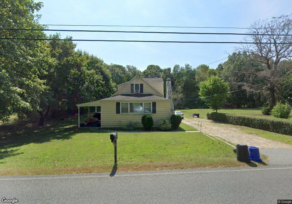
59 Cohansey Rd Bridgeton, NJ 08302
Estimated Value: $264,163 - $315,000
3
Beds
1
Bath
1,440
Sq Ft
$202/Sq Ft
Est. Value
About This Home
This home is located at 59 Cohansey Rd, Bridgeton, NJ 08302 and is currently estimated at $290,541, approximately $201 per square foot. 59 Cohansey Rd is a home located in Salem County with nearby schools including Quinton Township Elementary School and Woodland Country Day School.
Ownership History
Date
Name
Owned For
Owner Type
Purchase Details
Closed on
Dec 14, 2009
Sold by
Starr Charles F
Bought by
Busch Macarthur J
Current Estimated Value
Home Financials for this Owner
Home Financials are based on the most recent Mortgage that was taken out on this home.
Original Mortgage
$139,906
Interest Rate
5.11%
Mortgage Type
FHA
Purchase Details
Closed on
Apr 1, 2009
Sold by
Estate Of Walter L Denby
Bought by
Starr Charles F
Create a Home Valuation Report for This Property
The Home Valuation Report is an in-depth analysis detailing your home's value as well as a comparison with similar homes in the area
Home Values in the Area
Average Home Value in this Area
Purchase History
| Date | Buyer | Sale Price | Title Company |
|---|---|---|---|
| Busch Macarthur J | $142,500 | -- | |
| Starr Charles F | $47,500 | -- |
Source: Public Records
Mortgage History
| Date | Status | Borrower | Loan Amount |
|---|---|---|---|
| Previous Owner | Busch Macarthur J | $139,906 |
Source: Public Records
Tax History Compared to Growth
Tax History
| Year | Tax Paid | Tax Assessment Tax Assessment Total Assessment is a certain percentage of the fair market value that is determined by local assessors to be the total taxable value of land and additions on the property. | Land | Improvement |
|---|---|---|---|---|
| 2025 | $4,869 | $128,300 | $18,100 | $110,200 |
| 2024 | $4,524 | $128,300 | $18,100 | $110,200 |
| 2023 | $4,524 | $128,300 | $18,100 | $110,200 |
| 2022 | $4,224 | $128,300 | $18,100 | $110,200 |
| 2021 | $4,057 | $128,300 | $18,100 | $110,200 |
| 2020 | $3,963 | $128,300 | $18,100 | $110,200 |
| 2019 | $3,917 | $137,300 | $36,000 | $101,300 |
| 2018 | $3,877 | $137,300 | $36,000 | $101,300 |
| 2017 | $3,909 | $137,300 | $36,000 | $101,300 |
| 2016 | $3,817 | $137,300 | $36,000 | $101,300 |
| 2015 | $3,611 | $137,300 | $36,000 | $101,300 |
| 2014 | $3,516 | $137,300 | $36,000 | $101,300 |
Source: Public Records
Map
Nearby Homes
- 158 Telegraph Rd
- 75 Cool Run Rd
- Block 61 & Lot 5 Stretch Rd
- 526 Harmersville Pecks Corner Rd
- 85 Spillway Dr
- 341 Quinton-Marlboro Rd
- 40 42 Spillway Dr
- 214 Jericho Rd
- 20 Geisinger Ave
- 0 Quinton Marlboro Rd Unit NJSA2007280
- 301 Quinton Marlboro Rd
- 360 Harmony Rd
- 0 Cobbs Mill Rd
- L9, 26, 28, 29, 33 Burden Hill
- 280 282 Qtn Marlboro Rd
- 263 Alloway Friesburg Rd
- 16 Laurel Trail
- 48 Watsons Mill Rd
- 44/42 Buckhorn Rd
- 19 Commissioners Pike
- 57 Pecks Corner-Cohansey Rd
- 61 Cohansey Rd
- 57 Cohansey Rd
- 57 Cohansey Rd
- 65 Cohansey Rd
- 53 Pecks Corner-Cohansey Rd
- 53 Cohansey Rd
- 52 Cohansey St
- 51 Cohansey Rd
- Cohansey Rd
- 68 Cohansey Rd
- 49 Brown Rd
- 18 Pecks Corner-Cohansey Rd
- Brown Rd
- 34 Brown Rd
- 43 Brown Rd
- 44 Cohansey Rd
- 39 Brown Rd
- 41 Cohansey Rd
- 40 Cohansey Rd