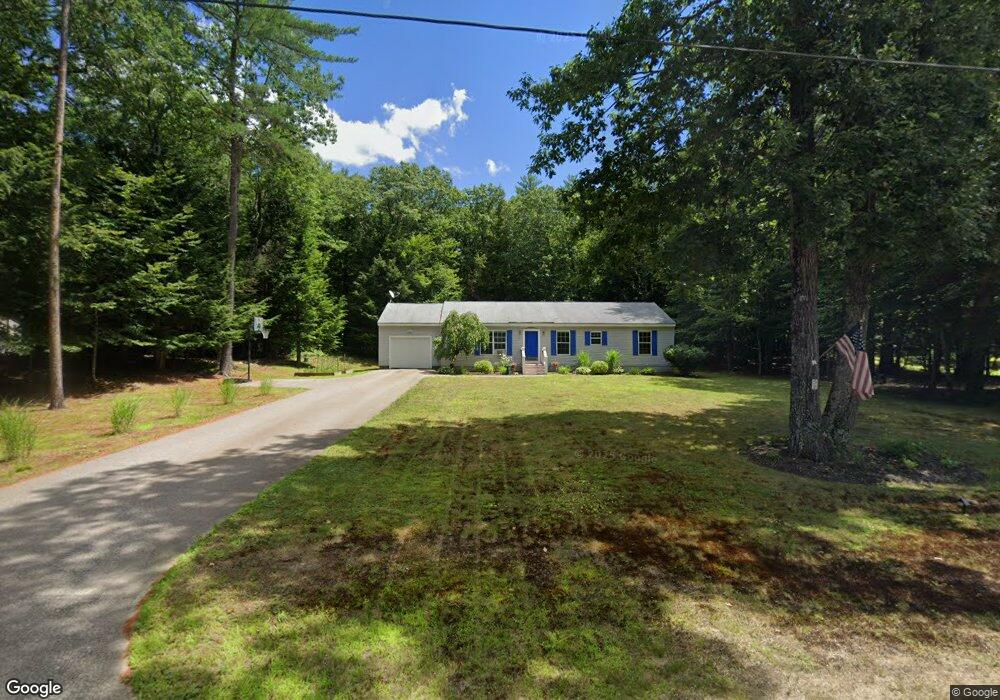
59 Colony Ln New Hampton, NH 03256
Estimated Value: $411,459 - $502,000
3
Beds
2
Baths
1,456
Sq Ft
$309/Sq Ft
Est. Value
About This Home
This home is located at 59 Colony Ln, New Hampton, NH 03256 and is currently estimated at $450,115, approximately $309 per square foot. 59 Colony Ln is a home with nearby schools including New Hampton Community School, A Lakes Region Montessori, and New Hampton School.
Create a Home Valuation Report for This Property
The Home Valuation Report is an in-depth analysis detailing your home's value as well as a comparison with similar homes in the area
Home Values in the Area
Average Home Value in this Area
Tax History
We collect this data history from publicly available records. To have your information removed, we recommend requesting removal directly through your county’s website.
| Year | Tax Paid | Tax Assessment Tax Assessment Total Assessment is a certain percentage of the fair market value that is determined by local assessors to be the total taxable value of land and additions on the property. | Land | Improvement |
|---|---|---|---|---|
| 2025 | $4,589 | $328,700 | $130,400 | $198,300 |
| 2024 | $4,355 | $328,700 | $130,400 | $198,300 |
| 2023 | $4,013 | $328,700 | $130,400 | $198,300 |
| 2022 | $3,985 | $205,500 | $60,200 | $145,300 |
| 2021 | $3,851 | $205,500 | $60,200 | $145,300 |
| 2020 | $3,689 | $205,500 | $60,200 | $145,300 |
| 2019 | $3,954 | $205,500 | $60,200 | $145,300 |
| 2015 | $3,408 | $187,350 | $49,550 | $137,800 |
Source: Public Records
Map
Nearby Homes
- 628 Nh Route 132 N
- 1482 River Rd
- 1555 River Rd
- 3421 River Rd
- 386 Straits Rd
- 35 Mansfield Woods Way
- 62 Town House Rd
- 62 Mansfield Woods Way
- 27 Washington St
- 164 Barron Rd
- 620 Poole Hill Rd
- 30 Riverside Dr
- 12 North Ave
- 28 Cottage St
- 14 North Ave
- Lot 38 Smoke Rise Rd
- 24 Smoke Rise Rd
- Lot 7 Lindsay Ln
- Lot 5 Lindsay Ln
- Lot 35 Smoke Rise Rd
Your Personal Tour Guide
Ask me questions while you tour the home.