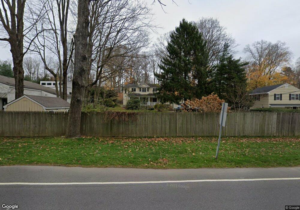
59 Compo Rd S Westport, CT 06880
Compo NeighborhoodEstimated Value: $1,218,000 - $1,665,000
3
Beds
4
Baths
2,419
Sq Ft
$606/Sq Ft
Est. Value
About This Home
This home is located at 59 Compo Rd S, Westport, CT 06880 and is currently estimated at $1,466,945, approximately $606 per square foot. 59 Compo Rd S is a home located in Fairfield County with nearby schools including Saugatuck Elementary School, Bedford Middle School, and Staples High School.
Ownership History
Date
Name
Owned For
Owner Type
Purchase Details
Closed on
Dec 16, 2023
Sold by
Beeler Michael A and Beeler Margaret M
Bought by
Michael A Beeler T A and Michael Beeler
Current Estimated Value
Purchase Details
Closed on
Jul 23, 1999
Sold by
Beach R Scott R and Beach Emery
Bought by
Beeler Michael and Beeler Margaret
Purchase Details
Closed on
Sep 27, 1996
Sold by
Raeder Fred and Raeder Laura
Bought by
Rogers Beach R and Rogers Emery
Purchase Details
Closed on
Mar 26, 1993
Sold by
First Church Of Christ
Bought by
Raeder Fred and Raeder Laura
Create a Home Valuation Report for This Property
The Home Valuation Report is an in-depth analysis detailing your home's value as well as a comparison with similar homes in the area
Home Values in the Area
Average Home Value in this Area
Purchase History
| Date | Buyer | Sale Price | Title Company |
|---|---|---|---|
| Michael A Beeler T A | -- | None Available | |
| Michael A Beeler T A | -- | None Available | |
| Beeler Michael | $411,000 | -- | |
| Beeler Michael | $411,000 | -- | |
| Rogers Beach R | $301,000 | -- | |
| Rogers Beach R | $301,000 | -- | |
| Raeder Fred | $181,000 | -- | |
| Raeder Fred | $181,000 | -- |
Source: Public Records
Mortgage History
| Date | Status | Borrower | Loan Amount |
|---|---|---|---|
| Previous Owner | Raeder Fred | $455,000 | |
| Previous Owner | Raeder Fred | $460,000 |
Source: Public Records
Tax History
| Year | Tax Paid | Tax Assessment Tax Assessment Total Assessment is a certain percentage of the fair market value that is determined by local assessors to be the total taxable value of land and additions on the property. | Land | Improvement |
|---|---|---|---|---|
| 2025 | $10,213 | $541,500 | $348,000 | $193,500 |
| 2024 | $10,083 | $541,500 | $348,000 | $193,500 |
| 2023 | $9,937 | $541,500 | $348,000 | $193,500 |
| 2022 | $9,785 | $541,500 | $348,000 | $193,500 |
| 2021 | $5,417 | $541,500 | $348,000 | $193,500 |
| 2020 | $10,668 | $638,400 | $366,900 | $271,500 |
| 2019 | $10,763 | $638,400 | $366,900 | $271,500 |
| 2018 | $10,763 | $638,400 | $366,900 | $271,500 |
| 2017 | $10,763 | $638,400 | $366,900 | $271,500 |
| 2016 | $10,763 | $638,400 | $366,900 | $271,500 |
| 2015 | $9,083 | $502,100 | $267,300 | $234,800 |
| 2014 | $9,008 | $502,100 | $267,300 | $234,800 |
Source: Public Records
Map
Nearby Homes
- 11 Dogwood Ln
- 102 Compo Rd S
- 21 Rayfield Rd
- 9 Crescent Park Rd
- 26 Crescent Park Rd
- 79 Riverside Ave
- 32 Webb Rd
- 60 Wilton Rd Unit 2C
- 49 Hillspoint Rd
- 80 Compo Rd N
- 781 Post Rd E Unit 104
- 783 Post Rd E Unit 201
- 785 Post Rd E Unit 302
- 785 Post Rd E Unit 102
- 19 Mortar Rock Rd
- 15 Gorham Ave
- 3 Laurel Ln
- 5 Franklin Ave
- 7 Hale St
- 25 Ellery Ln
Your Personal Tour Guide
Ask me questions while you tour the home.