Studio
--
Bath
--
Sq Ft
88,862
Sq Ft Lot
About This Home
This home is located at 59 Davis Point Rd, Wayne, ME 04284. 59 Davis Point Rd is a home.
Create a Home Valuation Report for This Property
The Home Valuation Report is an in-depth analysis detailing your home's value as well as a comparison with similar homes in the area
Home Values in the Area
Average Home Value in this Area
Tax History
| Year | Tax Paid | Tax Assessment Tax Assessment Total Assessment is a certain percentage of the fair market value that is determined by local assessors to be the total taxable value of land and additions on the property. | Land | Improvement |
|---|---|---|---|---|
| 2024 | $8,722 | $737,300 | $409,700 | $327,600 |
| 2023 | $7,400 | $359,200 | $206,900 | $152,300 |
| 2022 | $6,778 | $359,200 | $206,900 | $152,300 |
| 2021 | $6,451 | $359,200 | $206,900 | $152,300 |
| 2020 | $6,451 | $359,200 | $206,900 | $152,300 |
| 2019 | $6,451 | $359,200 | $206,900 | $152,300 |
| 2017 | $5,815 | $359,200 | $206,900 | $152,300 |
| 2016 | $5,327 | $359,200 | $206,900 | $152,300 |
| 2015 | $5,196 | $356,600 | $206,900 | $149,700 |
| 2014 | $5,124 | $356,600 | $206,900 | $149,700 |
| 2013 | $5,064 | $356,600 | $206,900 | $149,700 |
Source: Public Records
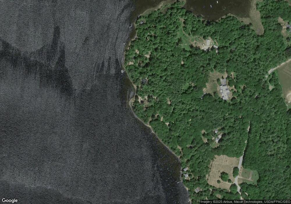
Map
Nearby Homes
- 16 Davis Point Rd
- 506 Main St
- 376 Main St
- M 6, L 32 Main St
- 9 Whispering Pines Cir
- 316 Pond Rd
- 156 Lakeshore Dr
- 57 Deer Hill Rd
- M1, L28 Mount Pisgah Rd
- 64 Paddleford Rd
- 381 Turkey Ln
- 105 Nottingham Rd
- 591 North Rd
- 192 Turkey Ln
- 307 Route 41
- 42 Squire Ct
- 974 Sturtevant Hill Rd
- 60 Route 41
- MR5 L8 Oak Hill Rd
- Lot #6 Anderson Dr
- 12 Sunset Dr
- 11 Sunset Dr
- 21 and 22 Island View Dr
- 22 Island View Dr
- 31 Cedar Point Rd
- 16 Cedar Point Rd
- 21 Island View Dr
- 14 Cedar Point Rd
- 13 Island View Dr
- 12 Cedar Point Rd
- 10 Cedar Point Rd
- 4 Cedar Point Rd
- Map15 Lot2 Moose Run Rd
- 0 Gott Rd
- 45 Peep Toad Ln
- 20 Lake St
- 22 Rainbow Ln
- 27 Gott Rd
- 19 Lake St
- 17 Rainbow Ln
Your Personal Tour Guide
Ask me questions while you tour the home.