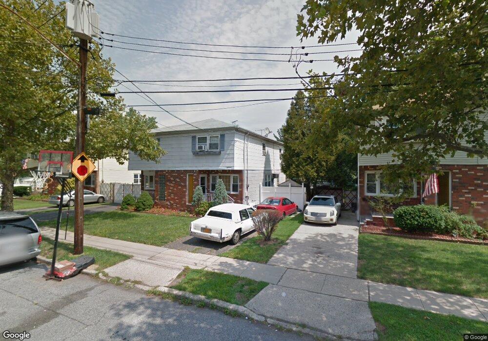
59 Derby Ct Unit 1 Staten Island, NY 10302
Port Richmond NeighborhoodEstimated Value: $552,000 - $666,000
3
Beds
1
Bath
1,276
Sq Ft
$462/Sq Ft
Est. Value
About This Home
This home is located at 59 Derby Ct Unit 1, Staten Island, NY 10302 and is currently estimated at $589,880, approximately $462 per square foot. 59 Derby Ct Unit 1 is a home located in Richmond County with nearby schools including P.S. 19 The Curtis School, Intermediate School 27, and Port Richmond High School.
Ownership History
Date
Name
Owned For
Owner Type
Purchase Details
Closed on
Aug 15, 2005
Sold by
Dejesus Juan Jose and Dejesus Gloria
Bought by
Woods Thomas M and Woods Kristine
Current Estimated Value
Home Financials for this Owner
Home Financials are based on the most recent Mortgage that was taken out on this home.
Original Mortgage
$260,384
Outstanding Balance
$144,083
Interest Rate
6.5%
Mortgage Type
Fannie Mae Freddie Mac
Estimated Equity
$445,797
Create a Home Valuation Report for This Property
The Home Valuation Report is an in-depth analysis detailing your home's value as well as a comparison with similar homes in the area
Home Values in the Area
Average Home Value in this Area
Purchase History
| Date | Buyer | Sale Price | Title Company |
|---|---|---|---|
| Woods Thomas M | $325,480 | Chicago Title Insurance Co |
Source: Public Records
Mortgage History
| Date | Status | Borrower | Loan Amount |
|---|---|---|---|
| Open | Woods Thomas M | $260,384 | |
| Closed | Woods Thomas M | $48,822 |
Source: Public Records
Tax History Compared to Growth
Tax History
| Year | Tax Paid | Tax Assessment Tax Assessment Total Assessment is a certain percentage of the fair market value that is determined by local assessors to be the total taxable value of land and additions on the property. | Land | Improvement |
|---|---|---|---|---|
| 2025 | $3,232 | $30,000 | $7,466 | $22,534 |
| 2024 | $3,244 | $31,260 | $6,760 | $24,500 |
| 2023 | $3,268 | $22,291 | $7,262 | $15,029 |
| 2022 | $2,981 | $25,800 | $9,480 | $16,320 |
| 2021 | $2,975 | $24,660 | $9,480 | $15,180 |
| 2020 | $2,856 | $25,080 | $9,480 | $15,600 |
| 2019 | $2,622 | $22,920 | $9,480 | $13,440 |
| 2018 | $2,542 | $18,576 | $8,975 | $9,601 |
| 2017 | $2,921 | $17,640 | $9,321 | $8,319 |
| 2016 | $2,726 | $16,980 | $9,480 | $7,500 |
| 2015 | $2,359 | $16,408 | $9,939 | $6,469 |
| 2014 | $2,359 | $15,480 | $10,140 | $5,340 |
Source: Public Records
Map
Nearby Homes
- 21 Dryden Ct
- 322 Jewett Ave
- 328 Jewett Ave
- 67 Lexington Ave
- 25 Lexington Ave
- 155 Cortlandt St
- 152 Cortlandt St
- 286 Jewett Ave
- 125 Decker Ave
- 46 Catherine St
- 99 Llewellyn Place
- 938 Post Ave
- 30 Decker Ave
- 176 Dubois Ave
- 119 Dubois Ave
- 1328 Forest Ave
- 859 Post Ave
- 886 Delafield Ave
- 83 Palmer Ave
- 172-174 Llewellyn Place