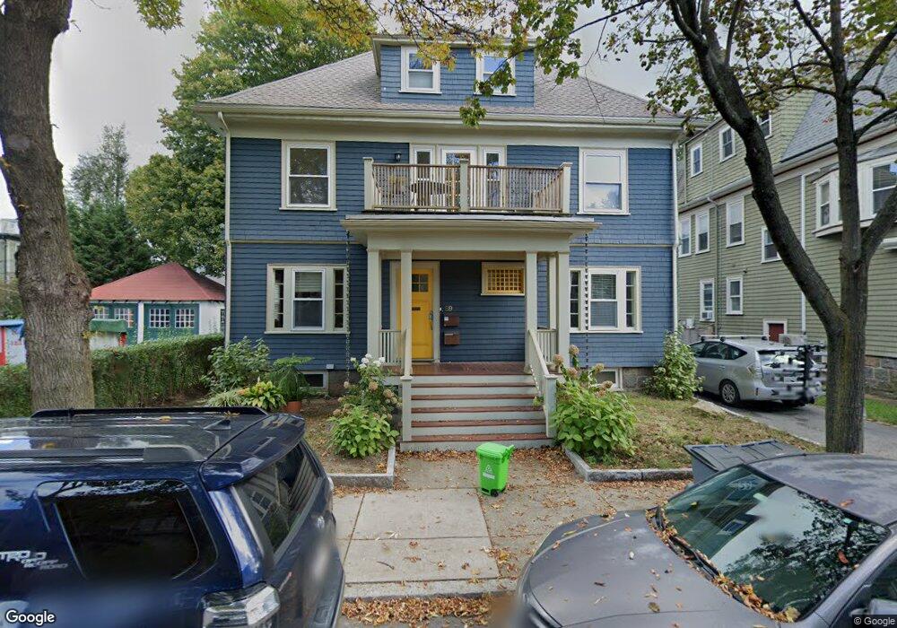
59 Dunster Rd Unit 2 Jamaica Plain, MA 02130
Jamaica Plain NeighborhoodEstimated Value: $1,293,000 - $1,544,000
5
Beds
2
Baths
2,468
Sq Ft
$574/Sq Ft
Est. Value
About This Home
This home is located at 59 Dunster Rd Unit 2, Jamaica Plain, MA 02130 and is currently estimated at $1,416,533, approximately $573 per square foot. 59 Dunster Rd Unit 2 is a home located in Suffolk County with nearby schools including The Croft School - Jamaica Plain and Meridian Academy.
Ownership History
Date
Name
Owned For
Owner Type
Purchase Details
Closed on
Nov 28, 2007
Sold by
Fulton William and Fulton Jennifer
Bought by
Klauber Adam F and Weintraub Rebecca L
Current Estimated Value
Home Financials for this Owner
Home Financials are based on the most recent Mortgage that was taken out on this home.
Original Mortgage
$63,000
Outstanding Balance
$40,246
Interest Rate
6.48%
Mortgage Type
Purchase Money Mortgage
Estimated Equity
$1,376,287
Create a Home Valuation Report for This Property
The Home Valuation Report is an in-depth analysis detailing your home's value as well as a comparison with similar homes in the area
Home Values in the Area
Average Home Value in this Area
Purchase History
| Date | Buyer | Sale Price | Title Company |
|---|---|---|---|
| Klauber Adam F | $600,000 | -- |
Source: Public Records
Mortgage History
| Date | Status | Borrower | Loan Amount |
|---|---|---|---|
| Open | Klauber Adam F | $63,000 |
Source: Public Records
Tax History Compared to Growth
Tax History
| Year | Tax Paid | Tax Assessment Tax Assessment Total Assessment is a certain percentage of the fair market value that is determined by local assessors to be the total taxable value of land and additions on the property. | Land | Improvement |
|---|---|---|---|---|
| 2025 | $14,351 | $1,239,300 | $0 | $1,239,300 |
| 2024 | $11,547 | $1,059,400 | $0 | $1,059,400 |
| 2023 | $10,629 | $989,700 | $0 | $989,700 |
| 2022 | $10,161 | $933,900 | $0 | $933,900 |
| 2021 | $9,769 | $915,600 | $0 | $915,600 |
| 2020 | $9,447 | $894,600 | $0 | $894,600 |
| 2019 | $8,730 | $828,300 | $0 | $828,300 |
| 2018 | $8,511 | $812,100 | $0 | $812,100 |
| 2017 | $8,272 | $781,100 | $0 | $781,100 |
| 2016 | $8,106 | $736,900 | $0 | $736,900 |
| 2015 | $7,824 | $646,100 | $0 | $646,100 |
| 2014 | $7,457 | $592,800 | $0 | $592,800 |
Source: Public Records
Map
Nearby Homes
- 2 Brewer St
- 54 Arborway
- 15 Harris Ave
- 27-29 Ballard St
- 29 Goldsmith St Unit 1
- 55 South St
- 55 South St Unit 3
- 36 Alveston St
- 18 Atwood Square Unit 3
- 584 Centre St
- 66 Seaverns Ave Unit 68B
- 93 Sedgwick St
- 41 Jamaica St
- 45 Parley Ave
- 76 Elm St Unit G05
- 10 Jamaicaway Ct Unit 25
- 10 Jamaicaway Ct Unit 24
- 16 Mcbride St Unit 1
- 16 Mcbride St
- 96 Jamaica St
- 59 Dunster Rd Unit 1
- 59 Dunster Rd
- 55 Dunster Rd
- 55 Dunster Rd Unit 1
- 44 Holbrook St
- 48 Holbrook St
- 46 Holbrook St
- 12 Dane St Unit 12
- 12 Dane St
- 42 Holbrook St
- 67 Dunster Rd
- 67 Dunster Rd Unit 67
- 53 Dunster Rd Unit 2
- 53 Dunster Rd Unit 1
- 50 Holbrook St
- 62 Dunster Rd Unit 2
- 62 Dunster Rd Unit 1
- 62 Dunster Rd
- 58 Dunster Rd
- 58 Dunster Rd