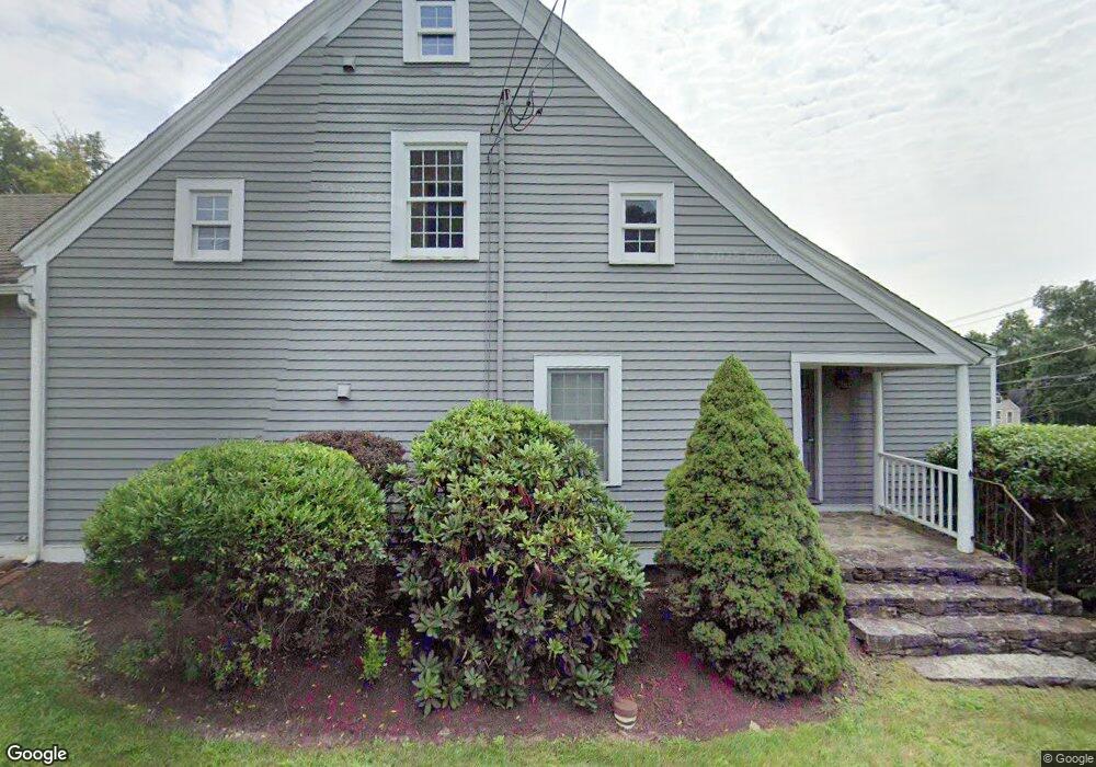
59 E Hill Rd Canton, CT 06019
Estimated Value: $285,706
Studio
--
Bath
2,695
Sq Ft
$106/Sq Ft
Est. Value
About This Home
This home is located at 59 E Hill Rd, Canton, CT 06019 and is currently estimated at $285,706, approximately $106 per square foot. 59 E Hill Rd is a home located in Hartford County with nearby schools including Cherry Brook Primary School, Canton Intermediate School, and Canton Middle School.
Ownership History
Date
Name
Owned For
Owner Type
Purchase Details
Closed on
Aug 27, 2024
Sold by
59 East Hill Road Llc
Bought by
East Hill Heritage Llc
Current Estimated Value
Purchase Details
Closed on
Mar 22, 2013
Sold by
Shemkovitz & Assoc Llc
Bought by
59 East Hill Road Llc
Home Financials for this Owner
Home Financials are based on the most recent Mortgage that was taken out on this home.
Original Mortgage
$405,000
Interest Rate
3.57%
Mortgage Type
Commercial
Purchase Details
Closed on
Jun 4, 2007
Sold by
Mackenzie Mgmt Llc
Bought by
Hampton Walter R
Purchase Details
Closed on
Jun 22, 1993
Sold by
Richards Jacqueline
Bought by
Herlth Tracy
Create a Home Valuation Report for This Property
The Home Valuation Report is an in-depth analysis detailing your home's value as well as a comparison with similar homes in the area
Home Values in the Area
Average Home Value in this Area
Purchase History
| Date | Buyer | Sale Price | Title Company |
|---|---|---|---|
| East Hill Heritage Llc | $275,000 | None Available | |
| East Hill Heritage Llc | $275,000 | None Available | |
| 59 East Hill Road Llc | $450,000 | -- | |
| 59 East Hill Road Llc | $450,000 | -- | |
| Hampton Walter R | $580,000 | -- | |
| Hampton Walter R | $580,000 | -- | |
| Herlth Tracy | $100,000 | -- | |
| Herlth Tracy | $100,000 | -- |
Source: Public Records
Mortgage History
| Date | Status | Borrower | Loan Amount |
|---|---|---|---|
| Previous Owner | Herlth Tracy | $405,000 | |
| Previous Owner | Herlth Tracy | $188,000 |
Source: Public Records
Tax History
| Year | Tax Paid | Tax Assessment Tax Assessment Total Assessment is a certain percentage of the fair market value that is determined by local assessors to be the total taxable value of land and additions on the property. | Land | Improvement |
|---|---|---|---|---|
| 2025 | $10,632 | $317,370 | $140,370 | $177,000 |
| 2024 | $10,838 | $317,370 | $140,370 | $177,000 |
| 2023 | $10,634 | $300,660 | $105,310 | $195,350 |
| 2022 | $10,129 | $300,660 | $105,310 | $195,350 |
| 2021 | $9,988 | $300,660 | $105,310 | $195,350 |
| 2020 | $9,799 | $300,660 | $105,310 | $195,350 |
| 2019 | $9,630 | $300,660 | $105,310 | $195,350 |
| 2018 | $9,630 | $313,680 | $105,310 | $208,370 |
| 2017 | $9,564 | $313,680 | $105,310 | $208,370 |
| 2016 | $9,335 | $313,680 | $105,310 | $208,370 |
| 2015 | $9,156 | $313,680 | $105,310 | $208,370 |
| 2014 | $8,959 | $313,690 | $105,320 | $208,370 |
Source: Public Records
Map
Nearby Homes
- 70 E Hill Rd
- 12 Colony Rd
- 13 Woodland Dr
- 55 Dowd Ave Unit 22
- 72 Dyer Ave
- 152 E Hill Rd
- 14 Brookview Cir
- 706 Timber Ln Unit 706
- 35 Dyer Ave
- 28 Meadowview Ct Unit 28
- 8 Whirling Dun Unit 8
- 49 Applegate Ln Unit 49
- 145 Kingswood Dr
- 110 Windsor Ct
- 94 Lofgren Rd
- 121 Gracey Rd
- 10 Shingle Mill Dr
- 64 Bridge St
- 15 Red Fox Run
- 26 Forest Ln
- 59-61 E Hill Rd
- 59 E Hill Rd
- 325 Albany Turnpike
- 2 Silver Mine Acres
- 292 Albany Turnpike Unit f
- 292 Albany Turnpike
- 292 Albany Turnpike
- 321 Albany Turnpike
- 326 Albany Turnpike
- 324 Albany Turnpike Unit A
- 324 Albany Turnpike Unit 4
- 324 Albany Turnpike Unit 3
- 324-326 Albany Turnpike Unit A
- 324-326 Albany Turnpike Unit 4
- 324-326 Albany Turnpike Unit 2
- 324-326 Albany Turnpike Unit 3
- 324-326 Albany Turnpike Unit 1
- 324-326 Albany Turnpike
- 63 E Hill Rd
- 3 Silver Mine Acres
Your Personal Tour Guide
Ask me questions while you tour the home.