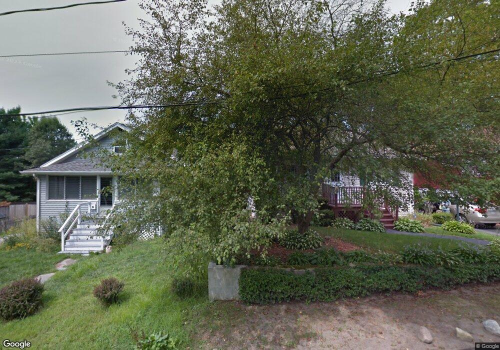
59 Elinor Rd South Weymouth, MA 02190
South Weymouth NeighborhoodEstimated Value: $501,329 - $565,000
3
Beds
1
Bath
1,204
Sq Ft
$444/Sq Ft
Est. Value
About This Home
This home is located at 59 Elinor Rd, South Weymouth, MA 02190 and is currently estimated at $534,582, approximately $444 per square foot. 59 Elinor Rd is a home located in Norfolk County with nearby schools including Thomas W. Hamilton Primary School, Abigail Adams Middle School, and Weymouth Middle School Chapman.
Ownership History
Date
Name
Owned For
Owner Type
Purchase Details
Closed on
Jun 20, 2006
Sold by
Connors Priscilla P
Bought by
Odonnell Lauren A
Current Estimated Value
Home Financials for this Owner
Home Financials are based on the most recent Mortgage that was taken out on this home.
Original Mortgage
$226,000
Outstanding Balance
$133,241
Interest Rate
6.62%
Mortgage Type
Purchase Money Mortgage
Estimated Equity
$401,341
Create a Home Valuation Report for This Property
The Home Valuation Report is an in-depth analysis detailing your home's value as well as a comparison with similar homes in the area
Home Values in the Area
Average Home Value in this Area
Purchase History
| Date | Buyer | Sale Price | Title Company |
|---|---|---|---|
| Odonnell Lauren A | $282,500 | -- |
Source: Public Records
Mortgage History
| Date | Status | Borrower | Loan Amount |
|---|---|---|---|
| Open | Odonnell Lauren A | $226,000 | |
| Closed | Odonnell Lauren A | $42,375 |
Source: Public Records
Tax History Compared to Growth
Tax History
| Year | Tax Paid | Tax Assessment Tax Assessment Total Assessment is a certain percentage of the fair market value that is determined by local assessors to be the total taxable value of land and additions on the property. | Land | Improvement |
|---|---|---|---|---|
| 2025 | $3,322 | $328,900 | $191,100 | $137,800 |
| 2024 | $3,307 | $322,000 | $182,000 | $140,000 |
| 2023 | $3,377 | $323,200 | $185,400 | $137,800 |
| 2022 | $3,602 | $314,300 | $171,700 | $142,600 |
| 2021 | $3,292 | $280,400 | $171,700 | $108,700 |
| 2020 | $3,224 | $270,500 | $171,700 | $98,800 |
| 2019 | $2,803 | $231,300 | $165,100 | $66,200 |
| 2018 | $2,699 | $215,900 | $150,100 | $65,800 |
| 2017 | $2,647 | $206,600 | $143,000 | $63,600 |
| 2016 | $2,592 | $202,500 | $137,500 | $65,000 |
| 2015 | $2,581 | $200,100 | $137,500 | $62,600 |
| 2014 | $2,515 | $189,100 | $127,900 | $61,200 |
Source: Public Records
Map
Nearby Homes
- 60 Greentree Ln Unit 38
- 55 Greentree Ln Unit 19
- 102 White St
- 18 Fountain Ln Unit 2
- 45 Union St
- 25 Wales Ave
- 7 Woodcrest Ct Unit 4
- 299 Union St
- 8 Woodcrest Ct Unit 4
- 11 Woodcrest Ct Unit 5
- 10 Woodcrest Ct Unit 4
- 15 Ranger Cir
- 50 Hollis St
- 261 Pleasant St Unit 5
- 17 Buchanan Ln
- 120 Randolph St
- 27 Park Ave
- 82 Snowbird Ave
- 1 Sparrow Green
- 25 Skyhawk Cir
- 55 Elinor Rd
- 51 Elinor Rd
- 67 Elinor Rd
- 47 Elinor Rd
- 82 Durant Rd
- 75 Durant Rd
- 45 Elinor Rd
- 999 Not Disclosed
- 95/99 Bridge Street (Rt 3a) Unit L
- 000 Withheld Unit A
- Homesite14 -82 Parkview Street:southfield
- Homesite11 Parkview Street: Southfield
- 00 Unnamed Unit /
- 7-9 Bursley Rd Unit 7
- Lot 1 Wampum St
- Lot 7 Wampum St
- Lot 5 Wampum St
- Lot 4 Wampum St
- Lot 3 Wampum St
- Lot 2 Wampum St