59 Flag Swamp Rd North Dartmouth, MA 02747
Estimated Value: $466,000 - $569,000
2
Beds
2
Baths
1,539
Sq Ft
$339/Sq Ft
Est. Value
About This Home
This home is located at 59 Flag Swamp Rd, North Dartmouth, MA 02747 and is currently estimated at $521,233, approximately $338 per square foot. 59 Flag Swamp Rd is a home located in Bristol County with nearby schools including Dartmouth High School, Alma del Mar Charter School, and All Saints Catholic School.
Ownership History
Date
Name
Owned For
Owner Type
Purchase Details
Closed on
Sep 11, 2013
Sold by
Ballard Donald G
Bought by
Ballard Donald G and Ballard Shawnee M
Current Estimated Value
Create a Home Valuation Report for This Property
The Home Valuation Report is an in-depth analysis detailing your home's value as well as a comparison with similar homes in the area
Home Values in the Area
Average Home Value in this Area
Purchase History
| Date | Buyer | Sale Price | Title Company |
|---|---|---|---|
| Ballard Donald G | -- | -- |
Source: Public Records
Tax History Compared to Growth
Tax History
| Year | Tax Paid | Tax Assessment Tax Assessment Total Assessment is a certain percentage of the fair market value that is determined by local assessors to be the total taxable value of land and additions on the property. | Land | Improvement |
|---|---|---|---|---|
| 2025 | $3,727 | $411,800 | $177,300 | $234,500 |
| 2024 | $3,691 | $403,800 | $177,300 | $226,500 |
| 2023 | $3,739 | $385,900 | $177,300 | $208,600 |
| 2022 | $3,699 | $357,000 | $177,300 | $179,700 |
| 2021 | $3,767 | $347,800 | $172,300 | $175,500 |
| 2020 | $3,339 | $306,900 | $145,900 | $161,000 |
| 2019 | $3,211 | $295,900 | $137,100 | $158,800 |
| 2018 | $2,312 | $277,100 | $140,600 | $136,500 |
| 2017 | $2,784 | $261,700 | $132,600 | $129,100 |
| 2016 | $2,739 | $258,900 | $131,100 | $127,800 |
| 2015 | $2,568 | $244,300 | $115,000 | $129,300 |
| 2014 | $2,522 | $241,600 | $115,200 | $126,400 |
Source: Public Records
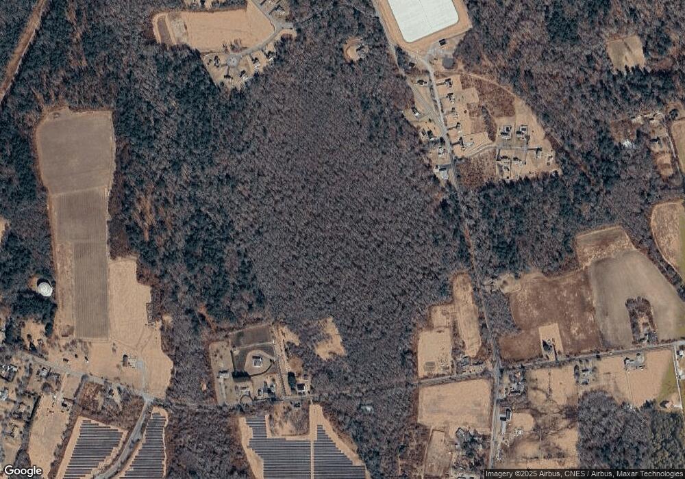
Map
Nearby Homes
- 300 High Hill Rd
- 264 Collins Corner Rd
- 335 Old Fall River Rd
- 349 Old Fall River Rd
- 390 Old Fall River Rd
- 576 Faunce Corner Rd
- 491 Faunce Corner Rd
- 411 Faunce Corner Rd
- Lot 16-18 Old Fall River Rd
- 2-1 N Hixville Rd
- 150 Quanapoag Rd
- Lot 2/3 Quanapoag Rd
- Block 30 Hixville Rd
- Block 27 Hixville Rd
- 496-L62M40 Hixville Rd
- 00 Hixville Rd
- Block 14 Hixville Rd
- 37 Maxine St
- 599 Quanapoag Rd
- 1261 Church St Unit 70
- 67 Flag Swamp Rd
- 51 Flag Swamp Rd
- 1 Flag Swamp Rd
- 978 Faunce Corner Rd
- 58 Flag Swamp Rd
- 75 Flag Swamp Rd
- 35 Flag Swamp Rd
- 83 Flag Swamp Rd
- 974 Faunce Corner Rd Unit LOT2
- 99 Flag Swamp Rd
- 34 Flag Swamp Rd
- 980 Faunce Corner Rd
- 91 Flag Swamp Rd
- 72 Flag Swamp Rd
- 970 Faunce Corner Rd
- 985 Faunce Corner Rd
- 30 Flag Swamp Rd
- 982 Faunce Corner Rd
- 986 Faunce Corner Rd
- 990 Faunce Corner Rd