59 Goodwin Rd Kittery Point, ME 03905
Kittery Point NeighborhoodEstimated Value: $811,348 - $1,896,000
3
Beds
2
Baths
1,813
Sq Ft
$625/Sq Ft
Est. Value
About This Home
This home is located at 59 Goodwin Rd, Kittery Point, ME 03905 and is currently estimated at $1,133,837, approximately $625 per square foot. 59 Goodwin Rd is a home with nearby schools including Horace Mitchell Primary School, Shapleigh School, and Robert W Traip Academy.
Ownership History
Date
Name
Owned For
Owner Type
Purchase Details
Closed on
May 23, 2008
Sold by
White Russell B
Bought by
White Russell B and White Nancy E
Current Estimated Value
Home Financials for this Owner
Home Financials are based on the most recent Mortgage that was taken out on this home.
Original Mortgage
$261,000
Interest Rate
5.46%
Mortgage Type
Purchase Money Mortgage
Create a Home Valuation Report for This Property
The Home Valuation Report is an in-depth analysis detailing your home's value as well as a comparison with similar homes in the area
Home Values in the Area
Average Home Value in this Area
Purchase History
| Date | Buyer | Sale Price | Title Company |
|---|---|---|---|
| White Russell B | -- | -- |
Source: Public Records
Mortgage History
| Date | Status | Borrower | Loan Amount |
|---|---|---|---|
| Open | White Russell B | $20,000 | |
| Closed | White Russell B | $261,000 | |
| Previous Owner | White Russell B | $262,000 |
Source: Public Records
Tax History Compared to Growth
Tax History
| Year | Tax Paid | Tax Assessment Tax Assessment Total Assessment is a certain percentage of the fair market value that is determined by local assessors to be the total taxable value of land and additions on the property. | Land | Improvement |
|---|---|---|---|---|
| 2024 | $6,413 | $451,600 | $171,800 | $279,800 |
| 2023 | $6,146 | $451,600 | $171,800 | $279,800 |
| 2022 | $6,088 | $451,600 | $171,800 | $279,800 |
| 2021 | $5,871 | $451,600 | $171,800 | $279,800 |
| 2020 | $5,826 | $451,600 | $171,800 | $279,800 |
| 2019 | $6,309 | $362,600 | $116,800 | $245,800 |
| 2018 | $6,092 | $362,600 | $116,800 | $245,800 |
| 2017 | $5,526 | $334,900 | $116,800 | $218,100 |
| 2016 | $5,483 | $341,600 | $116,800 | $224,800 |
| 2015 | $5,353 | $341,600 | $116,800 | $224,800 |
| 2014 | $5,302 | $341,600 | $116,800 | $224,800 |
| 2013 | $5,199 | $341,600 | $116,800 | $224,800 |
Source: Public Records
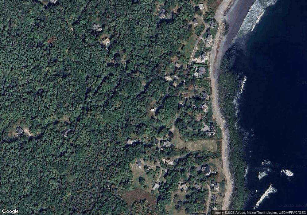
Map
Nearby Homes
- 39 Tenney Hill Rd
- 15 Foyes Ln
- 132 Pepperrell Rd
- 58 Foyes Ln
- 72 Pepperrell Rd
- 25 Bartlett Rd
- 2 Washburn Farm Ln Unit 1
- 7 Washburn Farm Ln Unit 9
- 12 Washburn Farm Ln Unit 3
- 18 Washburn Farm Ln Unit 4
- 20 Washburn Farm Ln Unit 5
- 24 Seabreeze Ln
- 301 Route 103
- 15 Atkinson St
- 109 Bartlett Rd
- 17 Elm Ct
- 175 Wentworth Rd
- 78 Norton Rd Unit 6
- 13 Washburn Farm Ln Unit 7
- 14 Colonial Ln