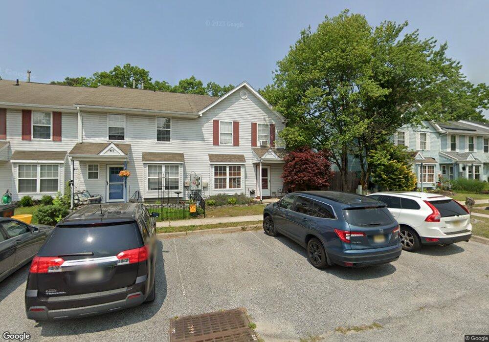
59 Grant Ln Berlin, NJ 08009
Estimated Value: $254,877 - $277,000
3
Beds
2
Baths
1,360
Sq Ft
$197/Sq Ft
Est. Value
About This Home
This home is located at 59 Grant Ln, Berlin, NJ 08009 and is currently estimated at $267,969, approximately $197 per square foot. 59 Grant Ln is a home located in Camden County with nearby schools including John Glenn Elementary School, Pine Hill Middle School, and Cambridge High School.
Ownership History
Date
Name
Owned For
Owner Type
Purchase Details
Closed on
Aug 29, 2008
Sold by
Juliano Joseph N and Juliano Celina M
Bought by
Mason Tyreasea Johnson
Current Estimated Value
Home Financials for this Owner
Home Financials are based on the most recent Mortgage that was taken out on this home.
Original Mortgage
$166,663
Outstanding Balance
$111,752
Interest Rate
6.69%
Mortgage Type
FHA
Estimated Equity
$156,217
Purchase Details
Closed on
May 31, 1996
Sold by
Mcalpin Andrew J
Bought by
Cahill Bernard and Cahill Nancy A
Home Financials for this Owner
Home Financials are based on the most recent Mortgage that was taken out on this home.
Original Mortgage
$81,000
Interest Rate
7.89%
Create a Home Valuation Report for This Property
The Home Valuation Report is an in-depth analysis detailing your home's value as well as a comparison with similar homes in the area
Home Values in the Area
Average Home Value in this Area
Purchase History
| Date | Buyer | Sale Price | Title Company |
|---|---|---|---|
| Mason Tyreasea Johnson | $168,000 | -- | |
| Cahill Bernard | $81,000 | -- |
Source: Public Records
Mortgage History
| Date | Status | Borrower | Loan Amount |
|---|---|---|---|
| Open | Mason Tyreasea Johnson | $166,663 | |
| Previous Owner | Cahill Bernard | $81,000 |
Source: Public Records
Tax History Compared to Growth
Tax History
| Year | Tax Paid | Tax Assessment Tax Assessment Total Assessment is a certain percentage of the fair market value that is determined by local assessors to be the total taxable value of land and additions on the property. | Land | Improvement |
|---|---|---|---|---|
| 2025 | $5,017 | $89,000 | $13,000 | $76,000 |
| 2024 | $4,843 | $89,000 | $13,000 | $76,000 |
| 2023 | $4,843 | $89,000 | $13,000 | $76,000 |
| 2022 | $4,705 | $89,000 | $13,000 | $76,000 |
| 2021 | $4,801 | $89,000 | $13,000 | $76,000 |
| 2020 | $4,704 | $89,000 | $13,000 | $76,000 |
| 2019 | $692 | $89,000 | $13,000 | $76,000 |
| 2018 | $4,837 | $89,000 | $13,000 | $76,000 |
| 2017 | $4,734 | $89,000 | $13,000 | $76,000 |
| 2016 | $6,375 | $151,200 | $25,000 | $126,200 |
| 2015 | $6,199 | $151,200 | $25,000 | $126,200 |
| 2014 | $6,021 | $151,200 | $25,000 | $126,200 |
Source: Public Records
Map
Nearby Homes
- 13 Ford Ln
- 5 Ford Ln
- 93 Grant Ln
- 28 Grand Ave
- 50 Loft Mountain Dr
- 21 Loft Mountain Dr
- 1091 Grandview Dr
- 34 Skyline Dr
- 73 Hazeltop Dr
- 37 Loft Mountain Dr
- 118 Shenandoah Dr Unit SH118
- 12 Loft Mountain Dr Unit LM012
- 15 Kresson Ct
- 108 Estates Rd
- 33 Mac Knight Dr
- 90 Shenandoah Dr
- 49 Hazeltop Dr Unit HZ049
- 4 Woodcrest Ct
- 277 Berlin - Cross Keys Rd
- 271 Berlin - Cross Keys Rd