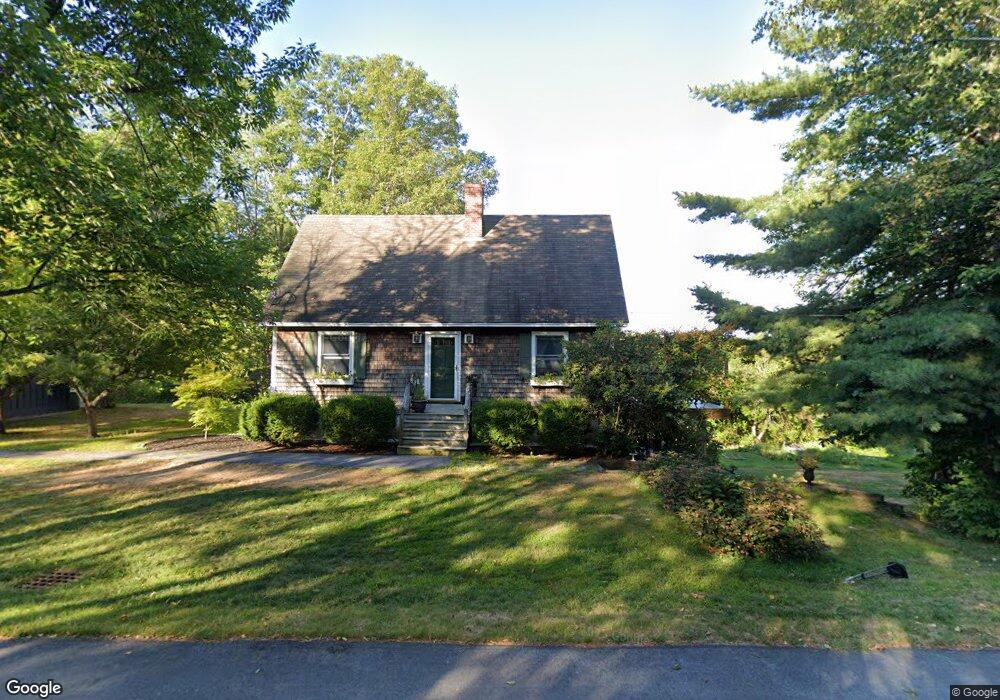
59 Hessian Hill Rd Cornish, ME 04020
Estimated Value: $387,000 - $434,000
4
Beds
3
Baths
1,547
Sq Ft
$264/Sq Ft
Est. Value
About This Home
This home is located at 59 Hessian Hill Rd, Cornish, ME 04020 and is currently estimated at $408,503, approximately $264 per square foot. 59 Hessian Hill Rd is a home located in York County.
Ownership History
Date
Name
Owned For
Owner Type
Purchase Details
Closed on
Oct 28, 2005
Sold by
Childs Althea P
Bought by
Mcauliffe Robert C
Current Estimated Value
Create a Home Valuation Report for This Property
The Home Valuation Report is an in-depth analysis detailing your home's value as well as a comparison with similar homes in the area
Home Values in the Area
Average Home Value in this Area
Purchase History
| Date | Buyer | Sale Price | Title Company |
|---|---|---|---|
| Mcauliffe Robert C | -- | -- | |
| Mcauliffe Robert C | -- | -- |
Source: Public Records
Tax History Compared to Growth
Tax History
| Year | Tax Paid | Tax Assessment Tax Assessment Total Assessment is a certain percentage of the fair market value that is determined by local assessors to be the total taxable value of land and additions on the property. | Land | Improvement |
|---|---|---|---|---|
| 2024 | $2,929 | $318,400 | $74,400 | $244,000 |
| 2023 | $3,052 | $213,400 | $58,400 | $155,000 |
| 2022 | $2,945 | $213,400 | $58,400 | $155,000 |
| 2021 | $2,881 | $213,400 | $58,400 | $155,000 |
| 2020 | $2,860 | $213,400 | $58,400 | $155,000 |
| 2019 | $2,860 | $213,400 | $58,400 | $155,000 |
| 2018 | $2,881 | $213,400 | $58,400 | $155,000 |
| 2016 | $2,751 | $213,400 | $58,400 | $155,000 |
| 2015 | $2,799 | $217,000 | $58,400 | $158,600 |
| 2014 | $2,891 | $224,100 | $58,400 | $165,700 |
Source: Public Records
Map
Nearby Homes
- 20 Hollyhock Farm Ln
- R13/038 Weeks Rd
- Lot #5 Jordan Heights Rd
- 178 Maplecrest Rd
- Lot 5 Fenderson Rd
- 14 Hunter Dr
- 9 Penny Ln
- 27 Nocturne Rd
- 27 Lynn Dr
- Lot #11 Jordan Heights Rd
- Lot #4 Jordan Heights Rd
- 424 Maplecrest Rd
- Lot #8 Jordan Heights Rd
- Lot #2 Jordan Heights Rd
- Lot #3 Jordan Heights Rd
- Lot #00 North Rd
- Lot# 01 North Rd
- Lot #02 North Rd
- 264 Watson Hill Rd
- 0 Sawyer Mountain Rd Unit 1637334
- 70 Hessian Hill Rd
- 56 Hessian Hill Rd
- 51 Hessian Hill Rd
- 84 Hessian Hill Rd
- 48 Hessian Hill Rd
- 23 Sheehan Ln
- 100 Hessian Hill Rd
- 20 Hollyhock Ln
- 316 Long Pond Rd
- 340 Long Pond Rd
- 201 Hessian Hill Rd
- 0 E Shore Camp Road Longpond
- 364 Long Pond Rd
- 192 Hessian Hill Rd
- 00 Long Pond Rd
- R04//Lot16 Long Pond Rd
- R04 Lot 17 Long Pond Rd
- M R04 L 16 Long Pond Rd
- 00 Hessian Hill Rd
- 215 Hessian Hill Rd