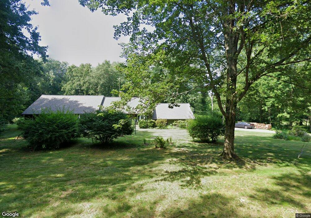
59 High Ridge Rd Redding, CT 06896
Estimated Value: $1,080,000 - $1,155,000
4
Beds
4
Baths
3,912
Sq Ft
$287/Sq Ft
Est. Value
About This Home
This home is located at 59 High Ridge Rd, Redding, CT 06896 and is currently estimated at $1,120,993, approximately $286 per square foot. 59 High Ridge Rd is a home located in Fairfield County with nearby schools including Redding Elementary School, John Read Middle School, and Joel Barlow High School.
Ownership History
Date
Name
Owned For
Owner Type
Purchase Details
Closed on
Oct 16, 2007
Sold by
Bogardus Craig T and Hallinan Elizabeth W
Bought by
Walsh Richard S and Walsh Kristine K
Current Estimated Value
Purchase Details
Closed on
Oct 9, 2007
Sold by
Bogardus Craig T and Hallinan Elizabeth W
Bought by
Walsh Richard S and Walsh Kristine K
Purchase Details
Closed on
Jun 30, 1999
Sold by
Torma Joseph S and Torma Patricia J
Bought by
Bogardus Craig T and Hallinan Elizabeth W
Create a Home Valuation Report for This Property
The Home Valuation Report is an in-depth analysis detailing your home's value as well as a comparison with similar homes in the area
Home Values in the Area
Average Home Value in this Area
Purchase History
| Date | Buyer | Sale Price | Title Company |
|---|---|---|---|
| Walsh Richard S | $745,000 | -- | |
| Walsh Richard S | $732,500 | -- | |
| Bogardus Craig T | $470,000 | -- |
Source: Public Records
Mortgage History
| Date | Status | Borrower | Loan Amount |
|---|---|---|---|
| Open | Bogardus Craig T | $100,000 | |
| Open | Bogardus Craig T | $210,000 | |
| Previous Owner | Bogardus Craig T | $361,857 |
Source: Public Records
Tax History
| Year | Tax Paid | Tax Assessment Tax Assessment Total Assessment is a certain percentage of the fair market value that is determined by local assessors to be the total taxable value of land and additions on the property. | Land | Improvement |
|---|---|---|---|---|
| 2025 | $16,279 | $551,100 | $156,200 | $394,900 |
| 2024 | $15,828 | $551,100 | $156,200 | $394,900 |
| 2023 | $15,260 | $551,100 | $156,200 | $394,900 |
| 2022 | $12,976 | $389,200 | $168,500 | $220,700 |
| 2021 | $12,781 | $389,200 | $168,500 | $220,700 |
| 2020 | $12,781 | $389,200 | $168,500 | $220,700 |
| 2019 | $12,781 | $389,200 | $168,500 | $220,700 |
| 2018 | $12,345 | $389,200 | $168,500 | $220,700 |
| 2017 | $12,630 | $426,400 | $184,300 | $242,100 |
| 2016 | $12,468 | $426,400 | $184,300 | $242,100 |
| 2015 | $12,327 | $426,400 | $184,300 | $242,100 |
| 2014 | $12,327 | $426,400 | $184,300 | $242,100 |
Source: Public Records
Map
Nearby Homes
- 241 Black Rock Turnpike
- 41 Sullivan Dr
- 7 Long Meadow Ln
- 2 Longwood Dr
- 63 Turney Rd
- 41 Deer Hill Rd
- 45 Great Pasture Rd
- 138 Putnam Park Rd
- lot5B Nicolina Way
- 9 Nicolina Way
- 18 Sebastian Tr
- 6 Vona Way
- 193 Chestnut Ridge Rd
- 9A Oak Ridge Dr
- 31 Oak Ridge Dr
- 24 Costa Ln
- 294 Maple Rd
- 173 Chestnut Ridge Rd
- 40 Magellan Ln
- 41 Ridge Line Rd
- 61 High Ridge Rd
- 60 High Ridge Rd
- 62 High Ridge Rd
- 63 High Ridge Rd
- 22 High Ridge Rd
- 55 High Ridge Rd
- 54 High Ridge Rd
- 67 High Ridge Rd
- 475 Newtown Turnpike
- 28 Old Field Ln
- 30 High Ridge Rd
- 32 High Ridge Rd
- 34 High Ridge Rd
- 19 High Ridge Rd
- 9 High Ridge Rd
- 321 Black Rock Turnpike
- 463 Newtown Turnpike
- 53 High Ridge Rd
- 473 Newtown Turnpike
- 331 Black Rock Turnpike
Your Personal Tour Guide
Ask me questions while you tour the home.