59 Highway 184 N Toccoa, GA 30577
Estimated Value: $433,000 - $542,000
4
Beds
2
Baths
3,539
Sq Ft
$133/Sq Ft
Est. Value
About This Home
This home is located at 59 Highway 184 N, Toccoa, GA 30577 and is currently estimated at $472,193, approximately $133 per square foot. 59 Highway 184 N is a home located in Stephens County with nearby schools including Stephens County High School.
Ownership History
Date
Name
Owned For
Owner Type
Purchase Details
Closed on
Aug 10, 2016
Sold by
Dahlke Kelly P and Dahlke Matthew M
Bought by
Sutton Douglas M
Current Estimated Value
Purchase Details
Closed on
Aug 10, 2012
Sold by
Hickey Elaine A
Bought by
Dahlke Kelly Pauline and Dahlke Matthew Mark
Purchase Details
Closed on
Feb 1, 1989
Bought by
Hickey Thomas J and Hickey Elaine A
Create a Home Valuation Report for This Property
The Home Valuation Report is an in-depth analysis detailing your home's value as well as a comparison with similar homes in the area
Home Values in the Area
Average Home Value in this Area
Purchase History
| Date | Buyer | Sale Price | Title Company |
|---|---|---|---|
| Sutton Douglas M | $250,000 | -- | |
| Dahlke Kelly Pauline | -- | -- | |
| Hickey Thomas J | $105,000 | -- |
Source: Public Records
Tax History Compared to Growth
Tax History
| Year | Tax Paid | Tax Assessment Tax Assessment Total Assessment is a certain percentage of the fair market value that is determined by local assessors to be the total taxable value of land and additions on the property. | Land | Improvement |
|---|---|---|---|---|
| 2024 | $3,477 | $114,197 | $17,200 | $96,997 |
| 2023 | $3,262 | $107,120 | $17,200 | $89,920 |
| 2022 | $3,039 | $102,090 | $17,200 | $84,890 |
| 2021 | $3,006 | $96,122 | $17,200 | $78,922 |
| 2020 | $3,035 | $96,094 | $17,200 | $78,894 |
| 2019 | $3,047 | $96,094 | $17,200 | $78,894 |
| 2018 | $3,047 | $96,094 | $17,200 | $78,894 |
| 2017 | $3,094 | $96,054 | $17,200 | $78,854 |
| 2016 | $2,390 | $75,359 | $17,200 | $58,159 |
| 2015 | $2,504 | $75,413 | $17,200 | $58,213 |
| 2014 | $2,546 | $75,413 | $17,200 | $58,213 |
| 2013 | -- | $75,641 | $17,200 | $58,441 |
Source: Public Records
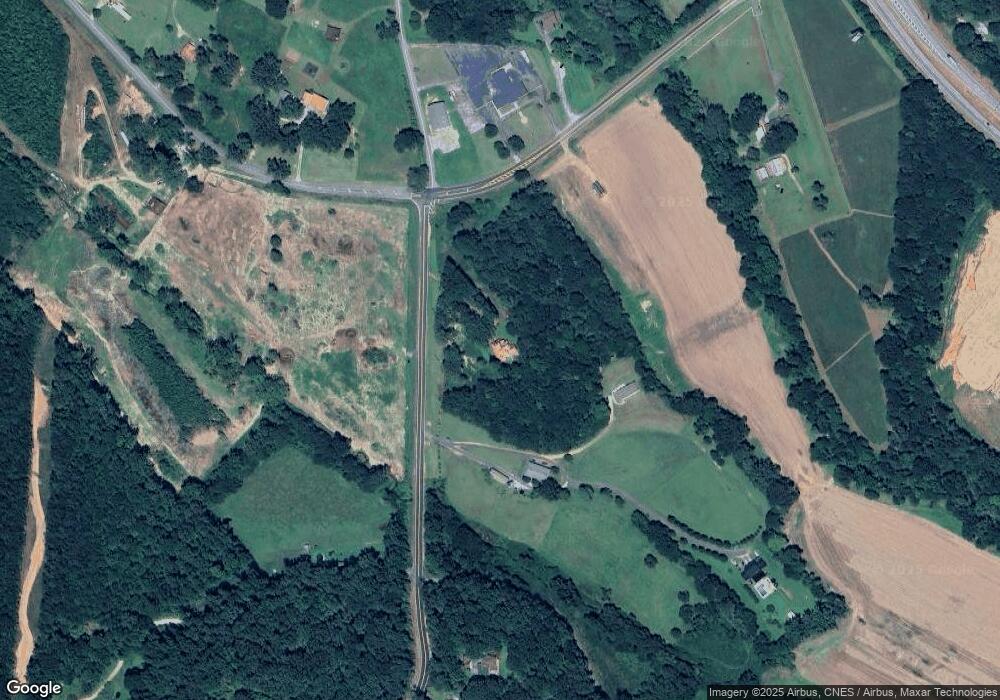
Map
Nearby Homes
- 0 Highway 184 Unit 7606848
- 0 Highway 184 Unit 10547296
- 266 Cawthon Rd
- 9369 Sherwood Ct
- 571 N Currahee Ln
- 4 Piedmont
- 871 W Leatherwood Rd
- 939 W Leatherwood Rd
- 1662 Carnes Creek Rd
- 16 Terri Ln
- 1387 Mize Rd
- 184 Scott Cir
- 97 Hillside Dr
- 151 Richardson St
- 1037 S Pond St
- 1009 S Pond St
- 215 Old Mize Rd
- 3243 Highway 184 N
- 48 Owen St
- 943 S Pond St
- 0 Currahee Rd Unit 8180305
- 131 Highway 184 N
- 0 N Hwy 184 Unit 7199925
- 0 Highway 184 Unit 7554385
- 0 N Hwy 184 Unit 8126972
- 0 N Hwy 184 Unit 3249886
- 0 N Hwy 184 Unit 7381768
- 0 Highway 184 Unit 25 Ac 8597736
- 8125 State Route 123
- 46 State Route 123
- 4768 State Route 123
- 438 State Route 123
- 906 State Route 123 Unit MOTEL
- 3826 W Currahee St
- 240 Highway 184 N
- 285 Highway 184 N
- 74 State Route 123
- 0 State Route 123 Unit 7601066
- 0 State Route 123 Unit 8845391
- 0 State Route 123 Unit 8200957