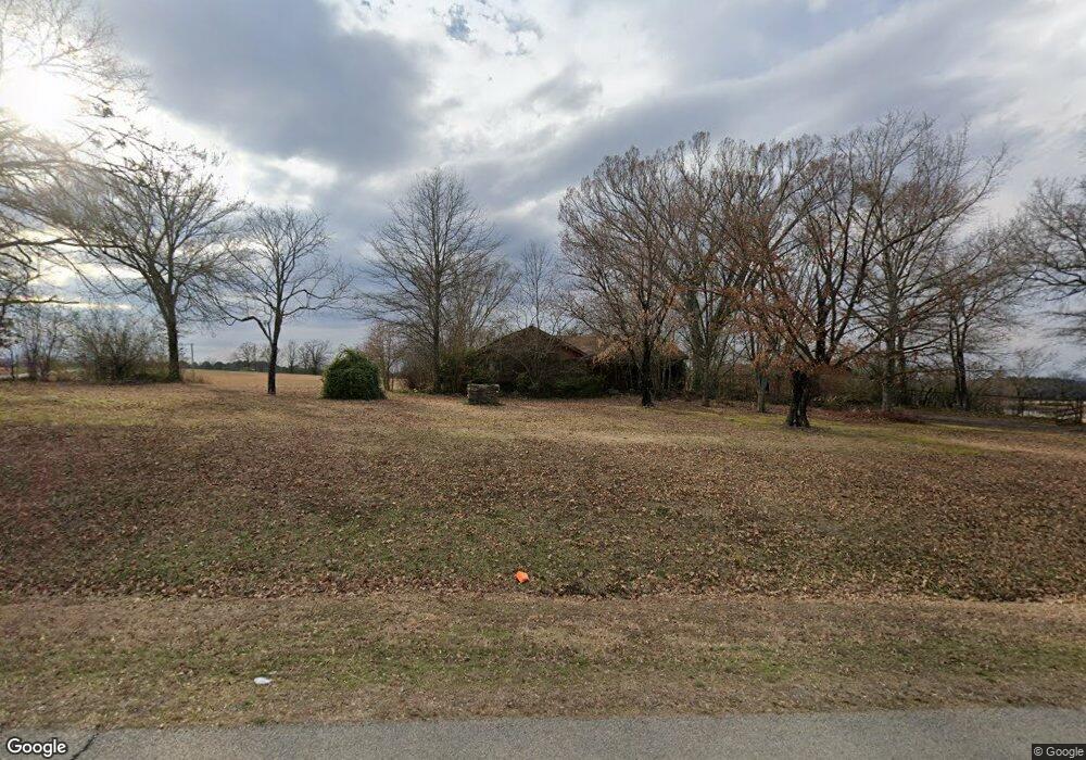
59 Highway 25 N Greenbrier, AR 72058
Estimated Value: $65,816 - $384,000
--
Bed
1
Bath
1,368
Sq Ft
$135/Sq Ft
Est. Value
About This Home
This home is located at 59 Highway 25 N, Greenbrier, AR 72058 and is currently estimated at $184,605, approximately $134 per square foot. 59 Highway 25 N is a home located in Faulkner County with nearby schools including Greenbrier Westside Elementary School, Greenbrier Junior High School, and Greenbrier High School.
Ownership History
Date
Name
Owned For
Owner Type
Purchase Details
Closed on
Apr 19, 2011
Bought by
Acre Robert F and Acre Margaret A
Current Estimated Value
Purchase Details
Closed on
Nov 13, 2006
Bought by
Acre
Purchase Details
Closed on
Feb 17, 1998
Bought by
Pearson and Pearson Acre
Purchase Details
Closed on
Aug 21, 1995
Bought by
Corrected Esmt
Purchase Details
Closed on
Nov 14, 1994
Bought by
Water Esmnt
Purchase Details
Closed on
Sep 8, 1994
Bought by
Comm Water System
Create a Home Valuation Report for This Property
The Home Valuation Report is an in-depth analysis detailing your home's value as well as a comparison with similar homes in the area
Home Values in the Area
Average Home Value in this Area
Purchase History
| Date | Buyer | Sale Price | Title Company |
|---|---|---|---|
| Acre Robert F | -- | -- | |
| Acre Robert F | -- | -- | |
| Acre | -- | -- | |
| Pearson | -- | -- | |
| Corrected Esmt | -- | -- | |
| Water Esmnt | -- | -- | |
| Comm Water System | -- | -- |
Source: Public Records
Tax History Compared to Growth
Tax History
| Year | Tax Paid | Tax Assessment Tax Assessment Total Assessment is a certain percentage of the fair market value that is determined by local assessors to be the total taxable value of land and additions on the property. | Land | Improvement |
|---|---|---|---|---|
| 2025 | $207 | $4,930 | $4,380 | $550 |
| 2024 | $191 | $4,930 | $4,380 | $550 |
| 2023 | $174 | $3,910 | $3,360 | $550 |
| 2022 | $161 | $3,910 | $3,360 | $550 |
| 2021 | $148 | $3,910 | $3,360 | $550 |
| 2020 | $134 | $2,730 | $2,340 | $390 |
| 2019 | $134 | $2,730 | $2,340 | $390 |
| 2018 | $635 | $12,900 | $2,340 | $10,560 |
| 2017 | $635 | $12,900 | $2,340 | $10,560 |
| 2016 | $635 | $12,900 | $2,340 | $10,560 |
| 2015 | $629 | $13,580 | $2,290 | $11,290 |
| 2014 | $629 | $13,580 | $2,290 | $11,290 |
Source: Public Records
Map
Nearby Homes
- 27 Woodridge Dr
- 4 Woodridge Dr
- 52 Sky Eagle Dr
- 44 Sky Eagle Dr
- 43 Sky Eagle Dr
- 20 Sky Eagle Dr
- 19 Sky Eagle Dr
- 6 Sugar Maple Dr
- 10 Sugar Maple Dr
- 6 Stockbridge Dr
- 2 Silver Leaf Cove
- 5 Pine Shadow
- 7 Pine Shadow Dr
- 69 Summer Sky Dr
- 73 Summer Sky Dr
- 77 Summer Sky Dr
- 26 High Point Dr
- 32 High Point Dr
- 31 High Point Dr
- 37 High Point Dr
- 52 Highway 25 N
- 56 Highway 25 N
- 54 Highway 25 N
- 45 Highway 25 N
- 0 Merritt Ln
- 15 Merritt Ln
- 15 Merritt Ln
- 62 Highway 25 N
- 62 Highway 25 N
- 9 Merritt Ln
- 64 Highway 25 N
- 1154 Highway 65 N
- 73 Highway 25 N
- 12 Sethstone Dr
- 4 W Cedar Hill Rd
- 20 Patricia Dr
- Lot 30 Sethstone
- 80 Highway 25 N
- 0 Hwy 65 N Unit 15026779
- 0 Hwy 65 N Unit 19034356