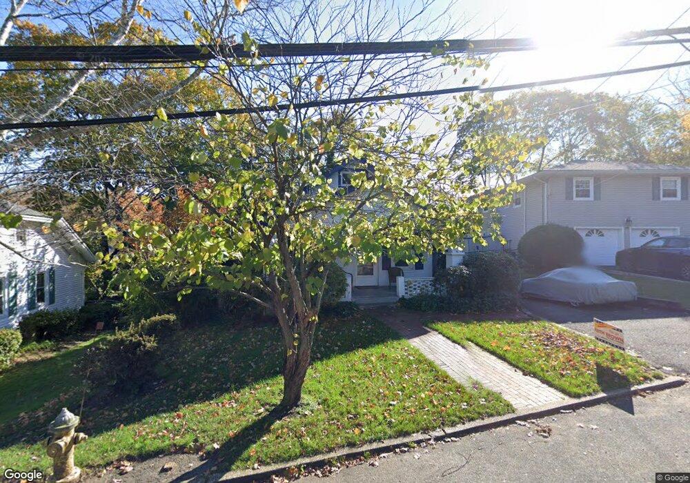
59 Hillside Ave Huntington, NY 11743
Estimated Value: $777,464 - $949,000
--
Bed
--
Bath
--
Sq Ft
5,227
Sq Ft Lot
About This Home
This home is located at 59 Hillside Ave, Huntington, NY 11743 and is currently estimated at $869,866. 59 Hillside Ave is a home located in Suffolk County with nearby schools including Woodhull Intermediate School, J Taylor Finley Middle School, and St Patrick's School.
Ownership History
Date
Name
Owned For
Owner Type
Purchase Details
Closed on
Sep 5, 2008
Sold by
Strieb Max
Bought by
Patrick Edward F
Current Estimated Value
Home Financials for this Owner
Home Financials are based on the most recent Mortgage that was taken out on this home.
Original Mortgage
$325,000
Outstanding Balance
$216,687
Interest Rate
6.57%
Mortgage Type
Stand Alone First
Estimated Equity
$653,179
Purchase Details
Closed on
Apr 10, 1997
Sold by
Silverberg Roger H and Abraham Evelyn C
Bought by
Strieb Max and Bortman Marci
Create a Home Valuation Report for This Property
The Home Valuation Report is an in-depth analysis detailing your home's value as well as a comparison with similar homes in the area
Home Values in the Area
Average Home Value in this Area
Purchase History
| Date | Buyer | Sale Price | Title Company |
|---|---|---|---|
| Patrick Edward F | $449,000 | Richard Levchuck | |
| Strieb Max | $154,500 | -- |
Source: Public Records
Mortgage History
| Date | Status | Borrower | Loan Amount |
|---|---|---|---|
| Open | Patrick Edward F | $325,000 |
Source: Public Records
Tax History Compared to Growth
Tax History
| Year | Tax Paid | Tax Assessment Tax Assessment Total Assessment is a certain percentage of the fair market value that is determined by local assessors to be the total taxable value of land and additions on the property. | Land | Improvement |
|---|---|---|---|---|
| 2024 | $11,542 | $2,925 | $300 | $2,625 |
| 2023 | $5,771 | $2,925 | $300 | $2,625 |
| 2022 | $11,442 | $2,925 | $300 | $2,625 |
| 2021 | $11,385 | $2,925 | $300 | $2,625 |
| 2020 | $11,227 | $2,925 | $300 | $2,625 |
| 2019 | $22,454 | $0 | $0 | $0 |
| 2018 | $10,623 | $2,925 | $300 | $2,625 |
| 2017 | $10,623 | $2,925 | $300 | $2,625 |
| 2016 | $10,402 | $2,925 | $300 | $2,625 |
| 2015 | -- | $2,925 | $300 | $2,625 |
| 2014 | -- | $2,925 | $300 | $2,625 |
Source: Public Records
Map
Nearby Homes
- 126 Carley Ave
- 44 Nathan Hale Dr Unit 58A
- 434 W Main St
- 49 Nathan Hale Dr Unit 11A
- 15 Briarwood Dr
- 67 W Neck Rd
- 105 Soundview Rd
- 107 Soundview Rd
- 4 Pine St
- 46 Mechanic St
- 17 Dumbarton Dr
- 12 Griffith Ln
- 144 W Neck Rd
- 9 Griffith Ln
- 18 Maple Place
- 18 Quaker Path
- 20 Tall Tree Ct
- 1 Mechanic Ct
- 20 Gibson Ave Unit 3D
- 86 Elm St
- 55 Hillside Ave
- 65 Hillside Ave
- 51 Hillside Ave
- 36 Hillside Ave
- 38 Hillside Ave
- 93 Woodbury Rd
- 107 Woodbury Rd
- 107 Woodbury Rd
- 107 Woodbury Rd Unit 1
- 101 Woodbury Rd
- 101 Woodbury Rd Unit 1
- 47 Hillside Ave
- 60 Hillside Ave
- 91 Woodbury Rd
- 34 Hillside Ave
- 156 Carley Ave
- 45 Hillside Ave
- 49 Hillside Ave
- 160 Carley Ave
- 40 Hillside Ave