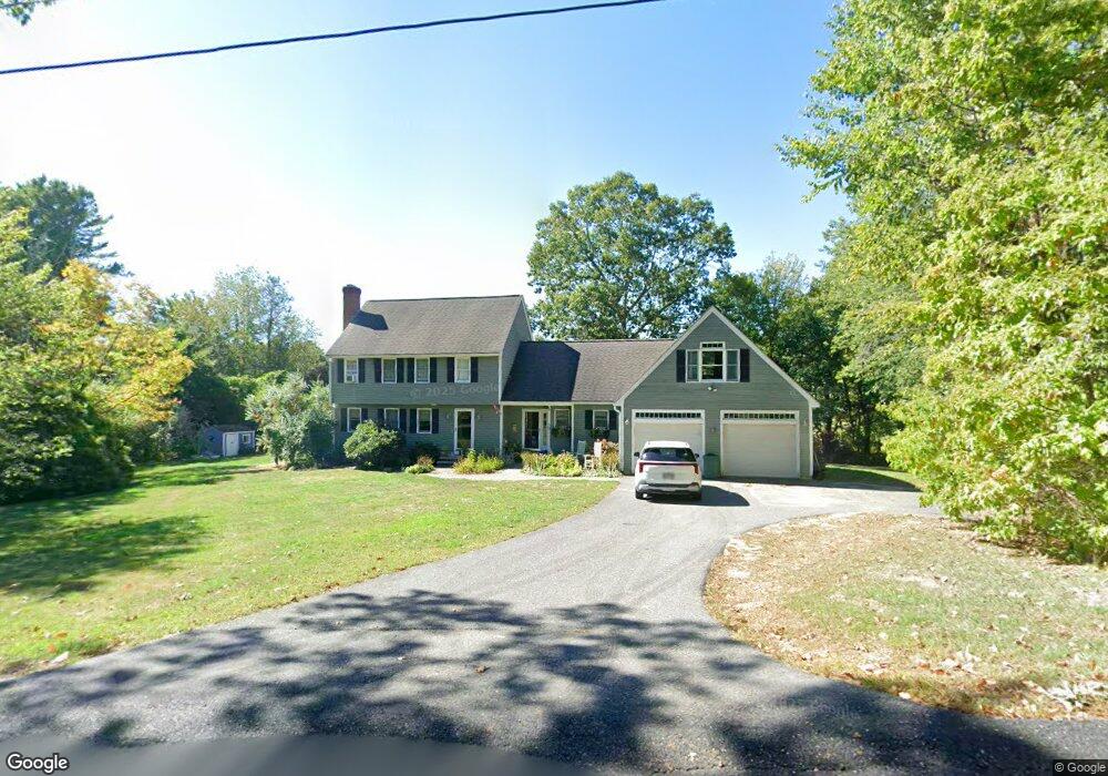
59 Hunting Hill Rd Lunenburg, MA 01462
Estimated Value: $567,000 - $666,000
3
Beds
2
Baths
2,273
Sq Ft
$266/Sq Ft
Est. Value
About This Home
This home is located at 59 Hunting Hill Rd, Lunenburg, MA 01462 and is currently estimated at $605,697, approximately $266 per square foot. 59 Hunting Hill Rd is a home located in Worcester County with nearby schools including Lunenburg Primary School and Lunenburg High School.
Ownership History
Date
Name
Owned For
Owner Type
Purchase Details
Closed on
Nov 15, 2021
Sold by
Nichols Curtis R and Nichols Elizabeth A
Bought by
Letarte Jarrod M and Letarte Lauren R
Current Estimated Value
Home Financials for this Owner
Home Financials are based on the most recent Mortgage that was taken out on this home.
Original Mortgage
$295,000
Outstanding Balance
$270,392
Interest Rate
3.01%
Mortgage Type
Purchase Money Mortgage
Estimated Equity
$335,305
Purchase Details
Closed on
Mar 26, 1993
Sold by
Cy Realty Corp
Bought by
Nichls Cutis R and Nichols Elizabeth
Create a Home Valuation Report for This Property
The Home Valuation Report is an in-depth analysis detailing your home's value as well as a comparison with similar homes in the area
Home Values in the Area
Average Home Value in this Area
Purchase History
| Date | Buyer | Sale Price | Title Company |
|---|---|---|---|
| Letarte Jarrod M | $385,000 | None Available | |
| Nichls Cutis R | $129,900 | -- |
Source: Public Records
Mortgage History
| Date | Status | Borrower | Loan Amount |
|---|---|---|---|
| Open | Letarte Jarrod M | $295,000 | |
| Previous Owner | Nichls Cutis R | $115,000 | |
| Previous Owner | Nichls Cutis R | $100,000 | |
| Previous Owner | Nichls Cutis R | $131,000 |
Source: Public Records
Tax History Compared to Growth
Tax History
| Year | Tax Paid | Tax Assessment Tax Assessment Total Assessment is a certain percentage of the fair market value that is determined by local assessors to be the total taxable value of land and additions on the property. | Land | Improvement |
|---|---|---|---|---|
| 2025 | $7,212 | $502,200 | $143,000 | $359,200 |
| 2024 | $6,593 | $467,600 | $135,000 | $332,600 |
| 2023 | $6,746 | $461,400 | $122,600 | $338,800 |
| 2022 | $6,135 | $356,900 | $102,300 | $254,600 |
| 2020 | $5,869 | $323,900 | $101,900 | $222,000 |
| 2019 | $5,641 | $302,000 | $96,000 | $206,000 |
| 2018 | $5,819 | $295,400 | $96,000 | $199,400 |
| 2017 | $5,682 | $284,400 | $91,500 | $192,900 |
| 2016 | $5,157 | $263,000 | $87,000 | $176,000 |
| 2015 | $4,688 | $255,900 | $82,600 | $173,300 |
Source: Public Records
Map
Nearby Homes
- 1790 Massachusetts Ave Unit 25
- 1790 Mass Ave Unit 3
- 1790 Massachusetts Ave Unit 22
- 166 Elmwood Rd
- 22 Townsend Rd
- 111 Squannacook Rd
- Lot 10 Christian Cir
- 59 Squannacook Rd
- 43 Longley Rd
- 49 Parker Rd
- 346 Townsend Rd
- 354 Townsend Rd
- 167 S Row Rd
- 55 Beachview Rd
- 601 Flat Hill Rd
- 7 Hickory Ln
- 37 Pepperell Rd
- 110 Burrage St
- 55 W Main St
- 65 W Main St
- 61 Hunting Hill Rd
- 523 Mulpus Rd
- 539 Mulpus Rd
- 63 Hunting Hill Rd
- 52 Hunting Hill Rd
- 68 Hunting Hill Rd
- 542 Mulpus Rd
- 54 Hunting Hill Rd
- 69 Hunting Hill Rd
- 70 Hunting Hill Rd
- 520 Mulpus Rd
- 571 Mulpus Rd
- 71 Hunting Hill Rd
- 490 Mulpus Rd
- 465 Mulpus Rd
- 74 Hunting Hill Rd
- 74 Hunting Hill Rd Unit 1
- 74 Hunting Hill Rd Unit 74
- 89 Hunting Hill Rd
- 78 Hunting Hill Rd