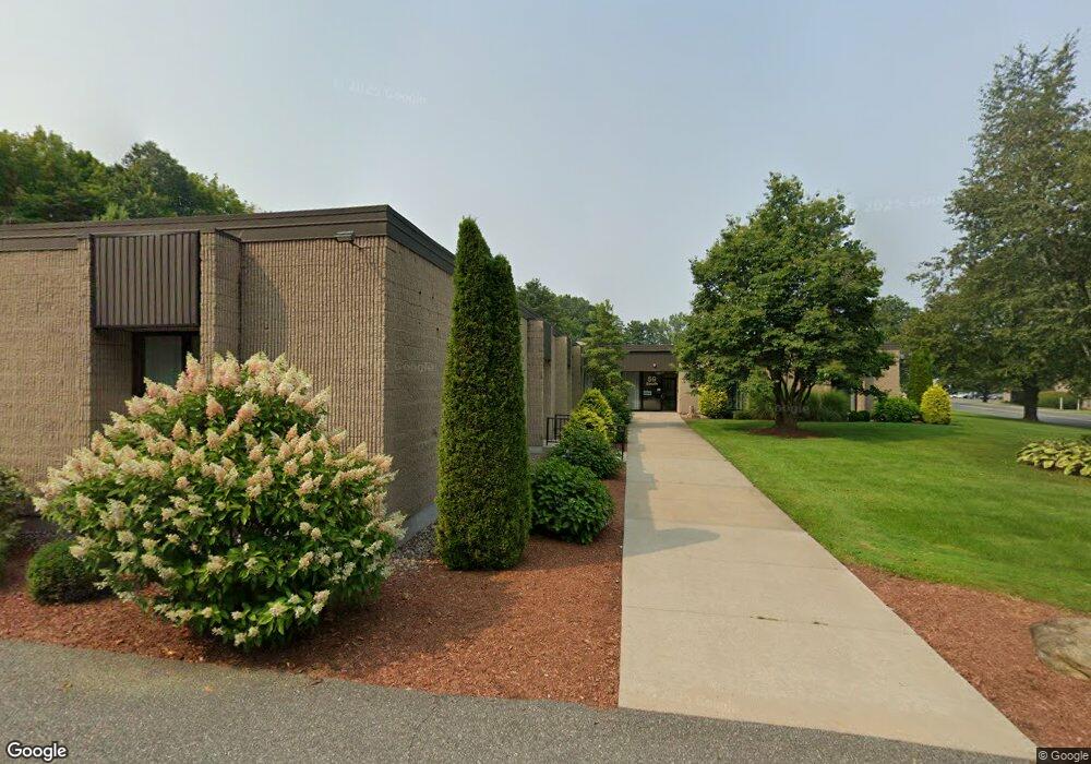
59 Interstate Dr West Springfield, MA 01089
Estimated Value: $4,062,702
Studio
1
Bath
22,800
Sq Ft
$178/Sq Ft
Est. Value
About This Home
This home is located at 59 Interstate Dr, West Springfield, MA 01089 and is currently estimated at $4,062,702, approximately $178 per square foot. 59 Interstate Dr is a home located in Hampden County with nearby schools including West Springfield High School, Holyoke Community Charter School, and Blessed Sacrament School.
Ownership History
Date
Name
Owned For
Owner Type
Purchase Details
Closed on
Jun 30, 2015
Sold by
59 Interstate Drive Ll
Bought by
73 State Street Llc
Current Estimated Value
Purchase Details
Closed on
Aug 20, 2003
Sold by
Reblog Llc
Bought by
59 Interstate Drive Ll
Purchase Details
Closed on
Aug 12, 2003
Sold by
Ybkg Limited Partnersh
Bought by
Reblog Llc
Create a Home Valuation Report for This Property
The Home Valuation Report is an in-depth analysis detailing your home's value as well as a comparison with similar homes in the area
Home Values in the Area
Average Home Value in this Area
Purchase History
| Date | Buyer | Sale Price | Title Company |
|---|---|---|---|
| 73 State Street Llc | $2,100,000 | -- | |
| 59 Interstate Drive Ll | $1,455,000 | -- | |
| Reblog Llc | -- | -- |
Source: Public Records
Tax History
| Year | Tax Paid | Tax Assessment Tax Assessment Total Assessment is a certain percentage of the fair market value that is determined by local assessors to be the total taxable value of land and additions on the property. | Land | Improvement |
|---|---|---|---|---|
| 2025 | $74,640 | $2,465,000 | $299,000 | $2,166,000 |
| 2024 | $74,154 | $2,488,400 | $299,000 | $2,189,400 |
| 2023 | $69,615 | $2,276,500 | $299,000 | $1,977,500 |
| 2022 | $69,366 | $2,243,400 | $272,600 | $1,970,800 |
| 2021 | $69,280 | $2,133,000 | $259,800 | $1,873,200 |
| 2020 | $69,642 | $2,133,000 | $259,800 | $1,873,200 |
| 2019 | $69,429 | $2,133,000 | $259,800 | $1,873,200 |
| 2018 | $70,176 | $2,133,000 | $259,800 | $1,873,200 |
| 2017 | $70,688 | $2,133,000 | $259,800 | $1,873,200 |
| 2016 | $45,016 | $1,355,500 | $250,500 | $1,105,000 |
| 2015 | $44,156 | $1,330,400 | $245,500 | $1,084,900 |
| 2014 | $42,559 | $1,330,400 | $245,500 | $1,084,900 |
Source: Public Records
Map
Nearby Homes
- 361 Prospect Ave
- 11 Annie's Way
- 89-111 Whitney Ave
- 48 Mountain Ave
- 287 Whitney Ave
- 80 Brush Hill Ave Unit 61
- 60 Lower Westfield Rd
- 86 Beaumont Ave
- 87 Blanchwood Ave
- 51 Beaumont Ave
- 156 Canterbury Way
- 439 Oldfield Rd
- 76 Joy St
- 269 Chicopee St Unit 6
- 26 Dayton St
- 791 Morgan Rd
- 655 Morgan Rd
- 17 Vincent Dr
- 87 Clarendon Ave
- 26 Whitin Ave
- LOT 4 Appaloosa Ln
- L C1 Frederick St
- LOT 9 Prospect Ave
- LOT20 Beauregard
- LT39 Christine
- LOT17 Cedar Woods Glen
- LOT 2 Carriage Ln
- LOT 12 Pheasants Crossing
- LOT 9 Bluebird Ln
- L 19A Cayenne St
- 523 Prospect Ave
- 511 Prospect Ave
- 503 Prospect Ave
- 537 Prospect Ave
- 495 Prospect Ave
- 551 Prospect Ave
- 487 Prospect Ave
- 899 Birnie Ave
- 894 Birnie Ave
- 475 Prospect Ave
Your Personal Tour Guide
Ask me questions while you tour the home.