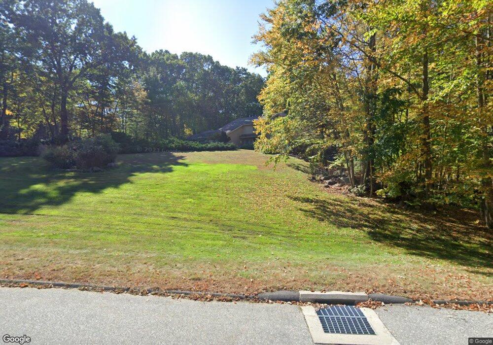
59 Kate Ln Tolland, CT 06084
Estimated Value: $467,000 - $601,903
3
Beds
4
Baths
2,844
Sq Ft
$195/Sq Ft
Est. Value
About This Home
This home is located at 59 Kate Ln, Tolland, CT 06084 and is currently estimated at $554,476, approximately $194 per square foot. 59 Kate Ln is a home located in Tolland County with nearby schools including Birch Grove Primary School, Tolland Intermediate School, and Tolland Middle School.
Create a Home Valuation Report for This Property
The Home Valuation Report is an in-depth analysis detailing your home's value as well as a comparison with similar homes in the area
Home Values in the Area
Average Home Value in this Area
Tax History Compared to Growth
Tax History
| Year | Tax Paid | Tax Assessment Tax Assessment Total Assessment is a certain percentage of the fair market value that is determined by local assessors to be the total taxable value of land and additions on the property. | Land | Improvement |
|---|---|---|---|---|
| 2025 | $9,604 | $353,200 | $81,000 | $272,200 |
| 2024 | $9,884 | $261,700 | $81,300 | $180,400 |
| 2023 | $9,769 | $261,700 | $81,300 | $180,400 |
| 2022 | $9,573 | $261,700 | $81,300 | $180,400 |
| 2021 | $9,712 | $261,700 | $81,300 | $180,400 |
| 2020 | $9,434 | $261,700 | $81,300 | $180,400 |
| 2019 | $10,199 | $282,900 | $83,700 | $199,200 |
| 2018 | $9,902 | $282,900 | $83,700 | $199,200 |
| 2017 | $9,672 | $282,900 | $83,700 | $199,200 |
| 2016 | $9,672 | $282,900 | $83,700 | $199,200 |
| 2015 | $9,438 | $282,900 | $83,700 | $199,200 |
| 2014 | $8,800 | $283,400 | $92,400 | $191,000 |
Source: Public Records
Map
Nearby Homes
- 88 Anthony Rd
- 10 Summit Dr
- 19 Thomas Dr
- 454 Merrow Rd
- 527 Merrow Rd
- 312 Merrow Rd
- 284 Merrow Rd
- 248 Merrow Rd
- 12 Stone Pond Rd
- 18 Stone Pond Rd
- 10 Depot Rd Unit 25
- 226 Goose Ln
- 257 Torry Rd
- 0 Tolland Stage Rd Unit 24101836
- 0 Tolland Turnpike Unit 24107059
- 97 Cassidy Hill Rd
- 6 Timber Ln
- 25 Josephine Way
- 190 Cider Mill Rd
- 4 Elgin Dr