59 Keener Rd Rabun Gap, GA 30568
Estimated Value: $362,000 - $855,000
2
Beds
2
Baths
1,152
Sq Ft
$474/Sq Ft
Est. Value
About This Home
This home is located at 59 Keener Rd, Rabun Gap, GA 30568 and is currently estimated at $545,981, approximately $473 per square foot. 59 Keener Rd is a home located in Rabun County with nearby schools including Rabun County Primary School, Rabun County High School, and Rabun Gap Nacoochee School.
Ownership History
Date
Name
Owned For
Owner Type
Purchase Details
Closed on
Jul 27, 2017
Sold by
Keener Stephen Harold
Bought by
Belk Sherri Lisa
Current Estimated Value
Home Financials for this Owner
Home Financials are based on the most recent Mortgage that was taken out on this home.
Original Mortgage
$173,375
Outstanding Balance
$143,304
Interest Rate
3.88%
Mortgage Type
New Conventional
Estimated Equity
$402,677
Purchase Details
Closed on
Jan 1, 1978
Create a Home Valuation Report for This Property
The Home Valuation Report is an in-depth analysis detailing your home's value as well as a comparison with similar homes in the area
Home Values in the Area
Average Home Value in this Area
Purchase History
| Date | Buyer | Sale Price | Title Company |
|---|---|---|---|
| Belk Sherri Lisa | $182,500 | -- | |
| Belk Sherri Lisa | $182,500 | -- | |
| -- | -- | -- |
Source: Public Records
Mortgage History
| Date | Status | Borrower | Loan Amount |
|---|---|---|---|
| Open | Belk Sherri Lisa | $173,375 | |
| Closed | Belk Sherri Lisa | $173,375 |
Source: Public Records
Tax History Compared to Growth
Tax History
| Year | Tax Paid | Tax Assessment Tax Assessment Total Assessment is a certain percentage of the fair market value that is determined by local assessors to be the total taxable value of land and additions on the property. | Land | Improvement |
|---|---|---|---|---|
| 2025 | $1,889 | $119,976 | $24,786 | $95,190 |
| 2024 | $1,777 | $112,706 | $24,786 | $87,920 |
| 2023 | $1,786 | $99,554 | $23,328 | $76,226 |
| 2022 | $1,431 | $80,182 | $21,870 | $58,312 |
| 2021 | $1,326 | $72,716 | $20,412 | $52,304 |
| 2020 | $1,362 | $70,207 | $20,412 | $49,795 |
| 2019 | $1,371 | $70,207 | $20,412 | $49,795 |
| 2018 | $1,376 | $70,207 | $20,412 | $49,795 |
| 2017 | $616 | $45,897 | $12,674 | $33,223 |
| 2016 | $736 | $41,036 | $12,674 | $28,362 |
| 2015 | $660 | $36,270 | $12,674 | $23,596 |
| 2014 | $664 | $36,272 | $12,676 | $23,596 |
Source: Public Records
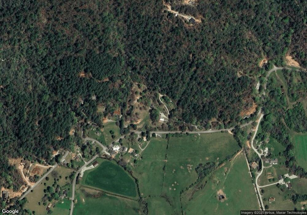
Map
Nearby Homes
- 230 Majors Ln
- 0 Allen Cove Rd Unit 10586573
- 5019 Wolffork Rd
- 784 Wolffork Church Rd
- 5192 Wolffork Rd
- 786 Hope Haven Ln
- 373 Western Way
- 0 Sylvan Lake Dr Unit 47,48 10485897
- 0 Pitts Way Unit 10592369
- 1422 Wolffork Rd
- 243 Degroff Ln
- 0 Crest Ln Unit LOT 5 10572844
- 0 Alto Ln Unit 10533235
- 0 Bob Hoover Trail Unit LOT 78
- 153 Coleman Heights Ln
- 137 Olds Mountain Peak Rd
- 460 Anderson Dr
- 2594 Blue Ridge Gap Rd
- LOT 40 Anderson Dr
- 0 Yellow Trillium Unit LOT 13 10580243
- 28 Keener Rd
- 4504 Wolffork Rd
- 4 Keener Rd
- 136 Keener Rd
- 4434 Wolffork Rd
- 750 Keener Rd
- 0 Keener Rd Unit 2937201
- 164 Water Wheel Ln
- 28 Water Wheel Ln
- 0 Blue Ridge Gap Rd Unit 10308628
- 0 Blue Ridge Gap Rd Unit 7282223
- 0 Blue Ridge Gap Rd Unit 9021731
- 15 Blue Ridge Gap Rd
- 4346 Wolffork Rd
- 93 Water Wheel Ln
- 4741 Wolffork Rd
- 20 Dickerson Ln
- 4363 Wolffork Rd
- 4761 Wolffork Rd
- 4761 Wolffork Rd Unit 101/2