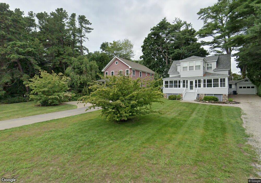
59 Ledge Rd Ogunquit, ME 03907
Ogunquit NeighborhoodEstimated Value: $1,320,393 - $1,990,000
4
Beds
3
Baths
2,340
Sq Ft
$695/Sq Ft
Est. Value
About This Home
This home is located at 59 Ledge Rd, Ogunquit, ME 03907 and is currently estimated at $1,626,098, approximately $694 per square foot. 59 Ledge Rd is a home located in York County with nearby schools including Wells Junior High School, Wells Elementary School, and Wells High School.
Ownership History
Date
Name
Owned For
Owner Type
Purchase Details
Closed on
Nov 20, 2012
Sold by
Cibulas Janet R and Cibulas Erwin S
Bought by
Lovett Jennifer O and Lovett Charles J
Current Estimated Value
Home Financials for this Owner
Home Financials are based on the most recent Mortgage that was taken out on this home.
Original Mortgage
$304,000
Outstanding Balance
$210,070
Interest Rate
3.39%
Mortgage Type
New Conventional
Estimated Equity
$1,416,028
Create a Home Valuation Report for This Property
The Home Valuation Report is an in-depth analysis detailing your home's value as well as a comparison with similar homes in the area
Home Values in the Area
Average Home Value in this Area
Purchase History
| Date | Buyer | Sale Price | Title Company |
|---|---|---|---|
| Lovett Jennifer O | -- | -- |
Source: Public Records
Mortgage History
| Date | Status | Borrower | Loan Amount |
|---|---|---|---|
| Open | Lovett Jennifer O | $304,000 |
Source: Public Records
Tax History
| Year | Tax Paid | Tax Assessment Tax Assessment Total Assessment is a certain percentage of the fair market value that is determined by local assessors to be the total taxable value of land and additions on the property. | Land | Improvement |
|---|---|---|---|---|
| 2024 | $7,517 | $1,163,600 | $797,600 | $366,000 |
| 2023 | $7,517 | $1,163,600 | $797,600 | $366,000 |
| 2022 | $7,354 | $1,163,600 | $797,600 | $366,000 |
| 2021 | $7,171 | $880,900 | $569,800 | $311,100 |
| 2020 | $7,047 | $880,900 | $569,800 | $311,100 |
| 2019 | $7,047 | $880,900 | $569,800 | $311,100 |
| 2018 | $6,968 | $880,900 | $569,800 | $311,100 |
| 2017 | $6,677 | $880,900 | $569,800 | $311,100 |
| 2016 | $5,406 | $668,200 | $356,100 | $312,100 |
| 2015 | $5,392 | $668,100 | $356,100 | $312,000 |
| 2014 | $5,184 | $668,100 | $356,100 | $312,000 |
Source: Public Records
Map
Nearby Homes
- 55 Israel Head Rd Unit 203
- 33 Rocky Ln
- 200 Shore Rd
- 67 Cherry Ln
- 0 Cooley Ln
- 69 Cottage St
- 413 Shore Rd
- 25 Shore Rd Unit A
- 20 Shore Rd Unit 2A,B,C,D
- 113 Perkins Cove Rd
- 117 Perkins Cove Rd
- 62 Pine Hill Rd S Unit 101
- 14 Valleybrook Rd Unit 14
- 14 Maple St
- 488 Main St Unit 7
- 350 Pine Hill Rd
- 1 Ruby Rd
- 20 Zoe's Way
- 90 Bald Head Cliff Rd
- 16 Zoe's Way
- 61 Ledge Rd
- 32 Israel Head Rd
- 1 Park Ln
- 28 Israel Head Rd
- 56 Ledge Rd
- 25 Israel Head Rd Unit 19
- 18 Israel Head Rd
- 18 Israel Head Rd Unit 104
- 30 Cherry Ln
- 35 Israel Head Rd Unit G5
- 35 Israel Head Rd Unit G3
- 35 Israel Head Rd Unit C6G3
- 15 Israel Head Rd Unit 101
- 15 Israel Head Rd Unit 209
- 15 Israel Head Rd Unit c
- 55 Israel Head Rd Unit 415
- 55 Israel Head Rd Unit 414
- 55 Israel Head Rd Unit 413
- 55 Israel Head Rd Unit 412
Your Personal Tour Guide
Ask me questions while you tour the home.