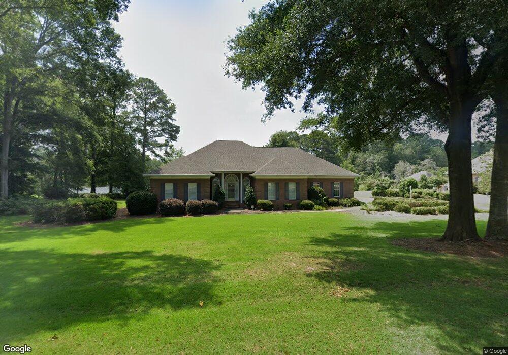
59 Lenora Dr Hawkinsville, GA 31036
Estimated Value: $342,000 - $420,960
4
Beds
2
Baths
2,396
Sq Ft
$164/Sq Ft
Est. Value
About This Home
This home is located at 59 Lenora Dr, Hawkinsville, GA 31036 and is currently estimated at $392,490, approximately $163 per square foot. 59 Lenora Dr is a home located in Pulaski County with nearby schools including Pulaski County Elementary School, Pulaski County Middle School, and Hawkinsville High School.
Ownership History
Date
Name
Owned For
Owner Type
Purchase Details
Closed on
Nov 7, 2024
Sold by
Simmons Doris P
Bought by
Larkin Bryce and Larkin Cindy
Current Estimated Value
Home Financials for this Owner
Home Financials are based on the most recent Mortgage that was taken out on this home.
Original Mortgage
$163,300
Outstanding Balance
$161,735
Interest Rate
6.32%
Mortgage Type
New Conventional
Estimated Equity
$230,755
Purchase Details
Closed on
Jan 10, 2006
Sold by
Simmons John T
Bought by
Simmons Doris P
Purchase Details
Closed on
Aug 19, 1994
Bought by
Simmons John T
Create a Home Valuation Report for This Property
The Home Valuation Report is an in-depth analysis detailing your home's value as well as a comparison with similar homes in the area
Home Values in the Area
Average Home Value in this Area
Purchase History
| Date | Buyer | Sale Price | Title Company |
|---|---|---|---|
| Larkin Bryce | $410,000 | -- | |
| Simmons Doris P | -- | -- | |
| Simmons John T | $9,000 | -- |
Source: Public Records
Mortgage History
| Date | Status | Borrower | Loan Amount |
|---|---|---|---|
| Open | Larkin Bryce | $163,300 |
Source: Public Records
Tax History Compared to Growth
Tax History
| Year | Tax Paid | Tax Assessment Tax Assessment Total Assessment is a certain percentage of the fair market value that is determined by local assessors to be the total taxable value of land and additions on the property. | Land | Improvement |
|---|---|---|---|---|
| 2024 | $3,325 | $148,936 | $9,300 | $139,636 |
| 2023 | $3,325 | $100,256 | $6,050 | $94,206 |
| 2022 | $2,671 | $100,256 | $6,050 | $94,206 |
| 2021 | $2,677 | $100,256 | $6,050 | $94,206 |
| 2020 | $2,686 | $100,256 | $6,050 | $94,206 |
| 2019 | $2,683 | $100,256 | $6,050 | $94,206 |
| 2018 | $2,884 | $100,256 | $6,050 | $94,206 |
| 2017 | $2,884 | $100,256 | $6,050 | $94,206 |
| 2016 | $2,684 | $100,256 | $6,050 | $94,206 |
| 2015 | -- | $100,256 | $6,050 | $94,206 |
| 2014 | -- | $100,256 | $6,050 | $94,206 |
| 2013 | -- | $100,255 | $6,050 | $94,205 |
Source: Public Records
Map
Nearby Homes
- 32 APTS 601-605 Ashford Way
- 6.44 Acres Hwy 26
- 0 Miramar Dr Unit LotWP001 23115942
- 0 Miramar Dr Unit 10493618
- 305 Broad St
- 29 Pine Level Dr Unit 18
- Vacant Lot 1st Ave
- 89 Jordan Dr
- 89 Jordan Dr Unit 539
- 0 1st Ave
- 2 Lee St
- 1 Lee St
- 14 Browncroft St
- 7 Cole Dr
- 0 Craftway Dr Unit 253517
- 29 Daniel St
- 0 Margaret Ln Unit 250786
- 262 Vienna Hwy
- 65 Craftway Dr
- 91 Cole Dr
- 55 Lenora Dr
- 69 Lenora Dr
- 45 Lenora Dr
- 0 Lot 7 Fechtman Rd Unit 20063623
- 0 Lot 7 Fechtman Rd Unit 224863
- 5 Boxwood St
- Lot 46 Maple St
- 19 Maple St
- 78 Lenora Dr
- 122 Lenora Dr
- 15 Boxwood St
- 33 Lenora Dr
- 24 Boxwood St
- 20 Boxwood St
- 52 Thompson Dr Unit 785
- 19 Boxwood St
- 0 Boxwood St Unit Lot 38 8792863
- 0 Boxwood St Unit Lot 37 8792859
- 0 Boxwood St Unit Lot 36 8792856
- Lot 37 Boxwood St