59 Lewis Cove Rd Whittier, NC 28789
Estimated Value: $353,000 - $906,927
5
Beds
2
Baths
3,168
Sq Ft
$215/Sq Ft
Est. Value
About This Home
This home is located at 59 Lewis Cove Rd, Whittier, NC 28789 and is currently estimated at $679,732, approximately $214 per square foot. 59 Lewis Cove Rd is a home with nearby schools including Smokey Mountain Elementary School and Smoky Mountain High School.
Ownership History
Date
Name
Owned For
Owner Type
Purchase Details
Closed on
May 24, 2012
Sold by
Peacock June S
Bought by
Cove Skinner Spring
Current Estimated Value
Purchase Details
Closed on
May 15, 2012
Sold by
Peacock Junes S
Bought by
Cowperthwaite Ann P and Cowperthwaite Robert W
Purchase Details
Closed on
Nov 29, 2011
Sold by
Peacock June S
Bought by
Waite Ann P Cowpeth and Waite Robert W Cowperth
Purchase Details
Closed on
Apr 23, 2010
Sold by
Peacock June S
Bought by
Cowperthwaite Ann P and Cowperthwaite Robert W
Create a Home Valuation Report for This Property
The Home Valuation Report is an in-depth analysis detailing your home's value as well as a comparison with similar homes in the area
Home Values in the Area
Average Home Value in this Area
Purchase History
| Date | Buyer | Sale Price | Title Company |
|---|---|---|---|
| Cove Skinner Spring | -- | None Available | |
| Cowperthwaite Ann P | -- | None Available | |
| Waite Ann P Cowpeth | -- | None Available | |
| Cowperthwaite Ann P | -- | -- |
Source: Public Records
Tax History Compared to Growth
Tax History
| Year | Tax Paid | Tax Assessment Tax Assessment Total Assessment is a certain percentage of the fair market value that is determined by local assessors to be the total taxable value of land and additions on the property. | Land | Improvement |
|---|---|---|---|---|
| 2025 | $3,439 | $904,990 | $126,150 | $778,840 |
| 2024 | $2,295 | $603,900 | $140,050 | $463,850 |
| 2023 | $2,580 | $603,900 | $140,050 | $463,850 |
| 2022 | $2,580 | $603,900 | $140,050 | $463,850 |
| 2021 | $2,295 | $603,900 | $140,050 | $463,850 |
| 2020 | $2,009 | $473,770 | $112,990 | $360,780 |
| 2019 | $2,009 | $473,770 | $112,990 | $360,780 |
| 2018 | $2,009 | $473,770 | $112,990 | $360,780 |
| 2017 | $1,962 | $473,770 | $112,990 | $360,780 |
| 2015 | $1,896 | $442,340 | $112,990 | $329,350 |
| 2011 | -- | $432,220 | $148,540 | $283,680 |
Source: Public Records
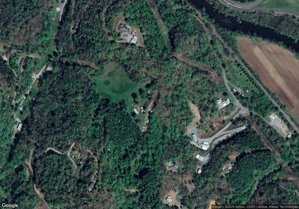
Map
Nearby Homes
- 219 Sandalwood Dr
- 627 Worley Farm Rd
- 130 Hope Terrace Rd
- LT 18 Mountaineer Rd
- 66 Coopers Farm Rd
- Lot 84 Black Rock Creek
- 1044 Bumgarner Cemetery Rd
- 245 Bear Paw Ridge
- 0 Treyburn Oaks Dr Unit 26040277
- 0 Treyburn Oaks Dr
- 15 Tika Dr
- 214 Whittier Heights Rd
- 0 Sunset Ridge
- 58 Turnip Trail
- Lot 22 Eagle Ridge Cir
- 120 White Oak Point
- 120 White Oak Pointe
- 175 Eagle Ridge Cir
- 1409 Us 441 Hwy
- 1409 U S 441
- 503 Stekoih Hills Dr
- 0 Cabin Crossing
- 3805 Thomas Valley Rd
- 57 Lewis Cove Rd
- 320 Stekoih Hills Dr
- 393 Stekoih Hills Dr
- 3862 Thomas Valley Rd
- 102 Stekoih Hills Dr
- 253 Lewis Cove Rd
- 26 & 27 Thrasher Ln
- 0 Sandalwood Unit NCM547152
- 28 Swallowtail
- 28 Swallowtail Unit 18
- 317 Lewis Cove Rd
- 307 Lewis Cove Rd
- 338 Lewis Cove Rd
- 21 Stekoih Hills Dr
- 24 Stekoih Hills Dr
- 23 Stekoih Hills Dr
- Lot 23 & 24 Stekoih Hills Dr Unit 23 & 24