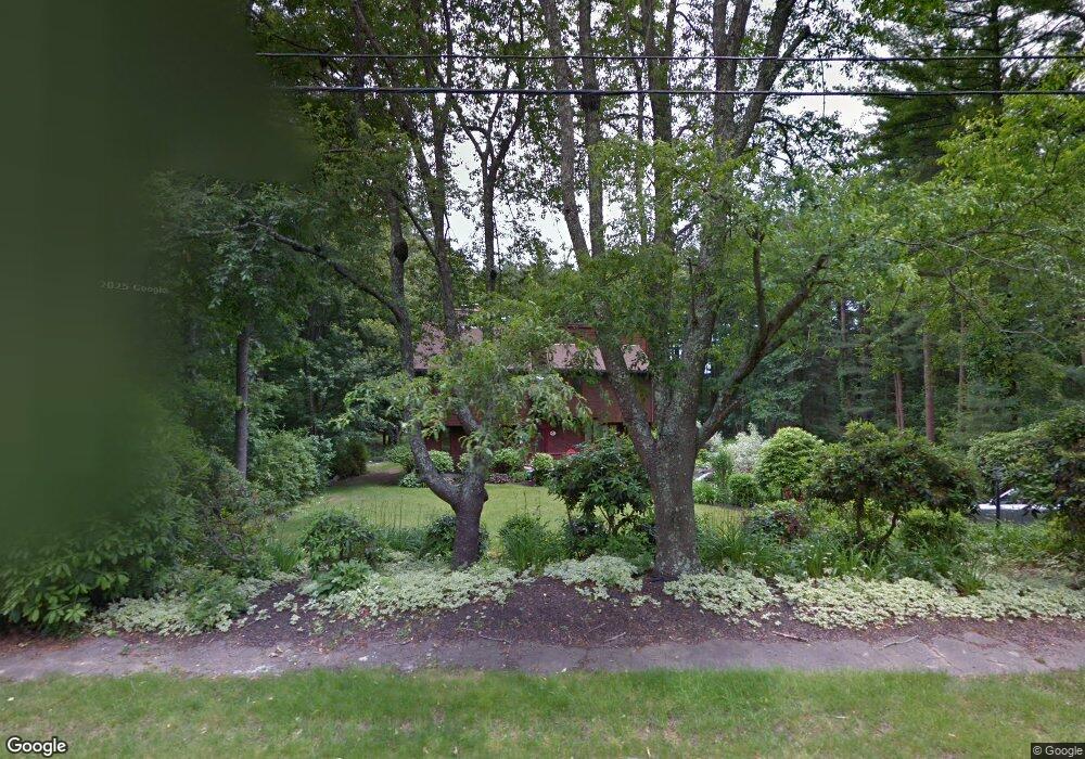
59 Lowell Rd Pembroke, MA 02359
Estimated Value: $805,428 - $1,108,000
5
Beds
3
Baths
2,612
Sq Ft
$353/Sq Ft
Est. Value
About This Home
This home is located at 59 Lowell Rd, Pembroke, MA 02359 and is currently estimated at $922,107, approximately $353 per square foot. 59 Lowell Rd is a home located in Plymouth County with nearby schools including Pembroke High School, Cadence Academy Preschool - Hanover, and Cardinal Cushing Centers.
Ownership History
Date
Name
Owned For
Owner Type
Purchase Details
Closed on
May 26, 2011
Sold by
Trbulsie James F and Trabulsie Corinne
Bought by
Binette Jeffrey A and Binette Joanna M
Current Estimated Value
Home Financials for this Owner
Home Financials are based on the most recent Mortgage that was taken out on this home.
Original Mortgage
$364,000
Outstanding Balance
$253,661
Interest Rate
4.94%
Mortgage Type
Purchase Money Mortgage
Estimated Equity
$668,446
Create a Home Valuation Report for This Property
The Home Valuation Report is an in-depth analysis detailing your home's value as well as a comparison with similar homes in the area
Home Values in the Area
Average Home Value in this Area
Purchase History
| Date | Buyer | Sale Price | Title Company |
|---|---|---|---|
| Binette Jeffrey A | $455,000 | -- |
Source: Public Records
Mortgage History
| Date | Status | Borrower | Loan Amount |
|---|---|---|---|
| Open | Binette Jeffrey A | $364,000 |
Source: Public Records
Tax History Compared to Growth
Tax History
| Year | Tax Paid | Tax Assessment Tax Assessment Total Assessment is a certain percentage of the fair market value that is determined by local assessors to be the total taxable value of land and additions on the property. | Land | Improvement |
|---|---|---|---|---|
| 2025 | $7,817 | $650,300 | $328,500 | $321,800 |
| 2024 | $7,749 | $644,100 | $323,300 | $320,800 |
| 2023 | $7,614 | $598,600 | $298,500 | $300,100 |
| 2022 | $6,742 | $476,500 | $237,700 | $238,800 |
| 2021 | $6,608 | $453,200 | $232,500 | $220,700 |
| 2020 | $6,586 | $454,500 | $232,500 | $222,000 |
| 2019 | $6,446 | $441,500 | $222,300 | $219,200 |
| 2018 | $6,298 | $423,000 | $222,300 | $200,700 |
| 2017 | $6,221 | $412,000 | $207,500 | $204,500 |
| 2016 | $6,150 | $403,000 | $197,500 | $205,500 |
| 2015 | $5,816 | $394,600 | $187,500 | $207,100 |
Source: Public Records
Map
Nearby Homes
- 136 W Elm St
- 285 W Elm St
- 7 Farmside Dr
- 18 Wampatuck St
- 15 Elm Place
- 10 Warren Terrace
- 114 Graham Hill Dr
- 180 Elm St
- 186 Elm St
- 53 Grove St
- Lot 22 Adams Cir
- 269 Lakeside Rd
- 8 Pinehurst Ave
- 204 Center St Unit 9
- 22 Pondview Ave
- 23 Pondview Ave
- 456 Gorwin Dr
- 29 Liberty Dr Unit 29
- 842 E Washington St
- 33 Barker Square Dr Unit 33