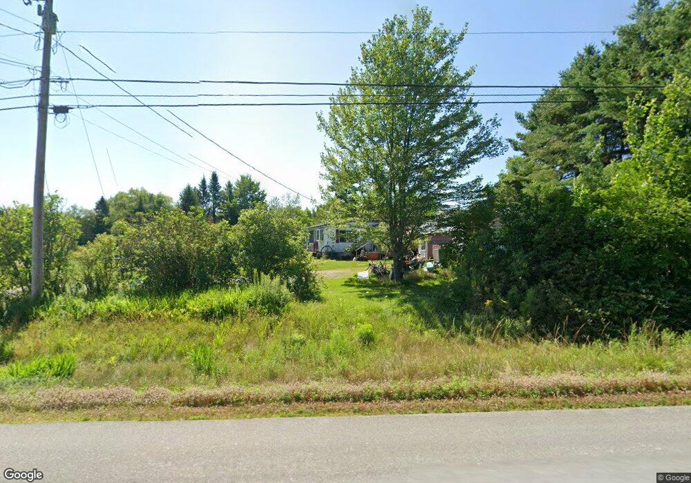
59 Main St Palmyra, ME 04965
Estimated Value: $119,000 - $256,000
2
Beds
1
Bath
960
Sq Ft
$191/Sq Ft
Est. Value
About This Home
This home is located at 59 Main St, Palmyra, ME 04965 and is currently estimated at $183,265, approximately $190 per square foot. 59 Main St is a home located in Somerset County with nearby schools including Hartland Consolidated School, Somerset Elementary School, and Nokomis Regional Middle School/High School.
Ownership History
Date
Name
Owned For
Owner Type
Purchase Details
Closed on
May 25, 2023
Sold by
Woodard Patricia Est
Bought by
Ferrio Jeannine A
Current Estimated Value
Purchase Details
Closed on
Mar 26, 2009
Sold by
Bank Of America Na
Bought by
Woodard Peter and Woodard Patricia A
Purchase Details
Closed on
Dec 17, 2008
Sold by
Buck Rosemarie and Lasalle Bank Na
Bought by
Mlmi T and Lasalle Bank Na
Purchase Details
Closed on
Mar 30, 2006
Sold by
Buck Rosemarie
Bought by
Buck Rosemarie and Buck Christopher D
Home Financials for this Owner
Home Financials are based on the most recent Mortgage that was taken out on this home.
Original Mortgage
$104,000
Interest Rate
6.32%
Mortgage Type
Purchase Money Mortgage
Create a Home Valuation Report for This Property
The Home Valuation Report is an in-depth analysis detailing your home's value as well as a comparison with similar homes in the area
Home Values in the Area
Average Home Value in this Area
Purchase History
| Date | Buyer | Sale Price | Title Company |
|---|---|---|---|
| Ferrio Jeannine A | -- | None Available | |
| Woodard Peter | $43,000 | -- | |
| Mlmi T | -- | -- | |
| Buck Rosemarie | -- | -- |
Source: Public Records
Mortgage History
| Date | Status | Borrower | Loan Amount |
|---|---|---|---|
| Previous Owner | Buck Rosemarie | $104,000 |
Source: Public Records
Tax History Compared to Growth
Tax History
| Year | Tax Paid | Tax Assessment Tax Assessment Total Assessment is a certain percentage of the fair market value that is determined by local assessors to be the total taxable value of land and additions on the property. | Land | Improvement |
|---|---|---|---|---|
| 2025 | $1,338 | $135,110 | $34,320 | $100,790 |
| 2024 | $1,238 | $112,590 | $28,600 | $83,990 |
| 2023 | $1,238 | $112,590 | $28,600 | $83,990 |
| 2022 | $1,284 | $75,500 | $20,800 | $54,700 |
| 2021 | $1,340 | $75,500 | $20,800 | $54,700 |
| 2020 | $1,359 | $75,500 | $20,800 | $54,700 |
| 2019 | $1,329 | $75,500 | $20,800 | $54,700 |
| 2018 | $1,361 | $72,600 | $17,900 | $54,700 |
| 2017 | $1,307 | $72,600 | $17,900 | $54,700 |
| 2016 | $1,260 | $71,000 | $16,300 | $54,700 |
| 2015 | $1,179 | $71,000 | $16,300 | $54,700 |
| 2012 | $1,061 | $70,700 | $16,300 | $54,400 |
Source: Public Records
Map
Nearby Homes
- 154 Main St
- M1 L36-3 Main St
- 138 Canaan Rd
- 1 Gleneagle Ct Unit 1
- 67 Tacconet Rd
- 34 Waverly Ave
- 18 Crawford Rd
- Po M7 L3-1 Wyman Rd
- 005 School St
- PO M7 L3-1 Wyman Rd
- 233 Madawaska Ave
- 61 Industrial Park St
- M10 L 7A Higgins Rd
- 124 South St
- 104 Madawaska Ave
- 0 Hartland
- 173 Somerset Ave
- 137 Washington St
- 6 New England Ave
- 133 Manson St