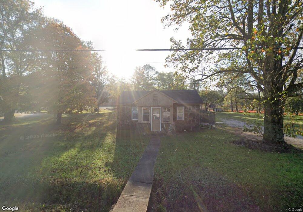
59 Main St West Fork, AR 72774
Estimated Value: $115,769 - $241,000
Studio
1
Bath
672
Sq Ft
$229/Sq Ft
Est. Value
About This Home
This home is located at 59 Main St, West Fork, AR 72774 and is currently estimated at $154,192, approximately $229 per square foot. 59 Main St is a home located in Washington County with nearby schools including West Fork Elementary School, West Fork Middle School, and West Fork High School.
Ownership History
Date
Name
Owned For
Owner Type
Purchase Details
Closed on
Nov 10, 2005
Sold by
Bonham Mary Lou and Bonham David G
Bought by
Bonham David G and Bonham Mary Lou
Current Estimated Value
Home Financials for this Owner
Home Financials are based on the most recent Mortgage that was taken out on this home.
Original Mortgage
$47,250
Outstanding Balance
$25,243
Interest Rate
5.73%
Mortgage Type
Fannie Mae Freddie Mac
Estimated Equity
$128,949
Purchase Details
Closed on
Oct 31, 2005
Sold by
Paige Mary
Bought by
Bonham David G and Bonham Mary Lou
Home Financials for this Owner
Home Financials are based on the most recent Mortgage that was taken out on this home.
Original Mortgage
$47,250
Outstanding Balance
$25,243
Interest Rate
5.73%
Mortgage Type
Fannie Mae Freddie Mac
Estimated Equity
$128,949
Purchase Details
Closed on
Apr 2, 1979
Bought by
Paige Mary
Create a Home Valuation Report for This Property
The Home Valuation Report is an in-depth analysis detailing your home's value as well as a comparison with similar homes in the area
Home Values in the Area
Average Home Value in this Area
Purchase History
| Date | Buyer | Sale Price | Title Company |
|---|---|---|---|
| Bonham David G | -- | Heritage Land Title Of Ar | |
| Bonham David G | $53,000 | Heritage Land Title Of Ar | |
| Paige Mary | -- | -- |
Source: Public Records
Mortgage History
| Date | Status | Borrower | Loan Amount |
|---|---|---|---|
| Open | Bonham David G | $47,250 |
Source: Public Records
Tax History
| Year | Tax Paid | Tax Assessment Tax Assessment Total Assessment is a certain percentage of the fair market value that is determined by local assessors to be the total taxable value of land and additions on the property. | Land | Improvement |
|---|---|---|---|---|
| 2025 | $651 | $15,930 | $7,000 | $8,930 |
| 2024 | $599 | $15,930 | $7,000 | $8,930 |
| 2023 | $553 | $15,930 | $7,000 | $8,930 |
| 2022 | $502 | $9,460 | $3,500 | $5,960 |
| 2021 | $468 | $9,460 | $3,500 | $5,960 |
| 2020 | $429 | $9,460 | $3,500 | $5,960 |
| 2019 | $390 | $7,340 | $2,850 | $4,490 |
| 2018 | $390 | $7,340 | $2,850 | $4,490 |
| 2017 | $379 | $7,340 | $2,850 | $4,490 |
| 2016 | $379 | $7,340 | $2,850 | $4,490 |
| 2015 | $379 | $7,340 | $2,850 | $4,490 |
| 2014 | $435 | $8,430 | $3,800 | $4,630 |
Source: Public Records
Map
Nearby Homes
- 67 S Red Oak Ave
- 0000 Highway 170
- 224 Maple Ave
- 185 Wheeler St
- 222 Rivendale Dr
- 0 W Smith St Unit 1334508
- 365 W Smith St
- 353 W Smith St
- 503 Clark Ave
- 327 W Smith St
- 385 W Smith St
- 338 Hidden Creek Place
- 846 James Place
- 260 Culp Trail
- 815 James Place
- 696 E Thornstone Ave
- 13582 S Highway 170
- 13653 W Mountain Rd
- TBD Butterfield Ave
Your Personal Tour Guide
Ask me questions while you tour the home.