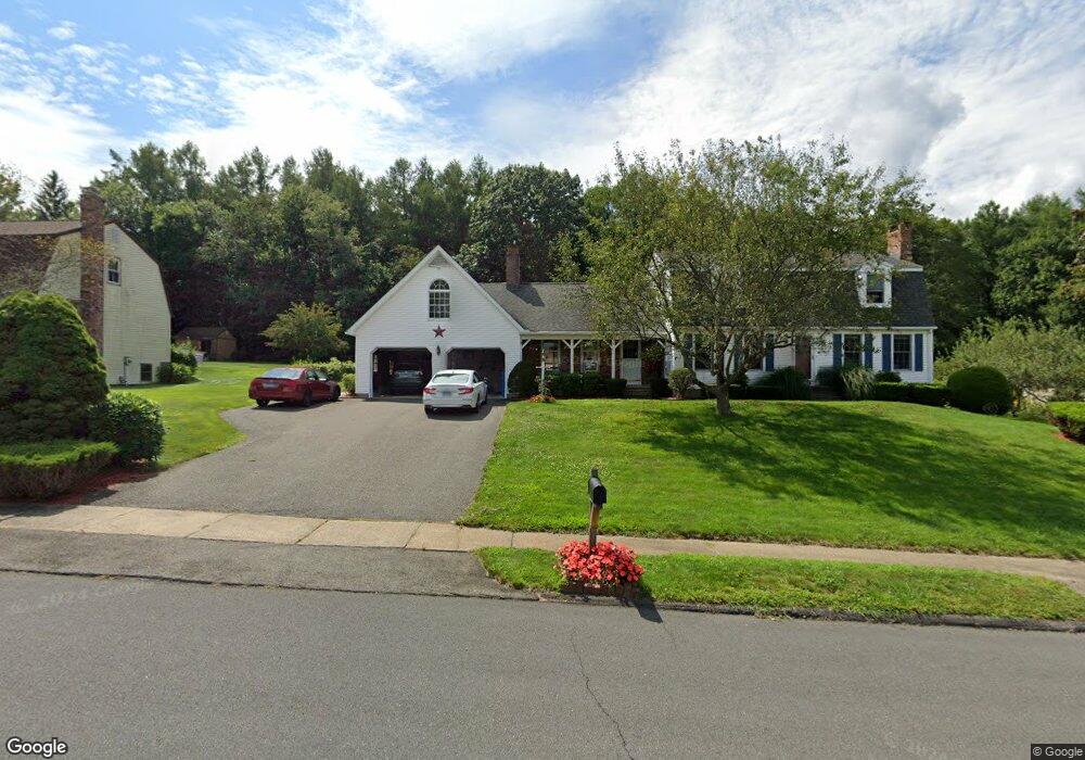
59 Mano Ln Bristol, CT 06010
North Bristol NeighborhoodEstimated Value: $513,275 - $661,000
4
Beds
3
Baths
2,456
Sq Ft
$237/Sq Ft
Est. Value
About This Home
This home is located at 59 Mano Ln, Bristol, CT 06010 and is currently estimated at $582,819, approximately $237 per square foot. 59 Mano Ln is a home located in Hartford County with nearby schools including West Bristol Sch, Bristol Central High School, and Immanuel Lutheran School.
Ownership History
Date
Name
Owned For
Owner Type
Purchase Details
Closed on
Apr 30, 1998
Sold by
Galvin Raymond C and Galvin Nancy
Bought by
Mccarthy Kevin and Mccarthy Nancy P
Current Estimated Value
Home Financials for this Owner
Home Financials are based on the most recent Mortgage that was taken out on this home.
Original Mortgage
$130,000
Interest Rate
7.04%
Mortgage Type
Unknown
Create a Home Valuation Report for This Property
The Home Valuation Report is an in-depth analysis detailing your home's value as well as a comparison with similar homes in the area
Home Values in the Area
Average Home Value in this Area
Purchase History
| Date | Buyer | Sale Price | Title Company |
|---|---|---|---|
| Mccarthy Kevin | $215,000 | -- |
Source: Public Records
Mortgage History
| Date | Status | Borrower | Loan Amount |
|---|---|---|---|
| Closed | Mccarthy Kevin | $53,355 | |
| Closed | Mccarthy Kevin | $120,000 | |
| Closed | Mccarthy Kevin | $130,000 |
Source: Public Records
Tax History Compared to Growth
Tax History
| Year | Tax Paid | Tax Assessment Tax Assessment Total Assessment is a certain percentage of the fair market value that is determined by local assessors to be the total taxable value of land and additions on the property. | Land | Improvement |
|---|---|---|---|---|
| 2025 | $9,445 | $279,860 | $56,980 | $222,880 |
| 2024 | $8,914 | $279,860 | $56,980 | $222,880 |
| 2023 | $8,315 | $273,980 | $56,980 | $217,000 |
| 2022 | $7,597 | $198,100 | $44,520 | $153,580 |
| 2021 | $7,597 | $198,100 | $44,520 | $153,580 |
| 2020 | $7,597 | $198,100 | $44,520 | $153,580 |
| 2019 | $7,538 | $198,100 | $44,520 | $153,580 |
| 2018 | $7,306 | $198,100 | $44,520 | $153,580 |
| 2017 | $7,054 | $195,790 | $60,550 | $135,240 |
| 2016 | $7,054 | $195,790 | $60,550 | $135,240 |
| 2015 | $6,776 | $195,790 | $60,550 | $135,240 |
| 2014 | $6,776 | $195,790 | $60,550 | $135,240 |
Source: Public Records
Map
Nearby Homes
- 335 Pennwood Place
- 85 Chippenwood Ln
- 160 Aldbourne Dr
- 20 Stone House Ln
- 47 Uconn Dr
- 1955 Perkins St
- 140A E Plymouth Rd
- 283 E Plymouth Rd
- 116 Old Cider Mill Rd
- 187 E Chippens Hill Rd
- 196 E Chippens Hill Rd
- 175 Southdown Dr
- 1970 Perkins St
- 35 James P Casey Rd
- 276 Hart St
- 17 Hoye St
- 62 (Lot 13-1) James P Casey Rd
- 68 Hart St
- 27 Partridge Run
- 21 Sandra Ave