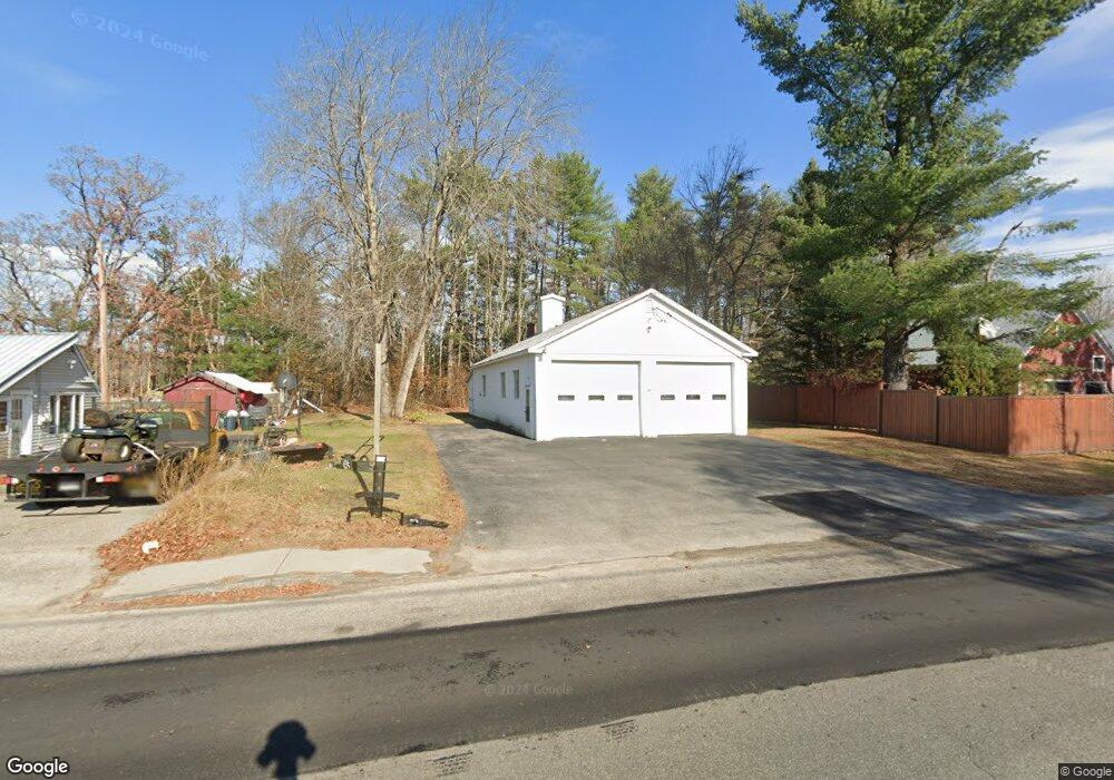
59 Maple St Cornish, ME 04020
Estimated Value: $153,959
Studio
--
Bath
2,220
Sq Ft
$69/Sq Ft
Est. Value
About This Home
This home is located at 59 Maple St, Cornish, ME 04020 and is currently estimated at $153,959, approximately $69 per square foot. 59 Maple St is a home located in York County.
Create a Home Valuation Report for This Property
The Home Valuation Report is an in-depth analysis detailing your home's value as well as a comparison with similar homes in the area
Home Values in the Area
Average Home Value in this Area
Tax History
| Year | Tax Paid | Tax Assessment Tax Assessment Total Assessment is a certain percentage of the fair market value that is determined by local assessors to be the total taxable value of land and additions on the property. | Land | Improvement |
|---|---|---|---|---|
| 2025 | $1,658 | $175,500 | $56,600 | $118,900 |
| 2024 | $1,508 | $163,900 | $45,000 | $118,900 |
| 2023 | $1,479 | $103,400 | $32,600 | $70,800 |
| 2022 | $1,427 | $103,400 | $32,600 | $70,800 |
| 2021 | $1,396 | $103,400 | $32,600 | $70,800 |
| 2020 | $1,386 | $103,400 | $32,600 | $70,800 |
| 2019 | $1,386 | $103,400 | $32,600 | $70,800 |
| 2018 | $1,396 | $103,400 | $32,600 | $70,800 |
| 2016 | $1,333 | $103,400 | $32,600 | $70,800 |
| 2015 | $1,358 | $105,300 | $32,600 | $72,700 |
| 2014 | -- | $162,900 | $32,600 | $130,300 |
Source: Public Records
Map
Nearby Homes
- 96 Maple St
- 20 Main St
- 4 Bridge St
- Lot #2 Jordan Heights Rd
- Lot #3 Jordan Heights Rd
- Lot #8 Jordan Heights Rd
- Lot #4 Jordan Heights Rd
- 490 S Hiram Rd
- 6-13 Main St
- 0 Durgintown Rd
- 992 Pequawket Trail
- 198 Senator Black Rd
- TBD Sokokis Trail N
- 174 Marston Rd
- 12 Main St
- 5 Kimball Hill Rd
- 272 Tripptown Rd
- 122 Ossipee Trail
- 8 Graffam Rd
- 761 Pendexter Rd
Your Personal Tour Guide
Ask me questions while you tour the home.