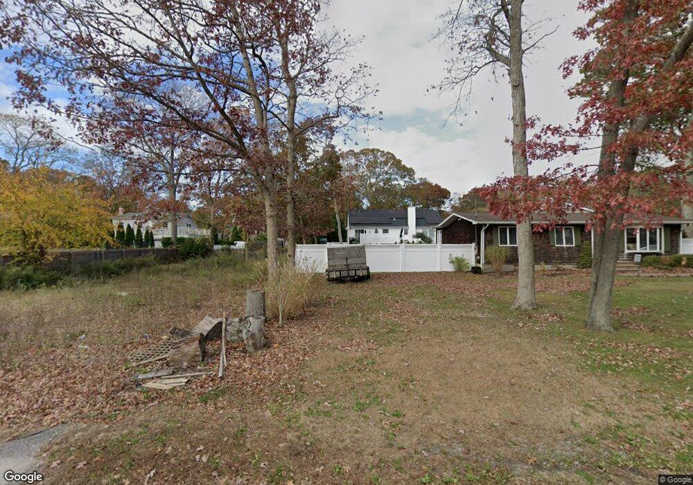
59 Mastic Blvd Mastic, NY 11950
Estimated Value: $257,000 - $786,000
3
Beds
1
Bath
1,050
Sq Ft
$491/Sq Ft
Est. Value
About This Home
This home is located at 59 Mastic Blvd, Mastic, NY 11950 and is currently estimated at $515,146, approximately $490 per square foot. 59 Mastic Blvd is a home located in Suffolk County with nearby schools including Moriches Elementary School, William Floyd Middle School, and William Floyd High School.
Ownership History
Date
Name
Owned For
Owner Type
Purchase Details
Closed on
Jan 9, 2019
Sold by
Suffolk Country Of
Bought by
Re Plaza Development Llc
Current Estimated Value
Purchase Details
Closed on
Dec 16, 2004
Sold by
Bruer Kenneth R
Bought by
Smith Alyse
Purchase Details
Closed on
Feb 6, 2004
Sold by
Malize Charles
Bought by
Solorzano Jose
Home Financials for this Owner
Home Financials are based on the most recent Mortgage that was taken out on this home.
Original Mortgage
$239,400
Interest Rate
5.65%
Mortgage Type
Purchase Money Mortgage
Create a Home Valuation Report for This Property
The Home Valuation Report is an in-depth analysis detailing your home's value as well as a comparison with similar homes in the area
Home Values in the Area
Average Home Value in this Area
Purchase History
| Date | Buyer | Sale Price | Title Company |
|---|---|---|---|
| Re Plaza Development Llc | $30,101 | -- | |
| Smith Alyse | $170,000 | Monique Genchi-Mahler | |
| Solorzano Jose | $252,000 | -- |
Source: Public Records
Mortgage History
| Date | Status | Borrower | Loan Amount |
|---|---|---|---|
| Previous Owner | Solorzano Jose | $239,400 |
Source: Public Records
Tax History
| Year | Tax Paid | Tax Assessment Tax Assessment Total Assessment is a certain percentage of the fair market value that is determined by local assessors to be the total taxable value of land and additions on the property. | Land | Improvement |
|---|---|---|---|---|
| 2024 | $307 | $80 | $80 | -- |
| 2023 | $307 | $80 | $80 | $0 |
| 2022 | $345 | $80 | $80 | $0 |
| 2021 | $345 | $80 | $80 | $0 |
| 2020 | $352 | $80 | $80 | $0 |
| 2019 | $352 | $0 | $0 | $0 |
| 2018 | $42,745 | $80 | $80 | $0 |
| 2017 | $42,745 | $2,000 | $80 | $1,920 |
| 2016 | $8,809 | $2,000 | $80 | $1,920 |
| 2015 | -- | $2,000 | $80 | $1,920 |
| 2014 | -- | $2,000 | $80 | $1,920 |
Source: Public Records
Map
Nearby Homes
- 0 Bedford Ave Unit KEYL3488158
- VL(46&47) Bedford Ave
- VL(1) Bedford Ave
- VL(2) Bedford Ave
- 66 Wood Ave
- 19 Hawthorne St
- 33 Wood Ave
- 1287 Montauk Hwy
- 1397 Montauk Hwy
- VL(36) Mastic Blvd
- VL Mastic Blvd
- 13 Gores Dr
- 8 Paul Dr
- 92 Southaven Ave
- 118 Moriches Ave
- 8 George Dr
- 25 Gores Dr
- 111 A Wood Ave
- 1467 Montauk Hwy
- 0 Carlton Ave Unit KEY853013
Your Personal Tour Guide
Ask me questions while you tour the home.