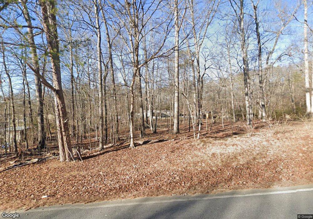
59 Mine Rd Tunnel Hill, GA 30755
Keith NeighborhoodEstimated Value: $246,770 - $419,000
--
Bed
2
Baths
1,836
Sq Ft
$169/Sq Ft
Est. Value
About This Home
This home is located at 59 Mine Rd, Tunnel Hill, GA 30755 and is currently estimated at $310,923, approximately $169 per square foot. 59 Mine Rd is a home located in Catoosa County with nearby schools including Tiger Creek Elementary School, Ringgold Middle School, and Ringgold High School.
Ownership History
Date
Name
Owned For
Owner Type
Purchase Details
Closed on
Feb 21, 1992
Sold by
Abc Holding Co
Bought by
Guinn Howard W
Current Estimated Value
Purchase Details
Closed on
Feb 7, 1992
Sold by
Murphree Maloy
Bought by
Abc Holding Co
Purchase Details
Closed on
Feb 5, 1991
Sold by
Wills Norman and Wills Shirley
Bought by
Abc Holding Co
Purchase Details
Closed on
May 28, 1988
Sold by
Southern Woodlands Inc
Bought by
Wills Norman and Wills Shirley
Create a Home Valuation Report for This Property
The Home Valuation Report is an in-depth analysis detailing your home's value as well as a comparison with similar homes in the area
Home Values in the Area
Average Home Value in this Area
Purchase History
| Date | Buyer | Sale Price | Title Company |
|---|---|---|---|
| Guinn Howard W | $10,400 | -- | |
| Abc Holding Co | -- | -- | |
| Abc Holding Co | -- | -- | |
| Wills Norman | -- | -- |
Source: Public Records
Tax History Compared to Growth
Tax History
| Year | Tax Paid | Tax Assessment Tax Assessment Total Assessment is a certain percentage of the fair market value that is determined by local assessors to be the total taxable value of land and additions on the property. | Land | Improvement |
|---|---|---|---|---|
| 2024 | $1,251 | $62,057 | $23,059 | $38,998 |
| 2023 | $836 | $40,664 | $11,573 | $29,091 |
| 2022 | $689 | $34,122 | $11,022 | $23,100 |
| 2021 | $790 | $34,122 | $11,022 | $23,100 |
| 2020 | $694 | $30,002 | $10,497 | $19,505 |
| 2019 | $621 | $30,002 | $10,497 | $19,505 |
| 2018 | $741 | $30,002 | $10,497 | $19,505 |
| 2017 | $918 | $40,588 | $20,915 | $19,673 |
| 2016 | $869 | $36,887 | $19,014 | $17,873 |
| 2015 | -- | $36,887 | $19,014 | $17,873 |
| 2014 | -- | $31,373 | $13,500 | $17,873 |
| 2013 | -- | $31,373 | $13,500 | $17,873 |
Source: Public Records
Map
Nearby Homes
- 97 Homeplace Dr
- 831 Tunnel Hill Rd
- 808 Gordy Cir
- 562 Gordy Cir
- 219 Windbrook Dr
- 863 Bandy Ln
- 315 Mirror Lake Rd
- 492 Nellie Head Rd
- 0 Colston Ln Unit 130297
- 12523 Highway 41
- 2067 Mulberry Ln
- 0 Crabtree Dr Unit 130058
- 2056 Mulberry Ln
- 11759 Highway 41
- 153 Lees Chapel Rd
- 234 Bonavista Ln
- 219 Lineman Way
- 352 Saddle Horse Cir
- 1360 Peggy Ln
- 1370 Peggy Ln Unit s A & B
