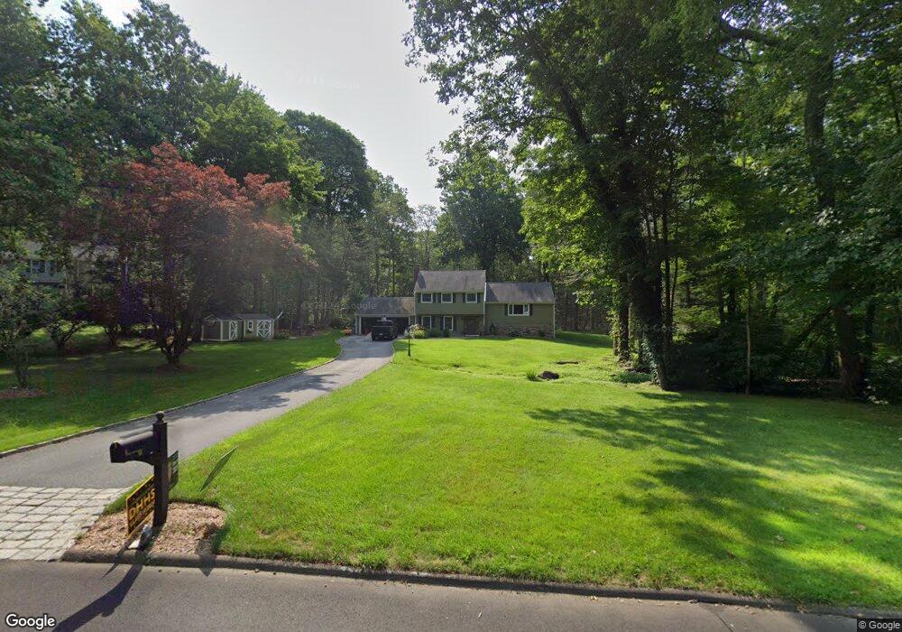
59 Oakwood Dr Madison, CT 06443
Estimated Value: $688,000 - $726,000
3
Beds
3
Baths
2,304
Sq Ft
$309/Sq Ft
Est. Value
About This Home
This home is located at 59 Oakwood Dr, Madison, CT 06443 and is currently estimated at $712,916, approximately $309 per square foot. 59 Oakwood Dr is a home located in New Haven County with nearby schools including Walter C. Polson Upper Middle School, Daniel Hand High School, and The Country School.
Ownership History
Date
Name
Owned For
Owner Type
Purchase Details
Closed on
May 11, 2004
Sold by
Maynard Carlos A and Maynard Bonnie R
Bought by
Dunsmore William P and Dunsmore Claudia S
Current Estimated Value
Home Financials for this Owner
Home Financials are based on the most recent Mortgage that was taken out on this home.
Original Mortgage
$220,000
Interest Rate
5.39%
Purchase Details
Closed on
Feb 2, 1993
Sold by
Grebel Martin and Grebel Irma
Bought by
Maynard Carlos A and Maynard Bonnie
Home Financials for this Owner
Home Financials are based on the most recent Mortgage that was taken out on this home.
Original Mortgage
$171,000
Interest Rate
8.16%
Mortgage Type
Unknown
Create a Home Valuation Report for This Property
The Home Valuation Report is an in-depth analysis detailing your home's value as well as a comparison with similar homes in the area
Home Values in the Area
Average Home Value in this Area
Purchase History
| Date | Buyer | Sale Price | Title Company |
|---|---|---|---|
| Dunsmore William P | $430,000 | -- | |
| Maynard Carlos A | $190,000 | -- |
Source: Public Records
Mortgage History
| Date | Status | Borrower | Loan Amount |
|---|---|---|---|
| Open | Maynard Carlos A | $288,000 | |
| Closed | Maynard Carlos A | $220,000 | |
| Previous Owner | Maynard Carlos A | $180,000 | |
| Previous Owner | Maynard Carlos A | $171,000 |
Source: Public Records
Tax History Compared to Growth
Tax History
| Year | Tax Paid | Tax Assessment Tax Assessment Total Assessment is a certain percentage of the fair market value that is determined by local assessors to be the total taxable value of land and additions on the property. | Land | Improvement |
|---|---|---|---|---|
| 2025 | $8,380 | $373,600 | $122,700 | $250,900 |
| 2024 | $8,219 | $373,600 | $122,700 | $250,900 |
| 2023 | $7,421 | $247,600 | $94,400 | $153,200 |
| 2022 | $7,282 | $247,600 | $94,400 | $153,200 |
| 2021 | $7,143 | $247,600 | $94,400 | $153,200 |
| 2020 | $7,019 | $247,600 | $94,400 | $153,200 |
| 2019 | $10,543 | $247,600 | $94,400 | $153,200 |
| 2018 | $6,559 | $233,900 | $92,000 | $141,900 |
| 2017 | $6,385 | $233,900 | $92,000 | $141,900 |
| 2016 | $6,196 | $233,900 | $92,000 | $141,900 |
| 2015 | $5,994 | $232,700 | $92,000 | $140,700 |
| 2014 | $7,309 | $290,400 | $139,000 | $151,400 |
Source: Public Records
Map
Nearby Homes
- 1071 Durham Rd
- 40 Legend Hill Rd
- 18 Deepwood Dr
- 39 Stepping Stone Ln
- 735 Opening Hill Rd
- 76 Squires Rd
- 81 Bartlett Dr
- 197 Concord Dr
- 1281 Durham Rd
- 247 C Old Toll Rd
- 0 Old Toll Rd Unit 24109109
- 174 Concord Dr
- 48 Shepherds Trail
- 132 Summer Hill Rd
- 48 Bar Gate Trail
- 37 Quail Run
- 728 Durham Rd
- 30 Chestnut Hill Rd
- 65 Ironwood Rd
- 23 Horsebarn Ln