59 Olmstead Hill Rd Wilton, CT 06897
Estimated Value: $1,214,000 - $1,507,000
4
Beds
6
Baths
2,968
Sq Ft
$457/Sq Ft
Est. Value
About This Home
This home is located at 59 Olmstead Hill Rd, Wilton, CT 06897 and is currently estimated at $1,355,509, approximately $456 per square foot. 59 Olmstead Hill Rd is a home located in Fairfield County with nearby schools including Miller-Driscoll School, Cider Mill School, and Middlebrook School.
Ownership History
Date
Name
Owned For
Owner Type
Purchase Details
Closed on
Jun 17, 2003
Sold by
Larson J Theodore
Bought by
Heffernan Brian J and Heffernan Elizabeth J
Current Estimated Value
Create a Home Valuation Report for This Property
The Home Valuation Report is an in-depth analysis detailing your home's value as well as a comparison with similar homes in the area
Home Values in the Area
Average Home Value in this Area
Purchase History
| Date | Buyer | Sale Price | Title Company |
|---|---|---|---|
| Heffernan Brian J | $950,000 | -- |
Source: Public Records
Mortgage History
| Date | Status | Borrower | Loan Amount |
|---|---|---|---|
| Open | Heffernan Brian J | $250,000 | |
| Closed | Heffernan Brian J | $320,000 | |
| Closed | Heffernan Brian J | $150,000 |
Source: Public Records
Tax History Compared to Growth
Tax History
| Year | Tax Paid | Tax Assessment Tax Assessment Total Assessment is a certain percentage of the fair market value that is determined by local assessors to be the total taxable value of land and additions on the property. | Land | Improvement |
|---|---|---|---|---|
| 2025 | $16,812 | $688,730 | $337,050 | $351,680 |
| 2024 | $16,488 | $688,730 | $337,050 | $351,680 |
| 2023 | $18,407 | $483,840 | $322,280 | $161,560 |
| 2022 | $13,659 | $483,840 | $322,280 | $161,560 |
| 2021 | $13,485 | $483,840 | $322,280 | $161,560 |
| 2020 | $9,487 | $483,840 | $322,280 | $161,560 |
| 2019 | $13,809 | $483,840 | $322,280 | $161,560 |
| 2018 | $13,981 | $495,950 | $339,360 | $156,590 |
| 2017 | $13,773 | $495,950 | $339,360 | $156,590 |
| 2016 | $13,559 | $495,950 | $339,360 | $156,590 |
| 2015 | $13,306 | $495,950 | $339,360 | $156,590 |
| 2014 | $13,148 | $495,950 | $339,360 | $156,590 |
Source: Public Records
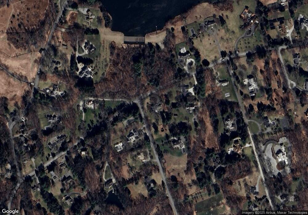
Map
Nearby Homes
- 112 Middlebrook Farm Rd
- 330 Ridgefield Rd
- 33 Middlebrook Farm Rd
- 35 Branch Brook Rd
- 111 Deforest Rd
- 10 Woodhill Rd
- 55 Tanners Dr
- 33 Cannon Rd
- 1 Canaan Cir
- 38 Honey Hill Rd
- 81 Graenest Ridge Rd
- 15 River Rd Unit STE 210
- 44 Benedict Hill Rd
- 439 Cheese Spring Rd
- 35 Village Walk
- 30 Wild Duck Rd
- 13 Indian Hill Rd
- 175 Mountain Rd
- 30 Black Alder Ln
- 52 Glen Ridge
- 75 Olmstead Hill Rd
- 11 English Dr
- 77 Olmstead Hill Rd
- 76 Olmstead Hill Rd
- 28 Olmstead Hill Rd
- 25 English Dr
- 9 English Dr
- 79 Olmstead Hill Rd
- 100 Nod Hill Rd
- 87 Olmstead Hill Rd
- 19 Olmstead Hill Rd
- 102 Nod Hill Rd
- 31 English Dr
- 24 Riding Club Rd
- 27 Olmstead Hill Rd
- 9 Riding Club Rd
- 38 English Dr
- 72 Nod Hill Rd
- 90 Olmstead Hill Rd