Estimated Value: $279,339 - $343,000
2
Beds
1
Bath
924
Sq Ft
$330/Sq Ft
Est. Value
About This Home
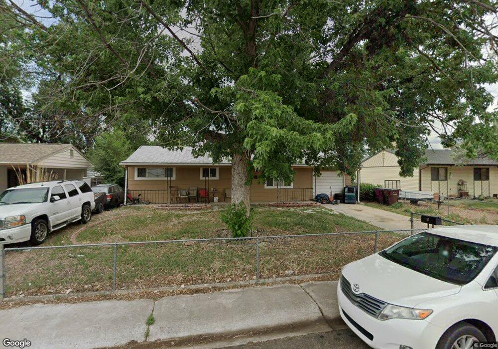
This home is located at 59 Otowi Dr, Colorado Springs, CO 80911 and is currently estimated at $304,835, approximately $329 per square foot. 59 Otowi Dr is a home located in El Paso County with nearby schools including Venetucci Elementary School, Watson Junior High School, and Widefield High School.
Ownership History
Date
Name
Owned For
Owner Type
Purchase Details
Closed on
Oct 8, 2010
Sold by
Fannie Mae
Bought by
Klein Ed and Klein Noemi
Current Estimated Value
Purchase Details
Closed on
Jul 8, 2010
Sold by
Henson Christa G
Bought by
Federal National Mortgage Association
Purchase Details
Closed on
May 30, 2003
Sold by
Meredith Kenneth B
Bought by
Henson Christa G
Home Financials for this Owner
Home Financials are based on the most recent Mortgage that was taken out on this home.
Original Mortgage
$110,200
Interest Rate
5.65%
Mortgage Type
Unknown
Purchase Details
Closed on
Sep 26, 2002
Sold by
Meredith Kenneth B
Bought by
Meredith Kenneth B
Create a Home Valuation Report for This Property
The Home Valuation Report is an in-depth analysis detailing your home's value as well as a comparison with similar homes in the area
Home Values in the Area
Average Home Value in this Area
Purchase History
| Date | Buyer | Sale Price | Title Company |
|---|---|---|---|
| Klein Ed | $70,100 | None Available | |
| Federal National Mortgage Association | -- | None Available | |
| Henson Christa G | $116,000 | Stewart Title | |
| Meredith Kenneth B | -- | -- |
Source: Public Records
Mortgage History
| Date | Status | Borrower | Loan Amount |
|---|---|---|---|
| Previous Owner | Henson Christa G | $110,200 |
Source: Public Records
Tax History Compared to Growth
Tax History
| Year | Tax Paid | Tax Assessment Tax Assessment Total Assessment is a certain percentage of the fair market value that is determined by local assessors to be the total taxable value of land and additions on the property. | Land | Improvement |
|---|---|---|---|---|
| 2025 | $883 | $15,910 | -- | -- |
| 2024 | $807 | $15,820 | $3,220 | $12,600 |
| 2023 | $807 | $15,820 | $3,220 | $12,600 |
| 2022 | $1,018 | $13,640 | $2,220 | $11,420 |
| 2021 | $1,099 | $14,040 | $2,290 | $11,750 |
| 2020 | $785 | $9,740 | $2,000 | $7,740 |
| 2019 | $780 | $9,740 | $2,000 | $7,740 |
| 2018 | $696 | $8,110 | $1,500 | $6,610 |
| 2017 | $704 | $8,110 | $1,500 | $6,610 |
| 2016 | $558 | $7,850 | $1,590 | $6,260 |
| 2015 | $572 | $7,850 | $1,590 | $6,260 |
| 2014 | $541 | $7,450 | $1,430 | $6,020 |
Source: Public Records
Map
Nearby Homes
- 95 Landoe Ln
- 80 Landoe Ln
- 404 Kiva Rd
- 107 Hayes Dr
- 105 Easy St
- 89 Security Blvd
- 112 Watson Blvd
- 101 Security Blvd
- 29 N Dartmouth St
- 41 N Dartmouth St
- 128 Amherst St
- 1 N Dartmouth St
- 25 N Ely St
- 6670 S U S Highway 85 87
- 5837 Upton Dr
- 111 Dartmouth St
- 6224 Gossamer St
- 6415 Gossamer St
- 115 Widefield Blvd
- 110 Fordham St