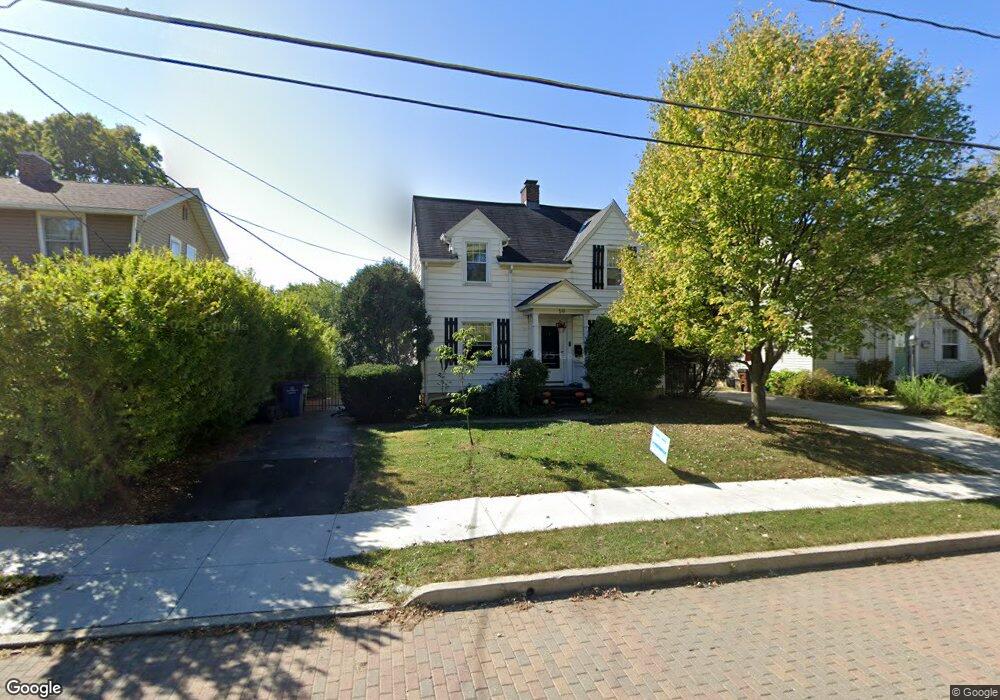
59 Parkview Ave Westerville, OH 43081
Estimated Value: $320,000 - $390,000
3
Beds
2
Baths
1,637
Sq Ft
$220/Sq Ft
Est. Value
About This Home
This home is located at 59 Parkview Ave, Westerville, OH 43081 and is currently estimated at $360,863, approximately $220 per square foot. 59 Parkview Ave is a home located in Franklin County with nearby schools including Whittier Elementary School, Blendon Middle School, and Westerville South High School.
Ownership History
Date
Name
Owned For
Owner Type
Purchase Details
Closed on
Apr 30, 2009
Sold by
Rescued Homes Ltd
Bought by
Wright Jonathan E and Koehler Margaret M
Current Estimated Value
Home Financials for this Owner
Home Financials are based on the most recent Mortgage that was taken out on this home.
Original Mortgage
$166,920
Outstanding Balance
$105,350
Interest Rate
4.83%
Mortgage Type
FHA
Estimated Equity
$255,513
Purchase Details
Closed on
Dec 22, 2008
Sold by
Shaw Robert and Shaw Robert H
Bought by
Rescued Homes Ltd
Purchase Details
Closed on
Dec 14, 1992
Bought by
Shaw Ruth B Le
Create a Home Valuation Report for This Property
The Home Valuation Report is an in-depth analysis detailing your home's value as well as a comparison with similar homes in the area
Home Values in the Area
Average Home Value in this Area
Purchase History
| Date | Buyer | Sale Price | Title Company |
|---|---|---|---|
| Wright Jonathan E | $170,000 | Eagleland | |
| Rescued Homes Ltd | $90,000 | Eagleland T | |
| Shaw Ruth B Le | -- | -- |
Source: Public Records
Mortgage History
| Date | Status | Borrower | Loan Amount |
|---|---|---|---|
| Open | Wright Jonathan E | $166,920 |
Source: Public Records
Tax History Compared to Growth
Tax History
| Year | Tax Paid | Tax Assessment Tax Assessment Total Assessment is a certain percentage of the fair market value that is determined by local assessors to be the total taxable value of land and additions on the property. | Land | Improvement |
|---|---|---|---|---|
| 2024 | $5,904 | $103,880 | $28,280 | $75,600 |
| 2023 | $5,778 | $103,880 | $28,280 | $75,600 |
| 2022 | $5,149 | $70,670 | $17,820 | $52,850 |
| 2021 | $5,192 | $70,670 | $17,820 | $52,850 |
| 2020 | $5,177 | $70,670 | $17,820 | $52,850 |
| 2019 | $4,666 | $60,130 | $14,840 | $45,290 |
| 2018 | $4,702 | $60,130 | $14,840 | $45,290 |
| 2017 | $4,589 | $60,130 | $14,840 | $45,290 |
| 2016 | $4,986 | $59,470 | $17,290 | $42,180 |
| 2015 | $4,829 | $59,470 | $17,290 | $42,180 |
| 2014 | $4,833 | $59,470 | $17,290 | $42,180 |
| 2013 | $2,298 | $56,630 | $16,450 | $40,180 |
Source: Public Records
Map
Nearby Homes
- 502 Foxtrail Cir E Unit 502
- 470 S State St
- 466 S State St
- 206 Charring Cross Dr S Unit 2206
- 476 S State St
- 559 Allview Ct
- 79 W Park St
- 66 Daleview Dr
- 25 King Arthur Blvd
- 360 Potawatomi Dr
- 53 W College Ave
- 465 W Schrock Rd
- 0 Cherrington Rd Unit 225023909
- 199 E College Ave
- 417 E Park St
- 92 N Vine St
- 0 Cooper Rd
- 364 E College Ave
- 368 E College Ave
- 461 Delaware Ct
- 57 Parkview Ave
- 63 Parkview Ave
- 49 Parkview Ave
- 67 Parkview Ave
- 60 Mariemont Dr N
- 54 Mariemont Dr N
- 47 Parkview Ave
- 47 Parkview Ave
- 75 Parkview Ave
- 48 Mariemont Dr N
- 72 Mariemont Dr N
- 56 Parkview Ave
- 66 Parkview Ave
- 81 Parkview Ave
- 50 Parkview Ave
- 78 Mariemont Dr N
- 42 Mariemont Dr N
- 46 Parkview Ave
- 76 Parkview Ave
- 43 Parkview Ave