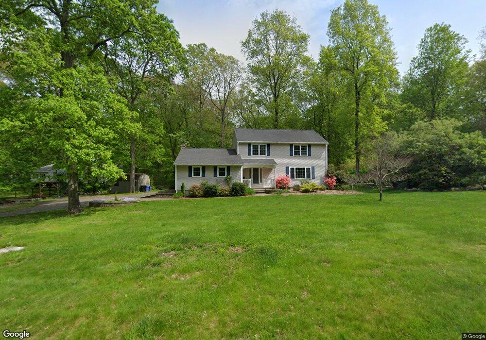
59 Pheasant Run Dr Gales Ferry, CT 06335
Estimated Value: $451,000 - $500,000
4
Beds
3
Baths
1,964
Sq Ft
$242/Sq Ft
Est. Value
About This Home
This home is located at 59 Pheasant Run Dr, Gales Ferry, CT 06335 and is currently estimated at $476,073, approximately $242 per square foot. 59 Pheasant Run Dr is a home located in New London County with nearby schools including Ledyard Middle School, Ledyard High School, and Academy Of St Therese.
Ownership History
Date
Name
Owned For
Owner Type
Purchase Details
Closed on
Jan 14, 2016
Sold by
Santora Patrick
Bought by
Santora Patrick and Lord Lawrence C
Current Estimated Value
Purchase Details
Closed on
Oct 13, 2006
Sold by
Bullooch Cecilia N
Bought by
Maranzano Brent J and Maranazano Rebekah J
Home Financials for this Owner
Home Financials are based on the most recent Mortgage that was taken out on this home.
Original Mortgage
$240,000
Interest Rate
6.47%
Purchase Details
Closed on
Jul 31, 2001
Sold by
Watch Hill Bldrs Llc
Bought by
Polokoff Nina
Create a Home Valuation Report for This Property
The Home Valuation Report is an in-depth analysis detailing your home's value as well as a comparison with similar homes in the area
Home Values in the Area
Average Home Value in this Area
Purchase History
| Date | Buyer | Sale Price | Title Company |
|---|---|---|---|
| Santora Patrick | -- | -- | |
| Maranzano Brent J | $300,000 | -- | |
| Polokoff Nina | $216,900 | -- |
Source: Public Records
Mortgage History
| Date | Status | Borrower | Loan Amount |
|---|---|---|---|
| Previous Owner | Polokoff Nina | $193,428 | |
| Previous Owner | Polokoff Nina | $232,956 | |
| Previous Owner | Polokoff Nina | $240,000 |
Source: Public Records
Tax History Compared to Growth
Tax History
| Year | Tax Paid | Tax Assessment Tax Assessment Total Assessment is a certain percentage of the fair market value that is determined by local assessors to be the total taxable value of land and additions on the property. | Land | Improvement |
|---|---|---|---|---|
| 2025 | $6,978 | $187,880 | $52,220 | $135,660 |
| 2024 | $6,596 | $187,320 | $52,220 | $135,100 |
| 2023 | $6,474 | $187,320 | $52,220 | $135,100 |
| 2022 | $6,335 | $187,320 | $52,220 | $135,100 |
| 2021 | $6,294 | $187,320 | $52,220 | $135,100 |
| 2020 | $6,264 | $179,130 | $54,740 | $124,390 |
| 2019 | $6,280 | $179,130 | $54,740 | $124,390 |
| 2018 | $6,142 | $179,130 | $54,740 | $124,390 |
| 2017 | $5,829 | $179,130 | $54,740 | $124,390 |
| 2016 | $5,714 | $179,130 | $54,740 | $124,390 |
| 2015 | $5,446 | $179,130 | $54,740 | $124,390 |
| 2014 | $5,536 | $185,150 | $54,740 | $130,410 |
Source: Public Records
Map
Nearby Homes
- 932 Long Cove Rd Unit TRLR 4
- 1010 Long Cove Rd
- 1513 Connecticut 12
- 17 Inchcliffe Dr
- 11 Marty's Way
- 25 Marty's Way
- 27 Marty's Way
- 16 Marty's Way
- 18 Marty's Way
- 31 Richard Rd
- 39 Ash Dr Unit 9
- 47 Norman Dr
- 14 Woodland Ln
- 7 Briarwood Ct
- 95 Murphys Dr Unit 95
- 9 Reservoir View
- 7 Harvard Rd
- 2 Garden Ct
- 123A Whalehead Rd
- 9 West Dr
- 57 Pheasant Run Dr
- 61 Pheasant Run Dr
- 60 Pheasant Run Dr
- 11 Warbler Way
- 63 Pheasant Run Dr
- 58 Pheasant Run Dr
- 55 Pheasant Run Dr
- 6 Osprey Dr
- 56 Pheasant Run Dr
- 64 Pheasant Run Dr
- 9 Warbler Way
- 65 Pheasant Run Dr
- 53 Pheasant Run Dr
- 4 Osprey Dr
- 8 Osprey Dr
- 10 Quail Meadow Ln
- 11 Quail Meadow Ln
- 10 Warbler Way
- 67 Pheasant Run Dr
- 51 Pheasant Run Dr