59 Port Tack Hilton Head Island, SC 29928
Palmetto Dunes NeighborhoodEstimated Value: $1,979,000 - $2,277,000
5
Beds
6
Baths
3,341
Sq Ft
$641/Sq Ft
Est. Value
About This Home
This home is located at 59 Port Tack, Hilton Head Island, SC 29928 and is currently estimated at $2,141,623, approximately $641 per square foot. 59 Port Tack is a home located in Beaufort County with nearby schools including Hilton Head Island Early Childhood Center, Hilton Head Island Elementary School, and Hilton Head Island Middle School.
Ownership History
Date
Name
Owned For
Owner Type
Purchase Details
Closed on
Sep 18, 2020
Sold by
Soboloski Joseph A and Soboloski Gail T
Bought by
Ptack Llc
Current Estimated Value
Purchase Details
Closed on
Aug 13, 2002
Sold by
Maloy Alan and Maloy Cynthia
Bought by
Soboloski Joseph A and Soboloski Gail T
Create a Home Valuation Report for This Property
The Home Valuation Report is an in-depth analysis detailing your home's value as well as a comparison with similar homes in the area
Home Values in the Area
Average Home Value in this Area
Purchase History
| Date | Buyer | Sale Price | Title Company |
|---|---|---|---|
| Ptack Llc | -- | None Available | |
| Soboloski Joseph A | $264,500 | -- |
Source: Public Records
Tax History Compared to Growth
Tax History
| Year | Tax Paid | Tax Assessment Tax Assessment Total Assessment is a certain percentage of the fair market value that is determined by local assessors to be the total taxable value of land and additions on the property. | Land | Improvement |
|---|---|---|---|---|
| 2024 | $16,061 | $62,400 | $0 | $0 |
| 2023 | $15,907 | $62,400 | $0 | $0 |
| 2022 | $14,377 | $54,260 | $0 | $0 |
| 2021 | $14,410 | $54,260 | $0 | $0 |
| 2020 | $13,964 | $54,260 | $0 | $0 |
| 2019 | $13,668 | $54,260 | $0 | $0 |
| 2018 | $13,006 | $54,260 | $0 | $0 |
| 2017 | $12,191 | $48,730 | $0 | $0 |
| 2016 | $11,647 | $48,730 | $0 | $0 |
| 2014 | $10,504 | $48,730 | $0 | $0 |
Source: Public Records
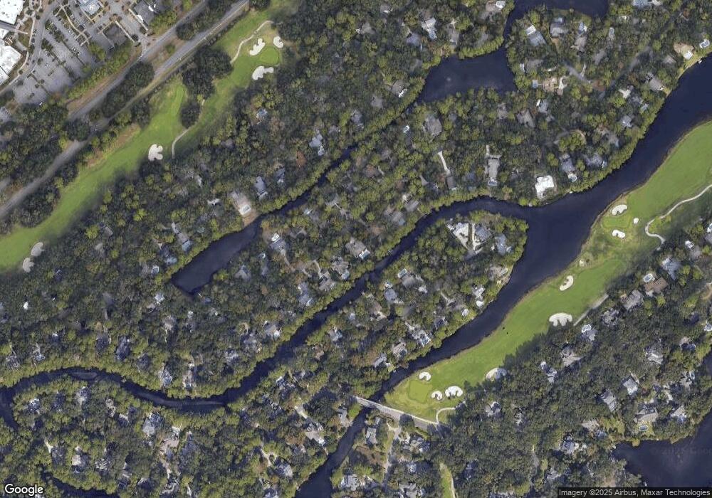
Map
Nearby Homes
- 50 Off Shore
- 7 Lee Shore
- 8 Off Shore
- 49 Haul Away
- 37 Haul Away
- 99 Mooring Buoy
- 3 Yard Arm
- 116 Mooring Buoy
- 12 Port Tack
- 21 Haul Away Unit 15
- 28 Swing About
- 4 Lookout
- 5 Newport Dr Unit 2200
- 5 Newport Dr Unit 2105
- 5 Newport Dr Unit 7102
- 19 Shelter Cove Ln Unit 207
- 67 Windmill Harbour
- A-12 Windmill Harbour Marina
- 10 Newport Dr Unit 3302
- 191 Mooring Buoy