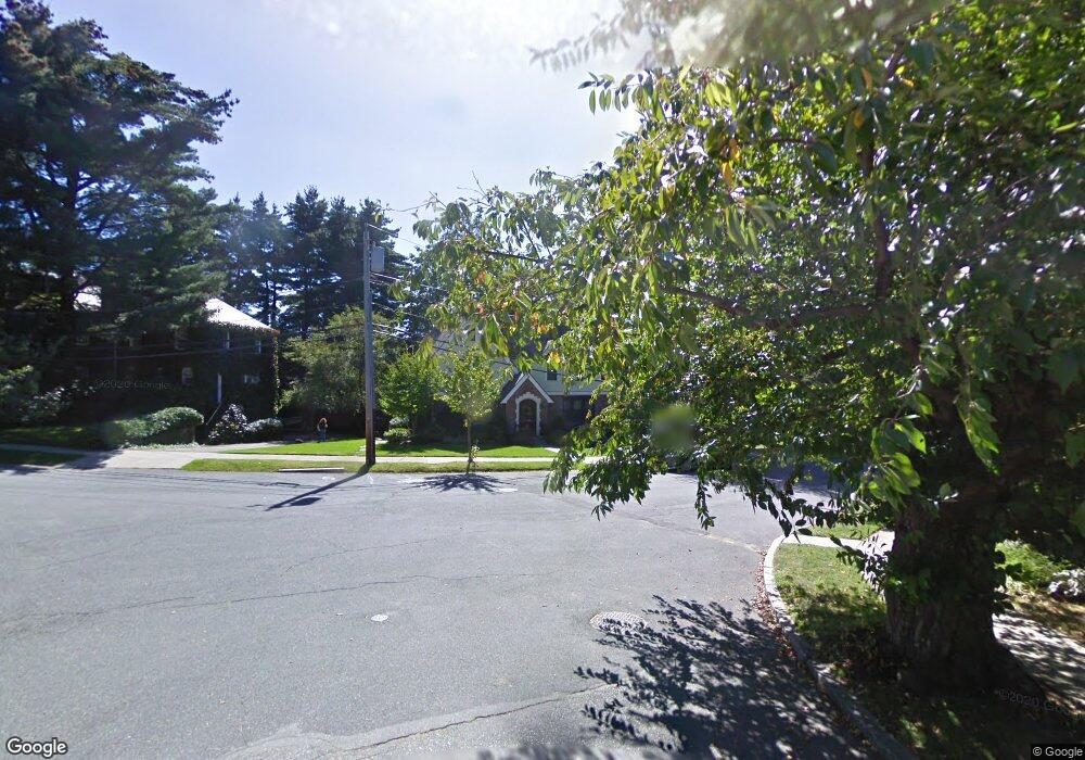
59 Randolph Rd Chestnut Hill, MA 02467
Chestnut Hill NeighborhoodEstimated Value: $2,266,000 - $2,773,000
4
Beds
4
Baths
2,708
Sq Ft
$937/Sq Ft
Est. Value
About This Home
This home is located at 59 Randolph Rd, Chestnut Hill, MA 02467 and is currently estimated at $2,536,602, approximately $936 per square foot. 59 Randolph Rd is a home located in Norfolk County with nearby schools including Heath Elementary School, Brookline High School, and Mount Alvernia Academy.
Ownership History
Date
Name
Owned For
Owner Type
Purchase Details
Closed on
Feb 28, 2020
Sold by
Levin Eric and Fineberg Michelle R
Bought by
Randolph Road Nt and Levin
Current Estimated Value
Purchase Details
Closed on
Oct 28, 2004
Sold by
Rowe Eliza H and Rowe William S
Bought by
Levin Eric and Fineberg Michelle
Purchase Details
Closed on
Sep 10, 1998
Sold by
Donovan Alfred L
Bought by
Rowe Eliza H and Rowe William S
Create a Home Valuation Report for This Property
The Home Valuation Report is an in-depth analysis detailing your home's value as well as a comparison with similar homes in the area
Home Values in the Area
Average Home Value in this Area
Purchase History
| Date | Buyer | Sale Price | Title Company |
|---|---|---|---|
| Randolph Road Nt | -- | None Available | |
| Randolph Road Nt | -- | None Available | |
| Randolph Road Nt | -- | None Available | |
| Levin Eric | $1,275,000 | -- | |
| Levin Eric | $1,275,000 | -- | |
| Rowe Eliza H | $756,500 | -- |
Source: Public Records
Mortgage History
| Date | Status | Borrower | Loan Amount |
|---|---|---|---|
| Previous Owner | Rowe Eliza H | $355,000 | |
| Previous Owner | Rowe Eliza H | $330,000 |
Source: Public Records
Tax History
| Year | Tax Paid | Tax Assessment Tax Assessment Total Assessment is a certain percentage of the fair market value that is determined by local assessors to be the total taxable value of land and additions on the property. | Land | Improvement |
|---|---|---|---|---|
| 2025 | $24,629 | $2,495,300 | $1,407,900 | $1,087,400 |
| 2024 | $23,489 | $2,404,200 | $1,353,800 | $1,050,400 |
| 2023 | $22,471 | $2,253,900 | $1,128,300 | $1,125,600 |
| 2022 | $21,873 | $2,146,500 | $1,074,500 | $1,072,000 |
| 2021 | $20,227 | $2,064,000 | $1,033,200 | $1,030,800 |
| 2020 | $18,497 | $1,957,400 | $939,200 | $1,018,200 |
| 2019 | $17,468 | $1,864,200 | $894,500 | $969,700 |
| 2018 | $17,437 | $1,843,200 | $968,100 | $875,100 |
| 2017 | $17,180 | $1,738,900 | $913,300 | $825,600 |
| 2016 | $16,934 | $1,625,100 | $853,500 | $771,600 |
| 2015 | $16,221 | $1,518,800 | $797,700 | $721,100 |
| 2014 | $15,497 | $1,360,600 | $725,100 | $635,500 |
Source: Public Records
Map
Nearby Homes
- 1014 Boylston St
- 331 Heath St
- 460 Heath St
- 476 Heath St
- 130 Cabot St
- 0 Glenoe Rd
- 9 Singletree Rd
- 3 Glenoe Rd
- 764 Hammond St
- 142 Crafts Rd
- 188 Heath St
- 520 Clinton Rd
- 394 Hammond St
- 76 Boylston St Unit 4
- 15 Glenland Rd
- 85 Gate House Rd
- 2420 Beacon St Unit 401
- 321 Hammond Pond Pkwy Unit 103
- 321 Hammond Pond Pkwy Unit 105
- 321 Hammond Pond Pkwy Unit 106
Your Personal Tour Guide
Ask me questions while you tour the home.