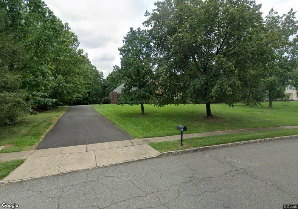
59 Roanoke Rd Belle Mead, NJ 08502
Estimated Value: $1,045,000 - $1,210,000
--
Bed
--
Bath
3,034
Sq Ft
$375/Sq Ft
Est. Value
About This Home
This home is located at 59 Roanoke Rd, Belle Mead, NJ 08502 and is currently estimated at $1,139,223, approximately $375 per square foot. 59 Roanoke Rd is a home located in Somerset County with nearby schools including Orchard Hill Elementary School, Montgomery Lower Mid School, and Village Elementary School.
Ownership History
Date
Name
Owned For
Owner Type
Purchase Details
Closed on
Jul 5, 1999
Sold by
Donahue George
Bought by
Meeker James and Meeker Cynthia
Current Estimated Value
Home Financials for this Owner
Home Financials are based on the most recent Mortgage that was taken out on this home.
Original Mortgage
$210,000
Outstanding Balance
$59,242
Interest Rate
7.65%
Estimated Equity
$1,079,981
Purchase Details
Closed on
Sep 28, 1994
Sold by
Hansbury Thomas
Bought by
Donahue George and Donahue Patricia
Home Financials for this Owner
Home Financials are based on the most recent Mortgage that was taken out on this home.
Original Mortgage
$150,000
Interest Rate
8.55%
Purchase Details
Closed on
Jul 27, 1992
Sold by
Larken Associates
Bought by
Hansbury Thoms M and Hansbury Barbara L
Create a Home Valuation Report for This Property
The Home Valuation Report is an in-depth analysis detailing your home's value as well as a comparison with similar homes in the area
Home Values in the Area
Average Home Value in this Area
Purchase History
| Date | Buyer | Sale Price | Title Company |
|---|---|---|---|
| Meeker James | $449,900 | -- | |
| Donahue George | $375,000 | -- | |
| Hansbury Thoms M | $355,000 | -- |
Source: Public Records
Mortgage History
| Date | Status | Borrower | Loan Amount |
|---|---|---|---|
| Open | Meeker James | $210,000 | |
| Previous Owner | Donahue George | $150,000 |
Source: Public Records
Tax History Compared to Growth
Tax History
| Year | Tax Paid | Tax Assessment Tax Assessment Total Assessment is a certain percentage of the fair market value that is determined by local assessors to be the total taxable value of land and additions on the property. | Land | Improvement |
|---|---|---|---|---|
| 2025 | $20,995 | $612,800 | $261,700 | $351,100 |
| 2024 | $20,995 | $612,800 | $261,700 | $351,100 |
| 2023 | $20,976 | $612,800 | $261,700 | $351,100 |
| 2022 | $19,744 | $612,800 | $261,700 | $351,100 |
| 2021 | $19,579 | $612,800 | $261,700 | $351,100 |
| 2020 | $19,420 | $612,800 | $261,700 | $351,100 |
| 2019 | $19,291 | $612,800 | $261,700 | $351,100 |
| 2018 | $18,844 | $612,800 | $261,700 | $351,100 |
| 2017 | $18,519 | $612,800 | $261,700 | $351,100 |
| 2016 | $18,194 | $612,800 | $261,700 | $351,100 |
| 2015 | $17,777 | $612,800 | $261,700 | $351,100 |
| 2014 | $17,563 | $612,800 | $261,700 | $351,100 |
Source: Public Records
Map
Nearby Homes
- 1723 Us Highway 206
- 11 Cortland Place
- 59 Montgomery Rd
- 28 Bedford Dr
- 43 Dead Tree Run Rd
- 167 Dead Tree Run Rd
- 18 Oxford Cir
- 106 Village Dr
- 110 Village Dr
- 108 Village Dr
- 112 Village Dr
- 2 E Hartwick Dr
- 17 E Hartwick Dr
- 2 Washington St
- 74 Dublin Rd
- 74 Harlingen Rd
- 44 Bridle Path
- 21 Harlingen Rd
- 16 Dorland Farm Ct
- 37 Crescent Ave
- 63 Roanoke Rd
- 53 Roanoke Rd
- 1743 Us Highway 206
- 66 Roanoke Rd
- 52 Roanoke Rd
- 69 Roanoke Rd
- 44 Wellington Ct
- 1737 Us Highway 206
- 76 Roanoke Rd
- 43 Roanoke Rd
- 1731 Us Highway 206
- 1731 U S 206
- 45 Wellington Ct
- 73 Roanoke Rd
- 73 Roanoke Rd Unit 1
- 44 Roanoke Rd
- 1733 Forrest Hill Ave
- 1733 Us Highway 206
- 129 Village Dr
- 117 Village Dr